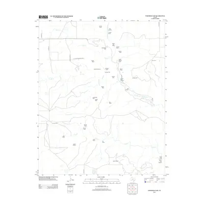
2012 Map of Fortress Cliff
USGS Topo · Published 2012About this map
Palo Duro Canyon State Park defines the landscape of this region in Randall County, Texas. The terrain is characterized by the complex erosional features created by the Prairie Dog Town Fork Red River and its numerous tributaries, such as Timber Cr and N Cita Cr. Geologic landmarks like Fortress Cliff, Lighthouse Peak, and Castle Peak stand out against the broad expanses of Elbow Plateau and Swan Plateau. The map documents a mix of public conservation land and private holdings like Reynolds Ranch and Krahn Ranch. Access to the canyon floor is provided by Park Rd 5, while surrounding areas remain accessible via routes like Pullman Rd and Goathead Rd. The intricate network of draws and canyons, including Rustlers Draw and Seep Canyon, illustrates the complex drainage systems of the Panhandle.
Find a feature on this map
46 named features on this map. Tap any name to fly to it.
Don’t see what you’re looking for? This feature index may not catch every label — zoom into the map to look around manually.
Map Details
Editions of this 2012 Fortress Cliff Map
This is the sole edition of this map. No revisions or reprints were ever made.
Other maps of this area

1954 · Amarillo
USGS Topo · 1:250,000

1954 · Plainview
USGS Topo · 1:250,000

1956 · Fortress Cliff
USGS Topo · 1:24,000

1956 · Thomas Ranch
USGS Topo · 1:24,000

1958 · Amarillo
USGS Topo · 1:250,000

1958 · Plainview
USGS Topo · 1:250,000

1960 · Canyon
USGS Topo · 1:62,500

1960 · Fairview
USGS Topo · 1:24,000

1960 · The Palisades
USGS Topo · 1:24,000

1960 · Wayside
USGS Topo · 1:62,500