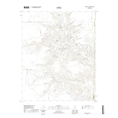
2019 Map of Fortress Cliff
USGS Topo · Published 2019About this map
Palo Duro Canyon dominates this 2019 survey, revealing the intricate geological carvings of the Prairie Dog Town Fork Red River. The landscape is a network of named promontories and deep draws, including Fortress Cliff and the iconic Lighthouse Peak. The map provides a detailed view of the regional topography, where the high plains of the Elbow Plateau and Swan Plateau drop into a complex system of valleys like North Cita Canyon. A vast network of trails, such as the CCC Trail, Upper Comanche Trail, and the Rylander-Fortress Cliff Trail, follows the rims and canyon floors, documenting the recreational infrastructure of this Texas Panhandle landmark. From the heights of Goodnight Peak to the basin at Sunday Flats, the map records the enduring names of this distinct environment.
Find a feature on this map
69 named features on this map. Tap any name to fly to it.
Don’t see what you’re looking for? This feature index may not catch every label — zoom into the map to look around manually.
Map Details
Editions of this 2019 Fortress Cliff Map
This is the sole edition of this map. No revisions or reprints were ever made.
Other maps of this area

1954 · Amarillo
USGS Topo · 1:250,000

1954 · Plainview
USGS Topo · 1:250,000

1956 · Fortress Cliff
USGS Topo · 1:24,000

1956 · Thomas Ranch
USGS Topo · 1:24,000

1958 · Amarillo
USGS Topo · 1:250,000

1958 · Plainview
USGS Topo · 1:250,000

1960 · Canyon
USGS Topo · 1:62,500

1960 · Fairview
USGS Topo · 1:24,000

1960 · The Palisades
USGS Topo · 1:24,000

1960 · Wayside
USGS Topo · 1:62,500