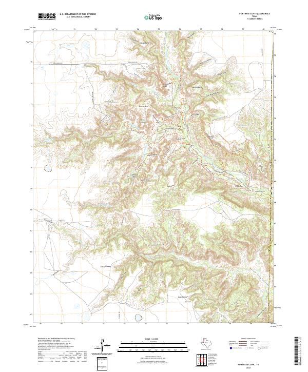
2022 Map of Fortress Cliff
USGS Topo · Published 2022About this map
Fortress Cliff dominates this portion of the Texas Panhandle, overlooking a complex system of canyons and mesas carved by the Prairie Dog Town Fork Red River. The landscape is defined by dramatic geological formations such as Goodnight Peak, Lighthouse Peak, and the distinctive Devils Tombstone. The drainage network includes Sunday Creek and Little Sunday Creek, which feed into the larger river system, while broad elevated areas like Timber Mesa, Elbow Plateau, and Swan Plateau provide significant horizontal relief.
Find a feature on this map
71 named features on this map. Tap any name to fly to it.
Don’t see what you’re looking for? This feature index may not catch every label — zoom into the map to look around manually.
Map Details
Editions of this 2022 Fortress Cliff Map
This is the sole edition of this map. No revisions or reprints were ever made.
Other maps of this area

1954 · Amarillo
USGS Topo · 1:250,000

1954 · Plainview
USGS Topo · 1:250,000

1956 · Fortress Cliff
USGS Topo · 1:24,000

1956 · Thomas Ranch
USGS Topo · 1:24,000

1958 · Amarillo
USGS Topo · 1:250,000

1958 · Plainview
USGS Topo · 1:250,000

1960 · Canyon
USGS Topo · 1:62,500

1960 · Fairview
USGS Topo · 1:24,000

1960 · The Palisades
USGS Topo · 1:24,000

1960 · Wayside
USGS Topo · 1:62,500