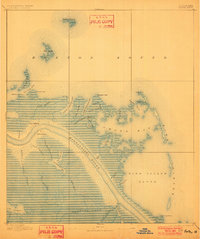
1893 Map of Forts
USGS Topo · Published 1901About this map
Fort Jackson and Fort St. Phillip stand as strategic guardians along the tight southern curve of the Mississippi River in this turn-of-the-century coastal survey. Compiled from earlier Coast and Geodetic Survey data, the map details a landscape almost entirely at sea level, where the river meets a complex network of bays, passes, and tidal marshes. To the east, the waters of Breton Sound and Bird Island Sound wrap around barrier features like Battledore Island and Sable Island.
Find a feature on this map
48 named features on this map. Tap any name to fly to it.
Don’t see what you’re looking for? This feature index may not catch every label — zoom into the map to look around manually.
Map Details
Editions of this 1893 Forts Map
4 editions found
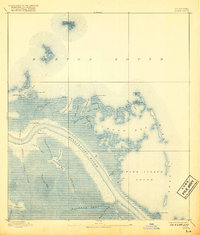
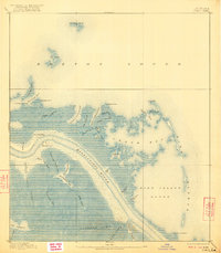
Other maps of this area

1892 · Quarantine
USGS Topo · 1:62,500

1893 · East Delta
USGS Topo · 1:62,500

1893 · La Fortuna
USGS Topo · 1:62,500

1893 · Forts
USGS Topo · 1:62,500

1893 · Dime
USGS Topo · 1:62,500

1893 · West Delta
USGS Topo · 1:62,500

1935 · Taylor Pass
USGS Topo · 1:31,680

1935 · Tropical Bend
USGS Topo · 1:31,680

1941 · Black Bay
USGS Topo · 1:62,500

1941 · Empire
USGS Topo · 1:62,500