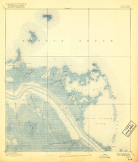
1893 Map of Forts
USGS Topo · Published 1917About this map
Fort Jackson and Fort St. Phillip stand as the primary human sentinels on this map, guarding a strategic bend in the Mississippi River deep within the Mississippi Delta. Based on surveys from 1891, the landscape is a complex labyrinth of coastal marshes, bayous, and sounds, where the river's path is carved through an intricate network of waterways like Lucas Canal and the Salt Works Canal. These man-made cuts, alongside natural features like Grand Bayou Carrion Crow and Bayou Grand Liard, illustrate the historic efforts to navigate and utilize the soft alluvial terrain of Plaquemines Parish.
Find a feature on this map
48 named features on this map. Tap any name to fly to it.
Don’t see what you’re looking for? This feature index may not catch every label — zoom into the map to look around manually.
Map Details
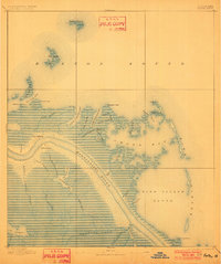
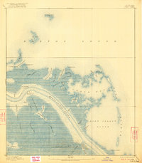
Editions of this 1893 Forts Map
4 editions found
Other maps of this area

1892 · Quarantine
USGS Topo · 1:62,500

1893 · East Delta
USGS Topo · 1:62,500

1893 · La Fortuna
USGS Topo · 1:62,500

1893 · Forts
USGS Topo · 1:62,500

1893 · Dime
USGS Topo · 1:62,500

1893 · West Delta
USGS Topo · 1:62,500

1935 · Taylor Pass
USGS Topo · 1:31,680

1935 · Tropical Bend
USGS Topo · 1:31,680

1941 · Black Bay
USGS Topo · 1:62,500

1941 · Empire
USGS Topo · 1:62,500