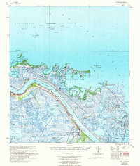
1960 Map of Forts
USGS Topo · Published 1961About this map
Fort St Philip stands as a sentinel along the eastern bank of the Mississippi River, marking a strategic point in the lower Plaquemines Parish landscape during the 1960s. The settlement pattern follows the narrow strip of habitable land along the river's western levee, where communities like Boothville, Triumph, and Venice are concentrated. This area, known as The Jump, serves as the final terrestrial gateway before the river dissolves into the sprawling delta.
Find a feature on this map
52 named features on this map. Tap any name to fly to it.
Don’t see what you’re looking for? This feature index may not catch every label — zoom into the map to look around manually.
Map Details
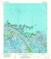
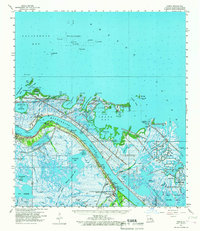
Editions of this 1960 Forts Map
3 editions found
Other maps of this area

1892 · Quarantine
USGS Topo · 1:62,500

1893 · East Delta
USGS Topo · 1:62,500

1893 · La Fortuna
USGS Topo · 1:62,500

1893 · Forts
USGS Topo · 1:62,500

1893 · Dime
USGS Topo · 1:62,500

1893 · West Delta
USGS Topo · 1:62,500

1935 · Taylor Pass
USGS Topo · 1:31,680

1935 · Tropical Bend
USGS Topo · 1:31,680

1941 · Black Bay
USGS Topo · 1:62,500

1941 · Empire
USGS Topo · 1:62,500