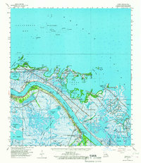
1960 Map of Venice
USGS Topo · Published 1967About this map
The Mississippi River creates the defining spine of this landscape, where the southern reaches of the bird-foot delta meet the Gulf of Mexico. Narrow corridors of dry land along the levees support the communities of Boothville, Triumph, and Venice, which are anchored by river industry and oil exploration. Significant infrastructure for the regional economy is visible in the Venice Oil Field and the offshore Block 33 and 35 Oil Field, while the eastern portion of the map is dominated by the sprawling wetlands of the Delta National Wildlife Refuge. Historical sites such as Fort St Philip and the Boothville Cem reflect the long human presence at the edge of the continent. The network of waterways including The Jump, Baptiste Collette Bayou, and Spanish Pass illustrates the complex hydrologic system that allows for navigation through the marshlands toward Breton Island.
Find a feature on this map
60 named features on this map. Tap any name to fly to it.
Don’t see what you’re looking for? This feature index may not catch every label — zoom into the map to look around manually.
Map Details
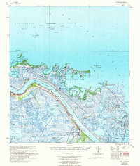
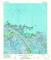
Editions of this 1960 Venice Map
3 editions found
Other maps of this area

1892 · Quarantine
USGS Topo · 1:62,500

1893 · East Delta
USGS Topo · 1:62,500

1893 · La Fortuna
USGS Topo · 1:62,500

1893 · Forts
USGS Topo · 1:62,500

1893 · Dime
USGS Topo · 1:62,500

1893 · West Delta
USGS Topo · 1:62,500

1935 · Taylor Pass
USGS Topo · 1:31,680

1935 · Tropical Bend
USGS Topo · 1:31,680

1941 · Black Bay
USGS Topo · 1:62,500

1941 · Empire
USGS Topo · 1:62,500