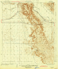
1929 Map of Fortuna
USGS Topo · Published 1943About this map
The Fortuna Mine and the surrounding desert landscape dominate this 1929 topographic study, conducted just as the region’s transport and utility infrastructure began to modernize. The Southern Pacific railroad follows the course of the Gila River through the northern portion of the map, connecting small rail stops like Blaisdell, Granite Spur, and Ligurta. These settlements, though sparse, represent critical infrastructure points in the arid Gila Valley, supported by the presence of the Electric and Water Gas Company.
Find a feature on this map
15 named features on this map. Tap any name to fly to it.
Don’t see what you’re looking for? This feature index may not catch every label — zoom into the map to look around manually.
Map Details
Editions of this 1929 Fortuna Map
4 editions found
Other maps of this area

1903 · Yuma
USGS Topo · 1:125,000

1905 · Yuma
USGS Topo · 1:125,000

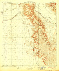
1926 · Fortuna
USGS Topo · 1:62,500

1926 · Wellton
USGS Topo · 1:62,500

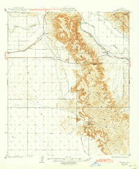
1929 · Fortuna
USGS Topo · 1:62,500

1929 · Laguna
USGS Topo · 1:62,500

1929 · Wellton
USGS Topo · 1:62,500

1940 · Yuma
USGS Topo · 1:62,500

1942 · Yuma
USGS Topo · 1:250,000

1943 · Laguna
USGS Topo · 1:62,500