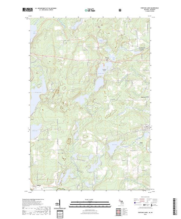
2023 Map of Fortune Lakes
USGS Topo · Published 2023About this map
The iron-rich landscapes of the Upper Peninsula are defined here by a network of glacial lakes and historical mining outposts. Alpha stands as the primary settlement, while smaller residential clusters like New Bristol Location and Dunn Location hint at the area's industrial heritage. The southern boundary of the map follows the Stateline Route Trl along the border with Wisconsin, passing through the northern reaches of the Nicolet National Forest near the small community of Pentoga.
Find a feature on this map
91 named features on this map. Tap any name to fly to it.
Don’t see what you’re looking for? This feature index may not catch every label — zoom into the map to look around manually.
Map Details
Editions of this 2023 Fortune Lakes Map
This is the sole edition of this map. No revisions or reprints were ever made.
Other maps of this area

1898 · Iron River
USGS Topo · 1:62,500

1899 · Crystal Falls
USGS Topo · 1:62,500

1939 · Long Lake
USGS Topo · 1:48,000

1941 · Florence
USGS Topo · 1:48,000

1944 · Crystal Falls
USGS Topo · 1:24,000

1944 · Gaastra
USGS Topo · 1:24,000

1944 · Fortune Lakes
USGS Topo · 1:24,000

1945 · Sunset Lake
USGS Topo · 1:24,000

1945 · Kelso Junction
USGS Topo · 1:24,000

1945 · Amasa
USGS Topo · 1:24,000