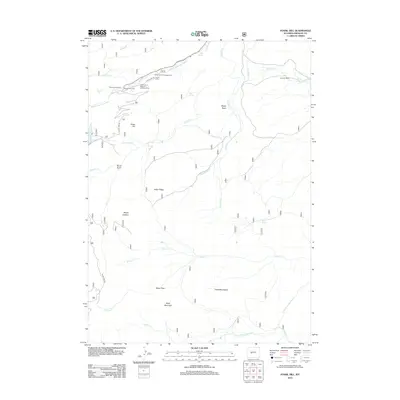
2012 Map of Fossil Hill
USGS Topo · Published 2012About this map
The University of Missouri Geology Camp serves as a distinct academic landmark in this high-elevation landscape south of Lander, where the Middle Popo Agie River carves through the terrain. The geography is defined by significant hydrological features including The Sinks, where the river disappears underground, and the Walker Ditch irrigation system. Cattle ranching and outdoor recreation leave their mark via the Eversole Ranch and facilities like the Bruce Picnic Area and Sinks Canyon Campground.
Find a feature on this map
32 named features on this map. Tap any name to fly to it.
Don’t see what you’re looking for? This feature index may not catch every label — zoom into the map to look around manually.
Map Details
Editions of this 2012 Fossil Hill Map
This is the sole edition of this map. No revisions or reprints were ever made.
Other maps of this area

1952 · Lander
USGS Topo · 1:24,000

1953 · Cony Mountain
USGS Topo · 1:24,000

1953 · Mount Arter
USGS Topo · 1:24,000

1953 · Fossil Hill
USGS Topo · 1:24,000

1953 · Louis Lake
USGS Topo · 1:24,000

1953 · Christina Lake
USGS Topo · 1:24,000

1953 · Mount Arter SE
USGS Topo · 1:24,000

1954 · Wolf Point
USGS Topo · 1:24,000

1954 · Miners Delight
USGS Topo · 1:24,000

1955 · Lander
USGS Topo · 1:250,000