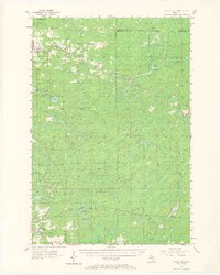
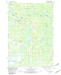
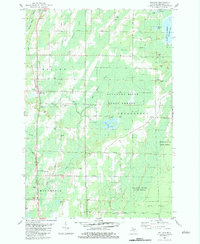
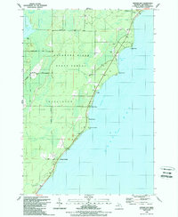
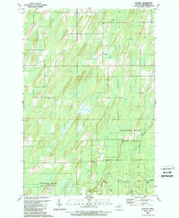
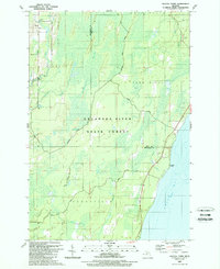
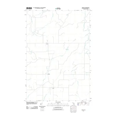
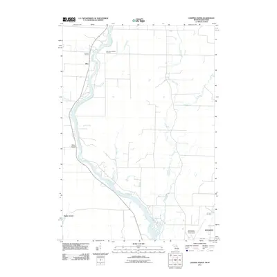
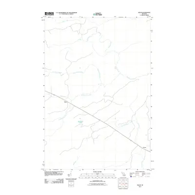
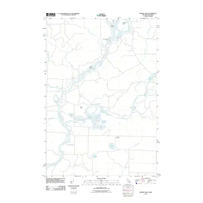
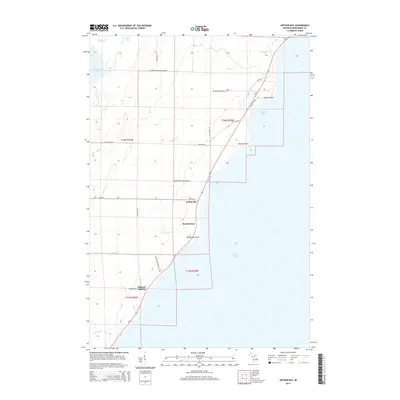
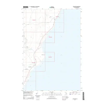
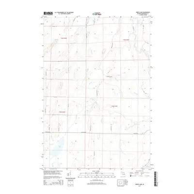
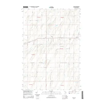
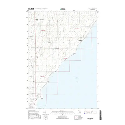
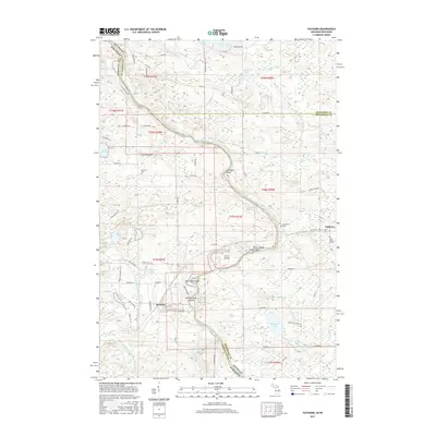
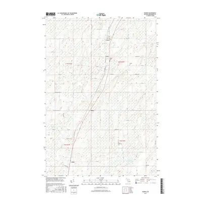
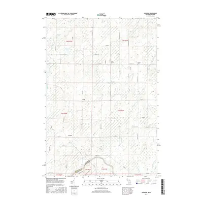
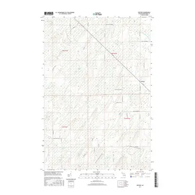
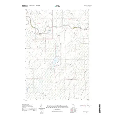
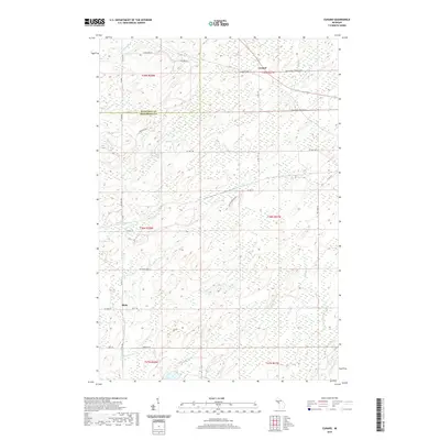
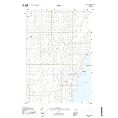
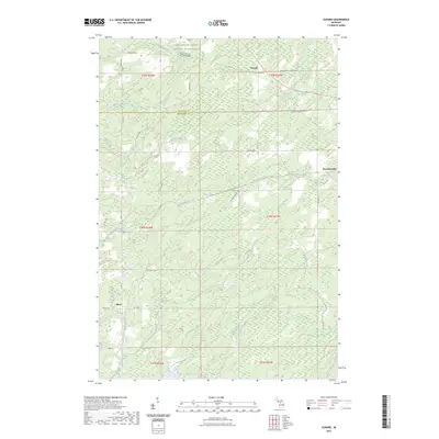
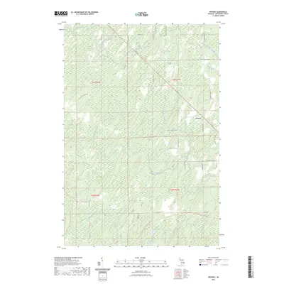
1956 Map of Foster City
USGS Topo · Published 1966About this map
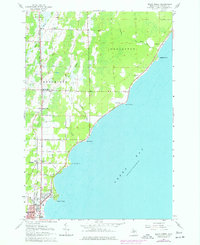
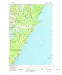
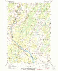
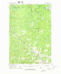
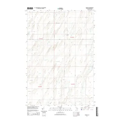
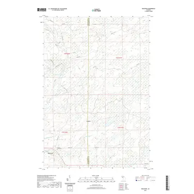
Foster City and Hardwood stand as the primary hubs in this mid-century portrait of the Upper Peninsula, situated along the Chicago and North Western rail line. The landscape is defined by the dense hydrological network of the Sturgeon River State Forest and Menominee State Forest, where the Sturgeon River and Cedar River drain a complex terrain of wetlands and small lakes. Settlement patterns follow the rail corridor through Breen and Spalding townships, connecting smaller stops like Hylas and Helps. Genealogists will find the Township Cem near the northern border, while industrial historians can trace the timber-supporting infrastructure of Siding No 4 and various creek branches that once drove the regional economy. The map illustrates a rural Michigan interior still heavily reliant on its forest resources and rail connectivity.
Find a feature on this map
48 named features on this map. Tap any name to fly to it.
Don’t see what you’re looking for? This feature index may not catch every label — zoom into the map to look around manually.
Map Details
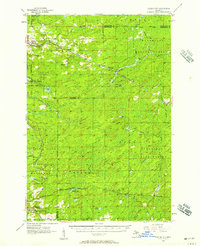
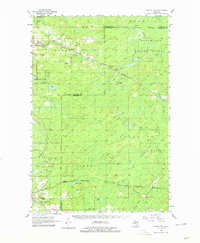
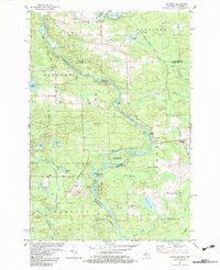
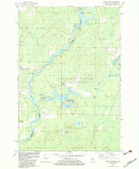
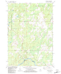
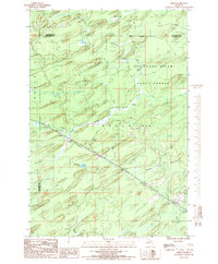
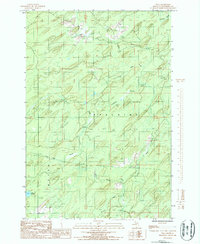
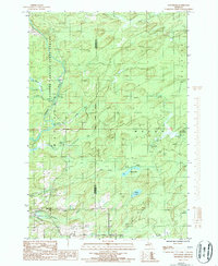
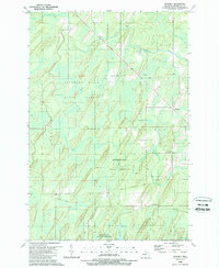
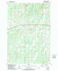
Editions of this 1956 Foster City Map
3 editions found
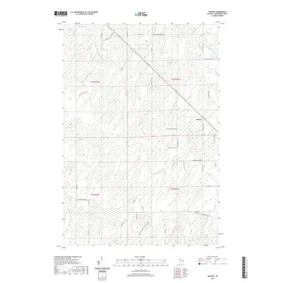
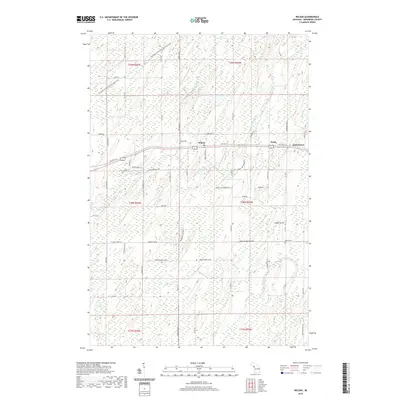
Historical Maps of Waucedah Through Time
130 maps found
1956 Foster City
Menominee County, MI
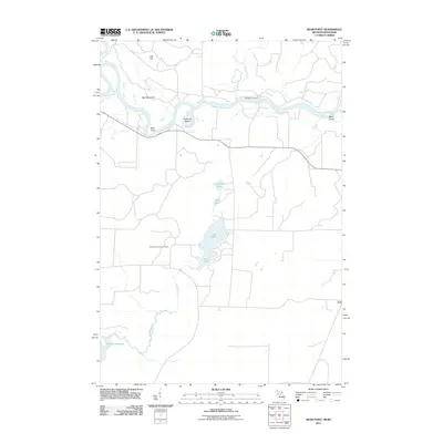
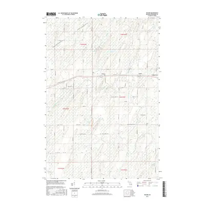
1963 Bark River
Menominee County, MI
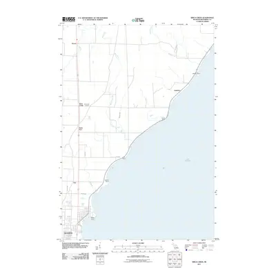
1963 Birch Creek
Menominee County, MI
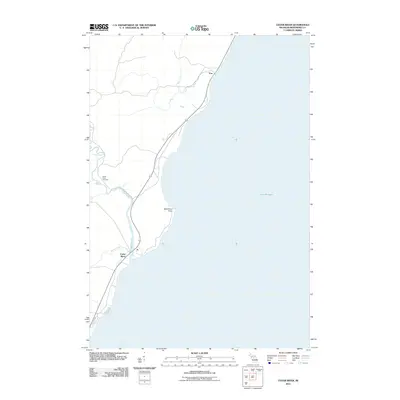
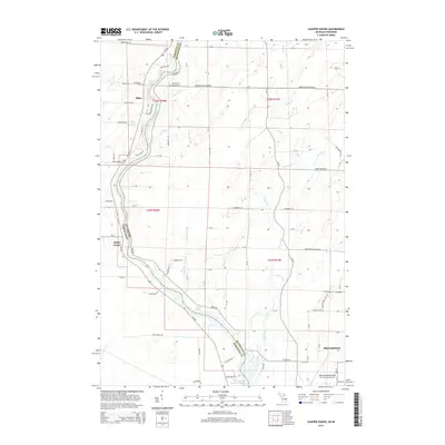
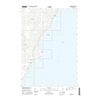
1963 Cedar River
Menominee County, MI
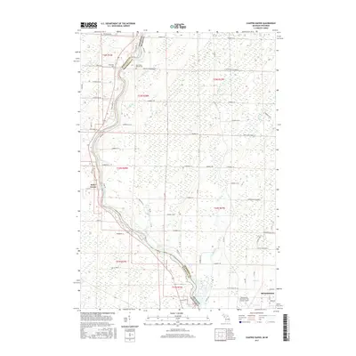
1963 Chappee Rapids
Menominee County, MI
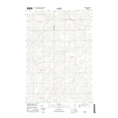
1963 Schaffer
Menominee County, MI
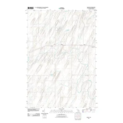
1982 Bear Point
Menominee County, MI
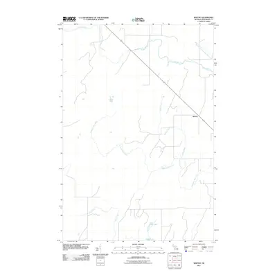
1982 Faithorn
Menominee County, MI
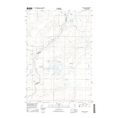
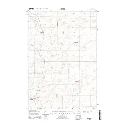
1982 Resort Lake
Menominee County, MI
1982 Swanson
Menominee County, MI
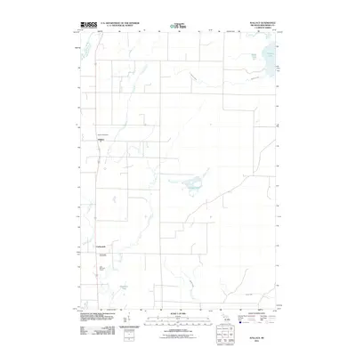
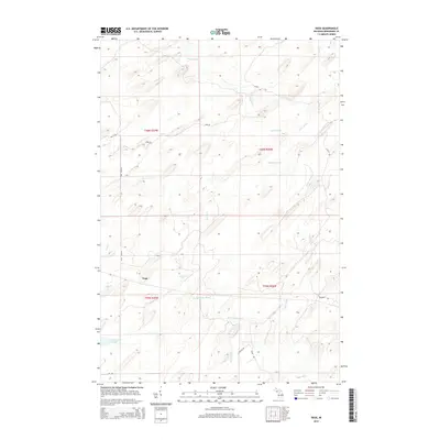
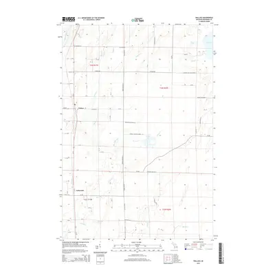
1982 Wallace
Menominee County, MI
1986 Helps
Menominee County, MI
1986 Vega
Menominee County, MI
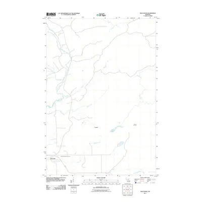
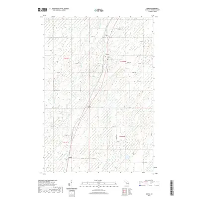
1986 Waucedah
Menominee County, MI
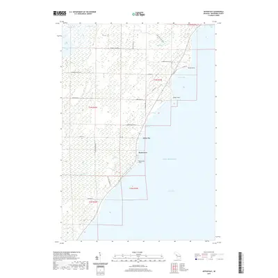
1989 Arthur Bay
Menominee County, MI
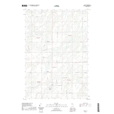
1989 Banat
Menominee County, MI
1989 Cedar River
Menominee County, MI
1989 Cunard
Menominee County, MI
1989 Gourley
Menominee County, MI
1989 La Branche
Menominee County, MI
1989 Nadeau
Menominee County, MI
1989 North Lake
Menominee County, MI
1989 Seagull Point
Menominee County, MI
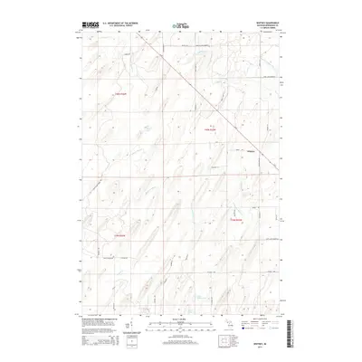
1989 Whitney
Menominee County, MI
1989 Wilson
Menominee County, MI
2011 Arthur Bay
Menominee County, MI
2011 Banat
Menominee County, MI
2011 Bear Point
Menominee County, MI
2011 Birch Creek
Menominee County, MI
2011 Cedar River
Menominee County, MI
2011 Chappee Rapids
Menominee County, MI
2011 Cunard
Menominee County, MI
2011 Faithorn
Menominee County, MI
2011 Gourley
Menominee County, MI
2011 Helps
Menominee County, MI
2011 La Branche
Menominee County, MI
2011 Nadeau
Menominee County, MI
2011 North Lake
Menominee County, MI
2011 Resort Lake
Menominee County, MI
2011 Seagull Point
Menominee County, MI
2011 Swanson
Menominee County, MI
2011 Vega
Menominee County, MI
2011 Wallace
Menominee County, MI
2011 Waucedah
Menominee County, MI
2011 Whitney
Menominee County, MI
2011 Wilson
Menominee County, MI
2014 Arthur Bay
Menominee County, MI
2014 Banat
Menominee County, MI
2014 Bear Point
Menominee County, MI
2014 Birch Creek
Menominee County, MI
2014 Cedar River
Menominee County, MI
2014 Chappee Rapids
Menominee County, MI
2014 Cunard
Menominee County, MI
2014 Faithorn
Menominee County, MI
2014 Gourley
Menominee County, MI
2014 Helps
Menominee County, MI
2014 La Branche
Menominee County, MI
2014 Nadeau
Menominee County, MI
2014 North Lake
Menominee County, MI
2014 Resort Lake
Menominee County, MI
2014 Seagull Point
Menominee County, MI
2014 Swanson
Menominee County, MI
2014 Vega
Menominee County, MI
2014 Wallace
Menominee County, MI
2014 Waucedah
Menominee County, MI
2014 Whitney
Menominee County, MI
2014 Wilson
Menominee County, MI
2017 Arthur Bay
Menominee County, MI
2017 Banat
Menominee County, MI
2017 Bear Point
Menominee County, MI
2017 Birch Creek
Menominee County, MI
2017 Cedar River
Menominee County, MI
2017 Chappee Rapids
Menominee County, MI
2017 Cunard
Menominee County, MI
2017 Faithorn
Menominee County, MI
2017 Gourley
Menominee County, MI
2017 Helps
Menominee County, MI
2017 La Branche
Menominee County, MI
2017 Nadeau
Menominee County, MI
2017 North Lake
Menominee County, MI
2017 Resort Lake
Menominee County, MI
2017 Seagull Point
Menominee County, MI
2017 Swanson
Menominee County, MI
2017 Vega
Menominee County, MI
2017 Wallace
Menominee County, MI
2017 Waucedah
Menominee County, MI
2017 Whitney
Menominee County, MI
2017 Wilson
Menominee County, MI
2019 Arthur Bay
Menominee County, MI
2019 Banat
Menominee County, MI
2019 Bear Point
Menominee County, MI
2019 Birch Creek
Menominee County, MI
2019 Cedar River
Menominee County, MI
2019 Chappee Rapids
Menominee County, MI
2019 Cunard
Menominee County, MI
2019 Faithorn
Menominee County, MI
2019 Gourley
Menominee County, MI
2019 Helps
Menominee County, MI
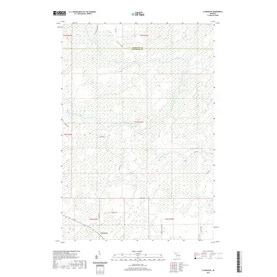
2019 La Branche
Menominee County, MI
2019 Nadeau
Menominee County, MI
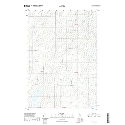
2019 North Lake
Menominee County, MI
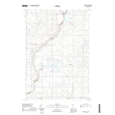
2019 Resort Lake
Menominee County, MI
2019 Seagull Point
Menominee County, MI
2019 Swanson
Menominee County, MI
2019 Vega
Menominee County, MI
2019 Wallace
Menominee County, MI
2019 Waucedah
Menominee County, MI
2019 Whitney
Menominee County, MI
2019 Wilson
Menominee County, MI
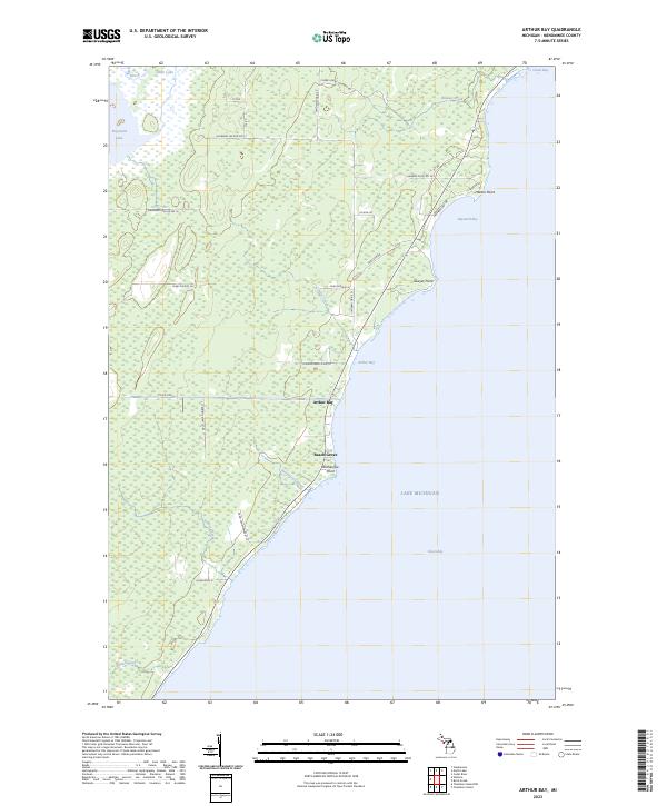
2023 Arthur Bay
Menominee County, MI
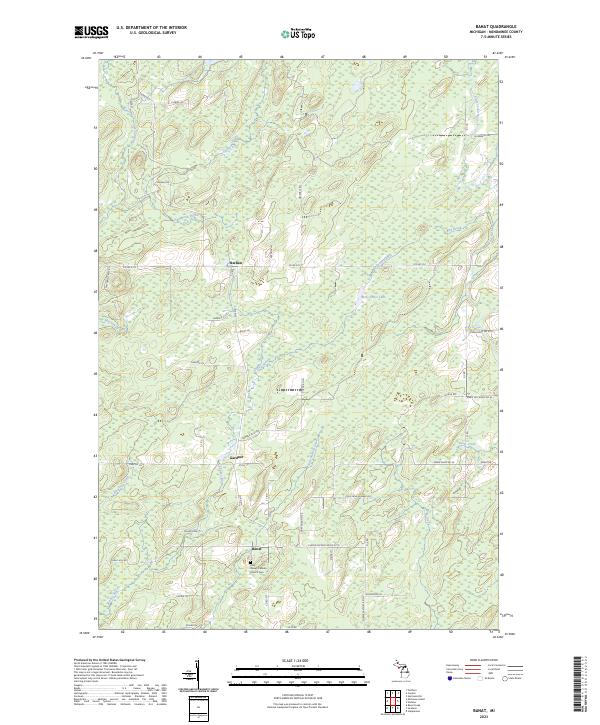
2023 Banat
Menominee County, MI
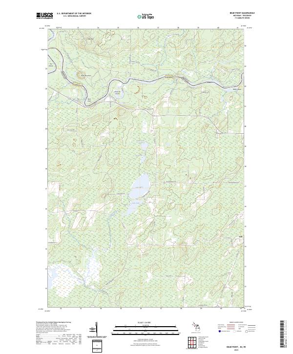
2023 Bear Point
Menominee County, MI

2023 Birch Creek
Menominee County, MI
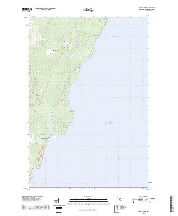
2023 Cedar River
Menominee County, MI
2023 Chappee Rapids
Menominee County, MI
2023 Cunard
Menominee County, MI
2023 Faithorn
Menominee County, MI
2023 Gourley
Menominee County, MI
2023 Helps
Menominee County, MI
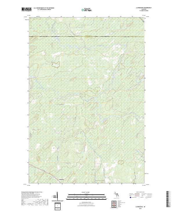
2023 La Branche
Menominee County, MI
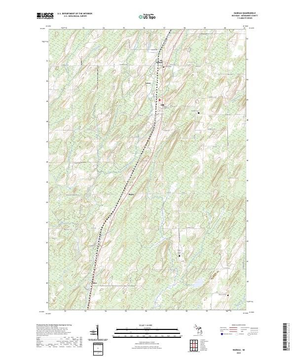
2023 Nadeau
Menominee County, MI
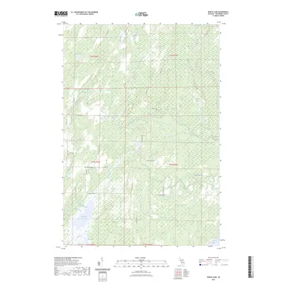
2023 North Lake
Menominee County, MI
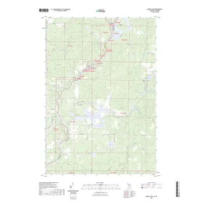
2023 Resort Lake
Menominee County, MI
2023 Seagull Point
Menominee County, MI
2023 Swanson
Menominee County, MI
2023 Vega
Menominee County, MI

2023 Wallace
Menominee County, MI
2023 Waucedah
Menominee County, MI
2023 Whitney
Menominee County, MI
2023 Wilson
Menominee County, MI
Featured Locations
- Felch Township, MI
- Vega, Meyer Township
- Waucedah, Waucedah Township
- Hardwood, Breen Township
- Hylas, Breen Township