
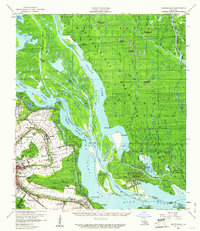
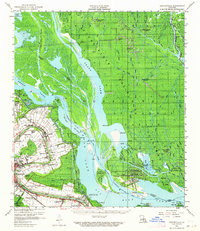
1959 Map of Foster
USGS Topo · Published 1960About this map
Franklin and the adjacent ribbon of settlements along Bayou Teche dominate the southwestern corner of this survey, revealing a landscape defined by both plantation-era geography and mid-century industrial expansion. The agricultural heritage of Iberia Parish and ST Martin Parish is visible in the placement of Oaklawn Manor, Belleview, and Camperdown, while the Southern Pacific railroad and the New Iberia And Northern Pacific provide the transport backbone for the region's commerce.
Find a feature on this map
59 named features on this map. Tap any name to fly to it.
Don’t see what you’re looking for? This feature index may not catch every label — zoom into the map to look around manually.
Map Details
Editions of this 1959 Foster Map
3 editions found
Other maps of this area

1935 · Morgan City
USGS Topo · 1:62,500

1935 · Chicot Lake
USGS Topo · 1:62,500

1936 · White Castle
USGS Topo · 1:62,500

1937 · Bayou Sale
USGS Topo · 1:62,500

1937 · Jeanerette
USGS Topo · 1:62,500

1941 · Loreauville
USGS Topo · 1:62,500

1941 · Belle Isle
USGS Topo · 1:62,500

1945 · New Orleans
USGS Topo · 1:250,000

1948 · Foster
USGS Topo · 1:62,500

1953 · Napoleonville
USGS Topo · 1:62,500