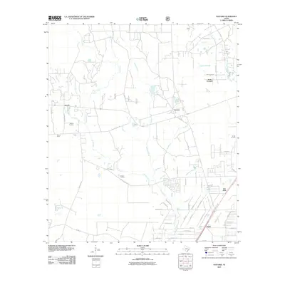
2010 Map of Fostoria
USGS Topo · Published 2010About this map
Peach Creek and Jayhawker Creek wind through this part of Liberty County, defining a landscape shaped by creek branches and low-lying ponds. The small settlements of Fostoria and Security serve as local hubs, connected by a network of timber and farm roads like Old State Hwy 105 and Fostoria Rd. The presence of Security Siding near the western edge of the map points to the area's historical reliance on rail transport for local industry and commerce.
Find a feature on this map
70 named features on this map. Tap any name to fly to it.
Don’t see what you’re looking for? This feature index may not catch every label — zoom into the map to look around manually.
Map Details
Editions of this 2010 Fostoria Map
This is the sole edition of this map. No revisions or reprints were ever made.
Other maps of this area

1954 · Beaumont
USGS Topo · 1:250,000

1957 · Beaumont
USGS Topo · 1:250,000

1958 · Fostoria
USGS Topo · 1:24,000

1958 · Cleveland
USGS Topo · 1:24,000

1958 · Westcott
USGS Topo · 1:24,000

1958 · Bear Creek
USGS Topo · 1:24,000

1959 · Plum Grove
USGS Topo · 1:24,000

1959 · Outlaw Pond
USGS Topo · 1:24,000

1959 · Cut and Shoot
USGS Topo · 1:24,000

1959 · Conroe NE
USGS Topo · 1:24,000