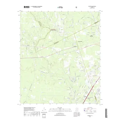
2019 Map of Fostoria
USGS Topo · Published 2019About this map
Sam Houston National Forest lands dominate the northern reaches of this landscape, where the borders of San Jacinto, Montgomery, and Liberty counties converge. The area is defined by a dense network of watercourses and wetlands, including the branching reaches of Peach Cr, Jayhawker Cr, and Shell Br. These creeks feed into numerous named bodies of water such as Chapman Ponds, Big Pond, and Ward Pond, reflecting the low-lying, hydrologically active nature of the East Texas piney woods.
Find a feature on this map
116 named features on this map. Tap any name to fly to it.
Don’t see what you’re looking for? This feature index may not catch every label — zoom into the map to look around manually.
Map Details
Editions of this 2019 Fostoria Map
This is the sole edition of this map. No revisions or reprints were ever made.
Other maps of this area

1954 · Beaumont
USGS Topo · 1:250,000

1957 · Beaumont
USGS Topo · 1:250,000

1958 · Fostoria
USGS Topo · 1:24,000

1958 · Cleveland
USGS Topo · 1:24,000

1958 · Westcott
USGS Topo · 1:24,000

1958 · Bear Creek
USGS Topo · 1:24,000

1959 · Plum Grove
USGS Topo · 1:24,000

1959 · Outlaw Pond
USGS Topo · 1:24,000

1959 · Cut and Shoot
USGS Topo · 1:24,000

1959 · Conroe NE
USGS Topo · 1:24,000