Loading...
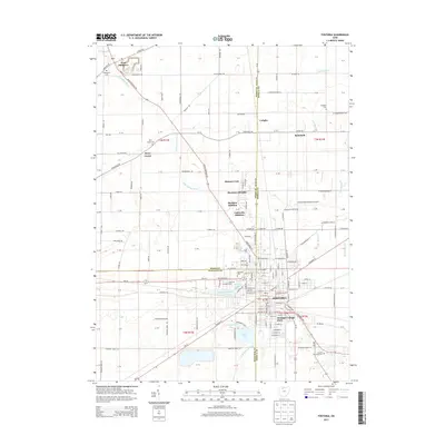
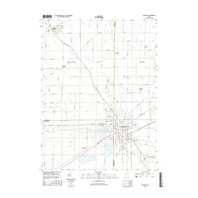
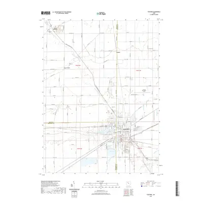
Loading map...1960 Map of Fostoria
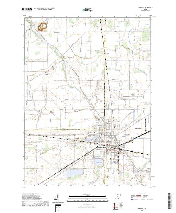
USGS Topo · Published 1973About this map
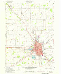
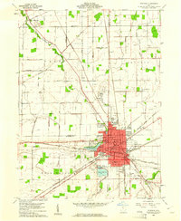
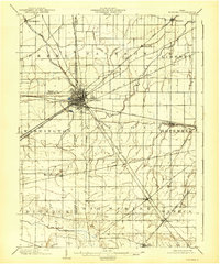
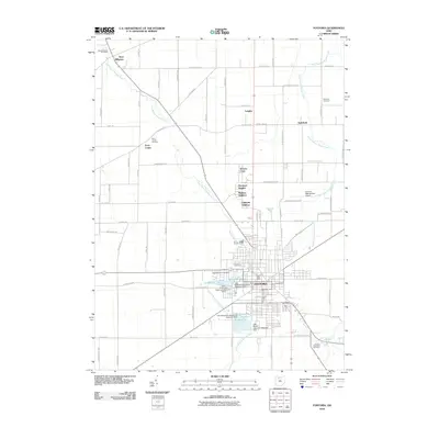
Fostoria serves as a significant regional hub where the industrial and agricultural landscapes of Wood, Seneca, and Hancock counties converge. The city is a dense nexus of rail activity, defined by the crossing of the Penn Central, Chesapeake and Ohio, Norfolk and Western, and Baltimore and Ohio railroads. This concentration of transport infrastructure is complemented by local water resources like Lake Lamberjack, Lake Mottram, and Lake Mosier, which sit near the city's western and southern edges.
Find a feature on this map
56 named features on this map. Tap any name to fly to it.
Don’t see what you’re looking for? This feature index may not catch every label — zoom into the map to look around manually.
Map Details
Date Portrayed1960
Date Published1973
PublisherU.S. Geological Survey
Map TypeTopographic
Scale1:24,000
Physical Dimensions22 x 26.8 inches
Editions of this 1960 Fostoria Map
2 editions found
Historical Maps of Fostoria Through Time
8 maps found

Featured Locations
Source Details
SourceU.S. Geological Survey
CopyrightPublic Domain