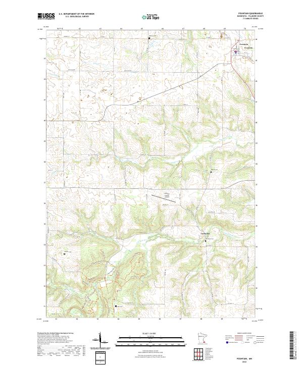
2022 Map of Fountain
USGS Topo · Published 2022About this map
Fountain stands as the primary settlement in this portion of Fillmore County, positioned near the junction of several regional routes and the Root River State Trail. The landscape is defined by the winding course of the S Br Root River and its numerous tributaries, including Watson Cr and Sugar Cr, which carve through the terrain to create distinctive features like Sugar Camp Hollow. This area maintains a strong connection to its pioneer roots, evidenced by the numerous burial sites scattered across the townships, such as Winslow Cem, Watson Cem, and Pioneer Cem. The presence of the Fillmore County Airport near the center of the quadrangle indicates the intersection of traditional rural land use with modern transportation infrastructure. South of the main settlement, the smaller community of Carimona sits along the river, accompanied by the Carimona Cem, reflecting the early nodes of development in this river valley region.
Find a feature on this map
72 named features on this map. Tap any name to fly to it.
Don’t see what you’re looking for? This feature index may not catch every label — zoom into the map to look around manually.
Map Details
Editions of this 2022 Fountain Map
This is the sole edition of this map. No revisions or reprints were ever made.
Other maps of this area

1954 · Chatfield
USGS Topo · 1:62,500

1954 · Mason City
USGS Topo · 1:250,000

1955 · Stewartville
USGS Topo · 1:62,500

1957 · Mason City
USGS Topo · 1:250,000

1958 · Mason City
USGS Topo · 1:250,000

1965 · Greenleafton
USGS Topo · 1:24,000

1965 · Harmony
USGS Topo · 1:24,000

1965 · Wykoff
USGS Topo · 1:24,000

1965 · Fountain
USGS Topo · 1:24,000

1965 · Cherry Grove
USGS Topo · 1:24,000