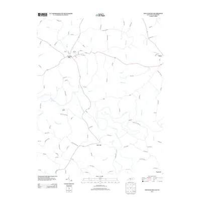
2013 Map of Fountain Run
USGS Topo · Published 2013About this map
Fountain Run serves as the primary hub of this rural landscape, situated at the intersection of several local routes in a region defined by its complex drainage network. The topography is shaped by the Barren River and the eastern reaches of Barren River Lake, with numerous creeks such as Indian Cr and Spring Cr carving through the countryside. This survey captures a pattern of dispersed agricultural settlement, where small communities like Akersville and Flippin are connected by a web of named country roads.
Find a feature on this map
90 named features on this map. Tap any name to fly to it.
Don’t see what you’re looking for? This feature index may not catch every label — zoom into the map to look around manually.
Map Details
Editions of this 2013 Fountain Run Map
This is the sole edition of this map. No revisions or reprints were ever made.
Other maps of this area

1926 · Scottsville
USGS Topo · 1:62,500

1931 · Lafayette
USGS Topo · 1:62,500

1931 · Red Boiling Springs
USGS Topo · 1:62,500

1953 · Tracy
USGS Topo · 1:24,000

1953 · Freedom
USGS Topo · 1:24,000

1954 · Austin
USGS Topo · 1:24,000

1954 · Fountain Run
USGS Topo · 1:24,000

1954 · Gamaliel
USGS Topo · 1:24,000

1954 · Holland
USGS Topo · 1:24,000

1956 · Corbin
USGS Topo · 1:250,000