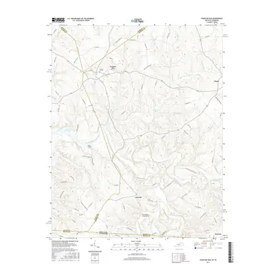
2016 Map of Fountain Run
USGS Topo · Published 2016About this map
The Barren River meanders through the borders of Barren, Allen, and Monroe Counties in Kentucky, creating a complex landscape of sharp ridges and deep valleys. This 2016 survey highlights the agrarian character of the region, where small settlements like Flippin and Akersville are connected by a network of rural roads such as Lebanon Church Rd and Figure Eight Branch Rd. To the northwest, the Barren River Lake occupies the lower elevations, while the town of Fountain Run serves as a local hub, featuring the Fountain Run Cem.
Find a feature on this map
87 named features on this map. Tap any name to fly to it.
Don’t see what you’re looking for? This feature index may not catch every label — zoom into the map to look around manually.
Map Details
Editions of this 2016 Fountain Run Map
This is the sole edition of this map. No revisions or reprints were ever made.
Other maps of this area

1926 · Scottsville
USGS Topo · 1:62,500

1931 · Lafayette
USGS Topo · 1:62,500

1931 · Red Boiling Springs
USGS Topo · 1:62,500

1953 · Tracy
USGS Topo · 1:24,000

1953 · Freedom
USGS Topo · 1:24,000

1954 · Austin
USGS Topo · 1:24,000

1954 · Fountain Run
USGS Topo · 1:24,000

1954 · Gamaliel
USGS Topo · 1:24,000

1954 · Holland
USGS Topo · 1:24,000

1956 · Corbin
USGS Topo · 1:250,000