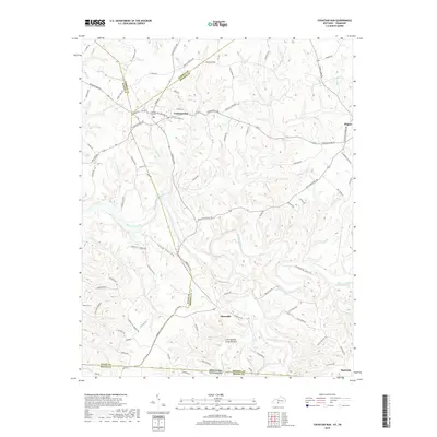
2019 Map of Fountain Run
USGS Topo · Published 2019About this map
Fountain Run sits at the intersection of several county lines in this southern Kentucky landscape, serving as a focal point for the surrounding agricultural community. The terrain is defined by the winding course of the Barren River and the deeply incised valleys of Indian Creek and Salt Lick Creek. These watercourses have shaped the local geography, creating distinctive features like the Jack Edward Cosby Bottom and the prominent White Oak Ridge. The map details a network of rural roads that connect small settlements and family landmarks, illustrating the enduring settlement patterns of Monroe, Barren, and Allen counties.
Find a feature on this map
99 named features on this map. Tap any name to fly to it.
Don’t see what you’re looking for? This feature index may not catch every label — zoom into the map to look around manually.
Map Details
Editions of this 2019 Fountain Run Map
This is the sole edition of this map. No revisions or reprints were ever made.
Other maps of this area

1926 · Scottsville
USGS Topo · 1:62,500

1931 · Lafayette
USGS Topo · 1:62,500

1931 · Red Boiling Springs
USGS Topo · 1:62,500

1953 · Tracy
USGS Topo · 1:24,000

1953 · Freedom
USGS Topo · 1:24,000

1954 · Austin
USGS Topo · 1:24,000

1954 · Fountain Run
USGS Topo · 1:24,000

1954 · Gamaliel
USGS Topo · 1:24,000

1954 · Holland
USGS Topo · 1:24,000

1956 · Corbin
USGS Topo · 1:250,000