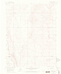
1961 Map of Fountain SE
USGS Topo · Published 1970About this map
The semi-arid high plains of south-central Colorado are defined by a network of ephemeral watercourses and large cattle ranching operations during the early 1960s. Fountain Creek flows along the western edge, providing a crucial water source that supported early settlement and transportation corridors. The industrial character of the region is evident in the parallel lines of the Denver and Rio Grande Western RR and the A T & S F RR, which follow the creek valley south toward the El Paso Co Pueblo Co boundary.
Find a feature on this map
16 named features on this map. Tap any name to fly to it.
Don’t see what you’re looking for? This feature index may not catch every label — zoom into the map to look around manually.
Map Details
Editions of this 1961 Fountain SE Map
4 editions found
Other maps of this area

1891 · Pueblo
USGS Topo · 1:125,000

1891 · Nepesta
USGS Topo · 1:125,000

1893 · Nepesta
USGS Topo · 1:125,000

1893 · Big Springs
USGS Topo · 1:125,000

1893 · Colorado Springs
USGS Topo · 1:125,000

1894 · Pueblo
USGS Topo · 1:125,000

1896 · Pueblo
USGS Topo · 1:125,000

1897 · Pueblo
USGS Topo · 1:125,000

1904 · Nepesta
USGS Topo · 1:125,000

1909 · Colorado Springs
USGS Topo · 1:125,000