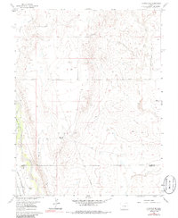
1961 Map of Fountain SE
USGS Topo · Published 1986About this map
The Colorado High Plains south of Colorado Springs are defined here by a network of ranching homesteads and vital water infrastructure as they appeared in the early 1960s. Family-named outposts like Hammer Ranch, Williams Ranch, and Paige Ranch dot the landscape, illustrating the spatial distribution of the region's agricultural heritage. The southern portion of the map is bisected by the El Paso Co Pueblo Co boundary, marking a transition between these two prominent Front Range counties.
Find a feature on this map
16 named features on this map. Tap any name to fly to it.
Don’t see what you’re looking for? This feature index may not catch every label — zoom into the map to look around manually.
Map Details
Editions of this 1961 Fountain SE Map
4 editions found
Other maps of this area

1891 · Pueblo
USGS Topo · 1:125,000

1891 · Nepesta
USGS Topo · 1:125,000

1893 · Nepesta
USGS Topo · 1:125,000

1893 · Big Springs
USGS Topo · 1:125,000

1893 · Colorado Springs
USGS Topo · 1:125,000

1894 · Pueblo
USGS Topo · 1:125,000

1896 · Pueblo
USGS Topo · 1:125,000

1897 · Pueblo
USGS Topo · 1:125,000

1904 · Nepesta
USGS Topo · 1:125,000

1909 · Colorado Springs
USGS Topo · 1:125,000