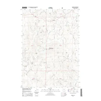
2015 Map of Fourmile
USGS Topo · Published 2015About this map
Fourmile stands at a crossroads in the Black Hills, serving as a focal point for this 2015 survey of Custer County. The settlement is positioned along Highway 16, surrounded by a complex network of forest roads and drainages that characterize the high-altitude terrain. North of the town, the Custer County Airport provides an essential connection for the region, reflecting the modern infrastructure integrated into this rural landscape. The map details the transition between private holdings and federal land, showing the dense topography of ridges and draws that define the area's geography. Researchers can trace the legacy of land use through the township and range lines that segment the territory, illustrating the structured management of this pocket of South Dakota.
Find a feature on this map
2 named features on this map. Tap any name to fly to it.
Don’t see what you’re looking for? This feature index may not catch every label — zoom into the map to look around manually.
Map Details
Editions of this 2015 Fourmile Map
This is the sole edition of this map. No revisions or reprints were ever made.
Other maps of this area

1896 · Harney Peak
USGS Topo · 1:125,000

1901 · Harney Peak
USGS Topo · 1:125,000

1954 · Fourmile
USGS Topo · 1:24,000

1954 · Custer
USGS Topo · 1:24,000

1954 · Berne
USGS Topo · 1:24,000

1954 · Jewel Cave SE
USGS Topo · 1:24,000

1955 · Jewel Cave
USGS Topo · 1:24,000
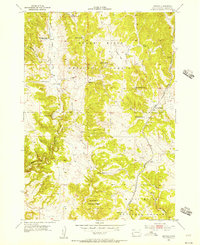
1955 · Argyle
USGS Topo · 1:24,000

1955 · Signal Hill
USGS Topo · 1:24,000
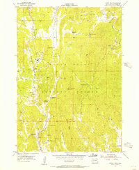
1955 · Cicero Peak
USGS Topo · 1:24,000