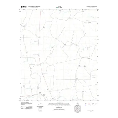
2010 Map of Fourmile Hill
USGS Topo · Published 2010About this map
6666 Ranch Airport serves as a prominent landmark in this stretch of King County, where the ranching heritage of West Texas is written into the names of the landscape. The terrain is defined by the drainage networks of the South Wichita River and the Middle Fork Wichita River, with Fourmile Hill rising as a distinct topographic feature near Willow Creek. The map reveals a highly specialized infrastructure of named windmills, such as Red Town Windmill, Ohio Windmill, and Big Town Windmill, which illustrate the critical importance of water management in this arid grazing country. These features, along with localized identifiers like West Horse Pasture Windmill, provide specific geographical touchpoints for understanding land use and property divisions within the legendary Four Sixes Ranch holdings at the start of the 21st century.
Find a feature on this map
29 named features on this map. Tap any name to fly to it.
Don’t see what you’re looking for? This feature index may not catch every label — zoom into the map to look around manually.
Map Details
Editions of this 2010 Fourmile Hill Map
This is the sole edition of this map. No revisions or reprints were ever made.
Other maps of this area

1954 · Lubbock
USGS Topo · 1:250,000

1966 · Chalk SW
USGS Topo · 1:24,000

1966 · J Y Ranch
USGS Topo · 1:24,000

1967 · Guthrie NW
USGS Topo · 1:24,000

1967 · Dark Canyon
USGS Topo · 1:24,000

1967 · Fourmile Hill
USGS Topo · 1:24,000

1968 · Grow
USGS Topo · 1:24,000

1968 · Buffalo Creek
USGS Topo · 1:24,000

1968 · Guthrie
USGS Topo · 1:24,000

1968 · Pitchfork Flats
USGS Topo · 1:24,000