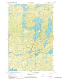
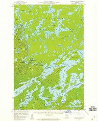
1963 Map of Fourtown Lake
USGS Topo · Published 1984About this map
Superior National Forest defines this lake-land geography in northern Minnesota, where a complex network of glacial water bodies is divided by the St Louis Co Lake Co line. The terrain is characterized by large, interconnected waters such as Fourtown Lake and Horse Lake, interspersed with smaller basins like Fairy Lake and No-see-um Lake. The presence of several Campsite labels and the isolated Jeep Trail near the southern boundary suggests a landscape primary used for recreation and timber management in the early 1960s. To the southeast, the expansive Basswood Lake opens into Jackfish Bay, fed by the winding Spawn Creek. These waterways, including the narrow corridor of Mudro Lake and Sandpit Lake, provide a detailed record of the portage routes and natural drainage patterns that have historically shaped navigation through this wilderness area.
Find a feature on this map
30 named features on this map. Tap any name to fly to it.
Don’t see what you’re looking for? This feature index may not catch every label — zoom into the map to look around manually.
Map Details
Editions of this 1963 Fourtown Lake Map
4 editions found
Other maps of this area

1933 · Ely
USGS Topo · 1:62,500

1939 · Ely
USGS Topo · 1:62,500

1954 · Two Harbors
USGS Topo · 1:250,000

1957 · Two Harbors
USGS Topo · 1:250,000
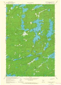
1957 · Gabbro Lake
USGS Topo · 1:62,500
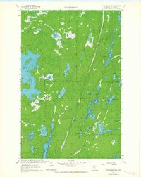
1957 · Basswood Lake
USGS Topo · 1:62,500
1957 · Quetico
USGS Topo · 1:250,000

1958 · Two Harbors
USGS Topo · 1:250,000
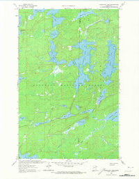
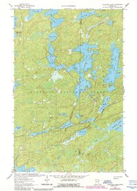
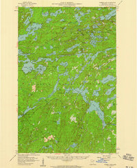
1963 · Fourtown Lake
USGS Topo · 1:24,000
1963 · Angleworm Lake
USGS Topo · 1:24,000