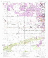
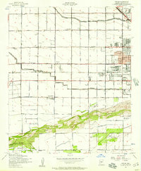
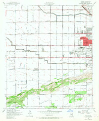
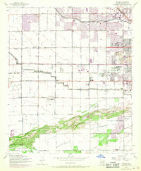
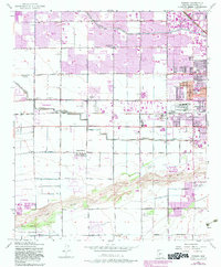
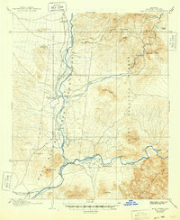
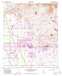
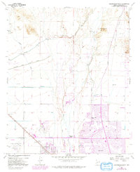
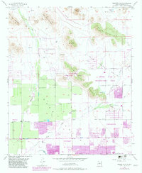
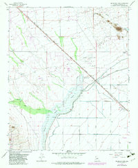
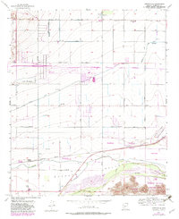
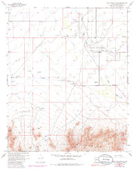
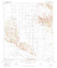
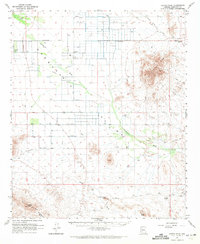
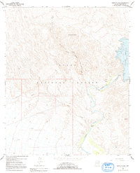
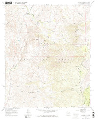
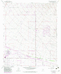
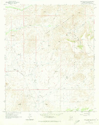
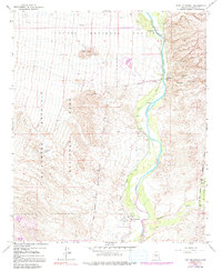
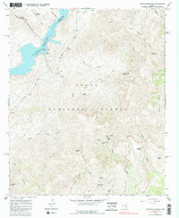
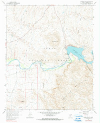
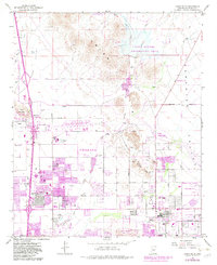
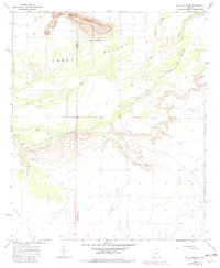
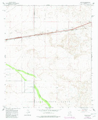
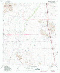
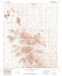
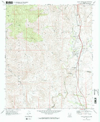
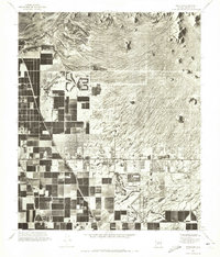
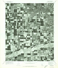
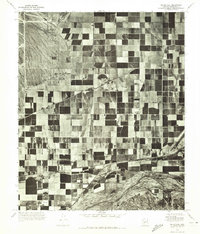
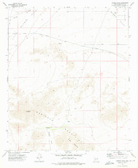
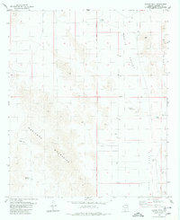
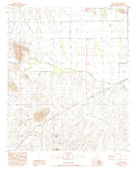
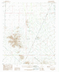
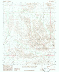
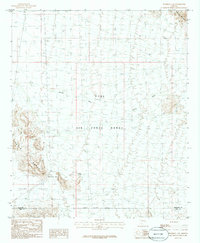
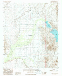
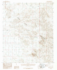
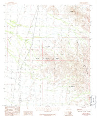
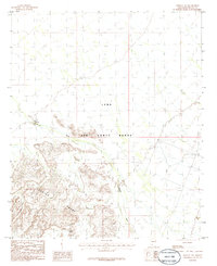
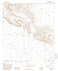
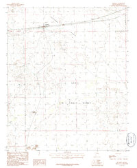
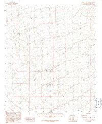
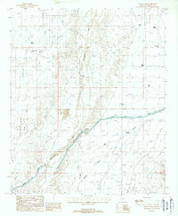
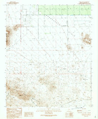
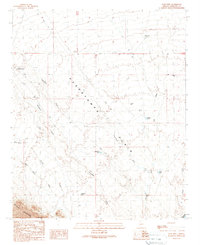
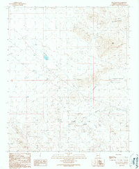
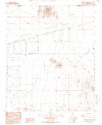
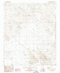
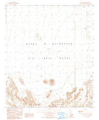
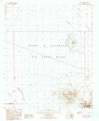
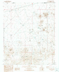
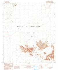
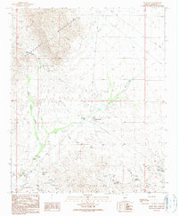
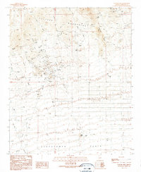
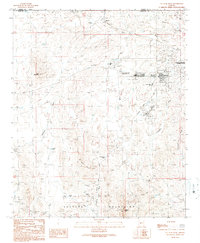
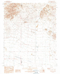
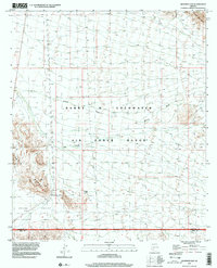
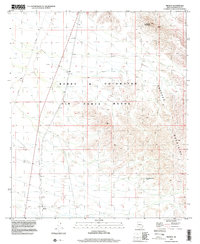
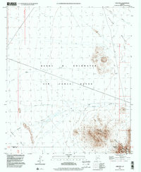
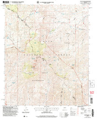
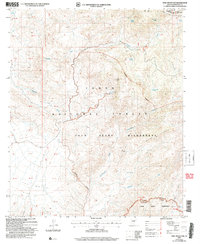
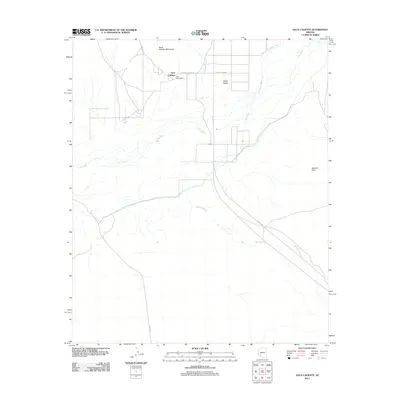
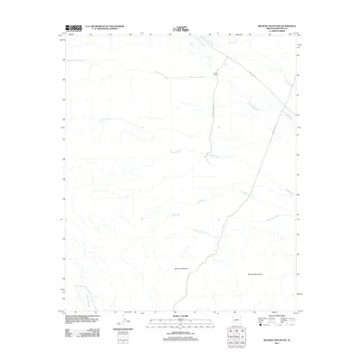
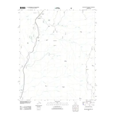
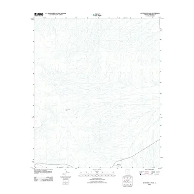
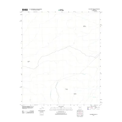
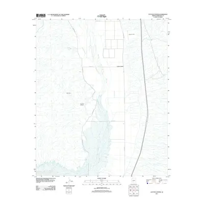
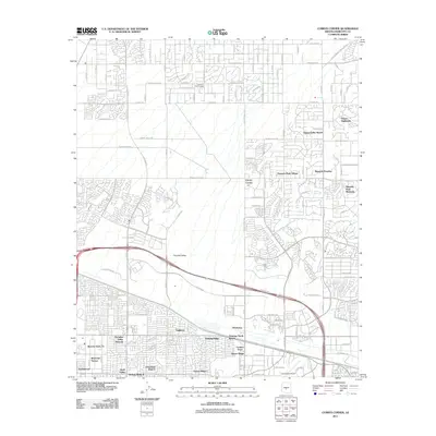
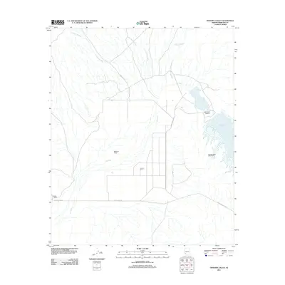
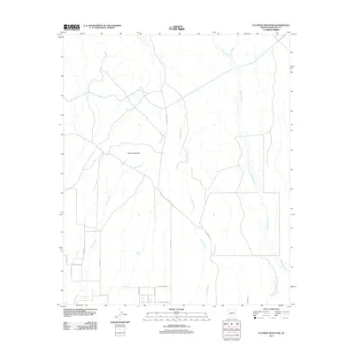
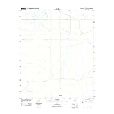
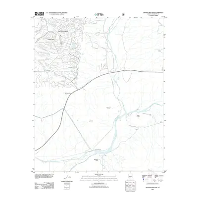
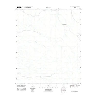
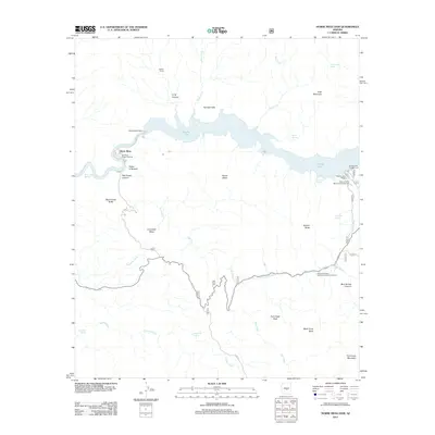
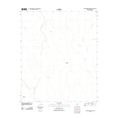
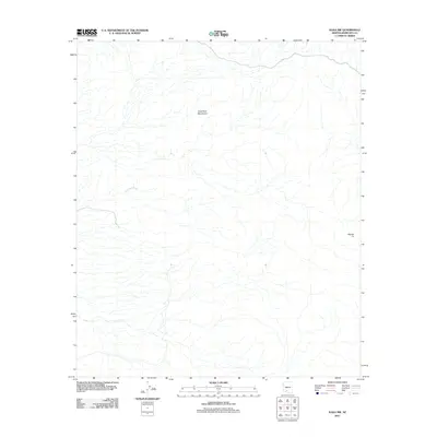
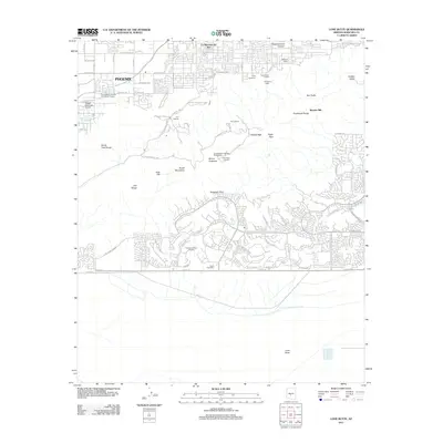
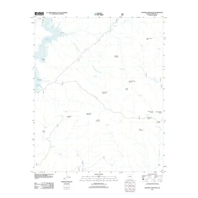
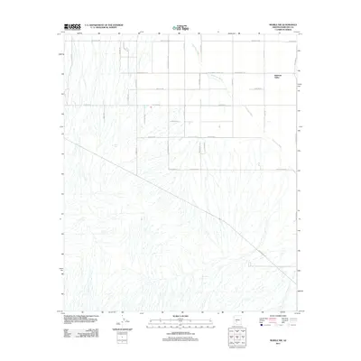
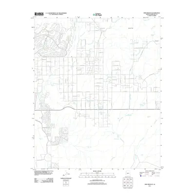
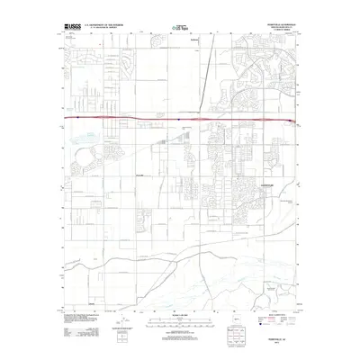
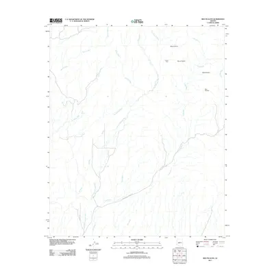
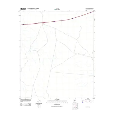
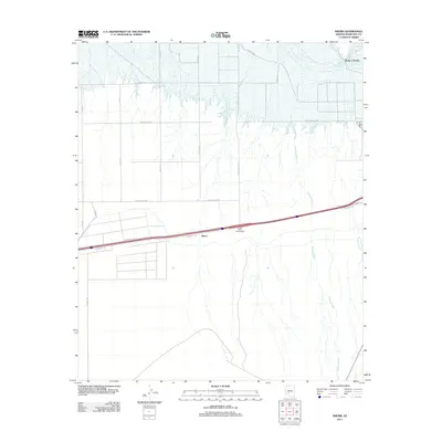
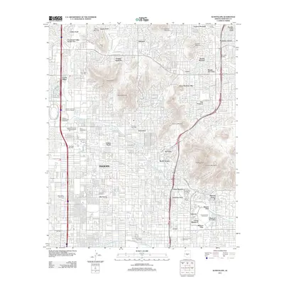
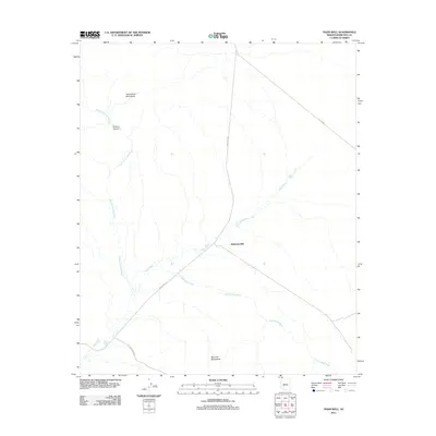
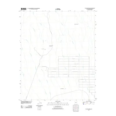
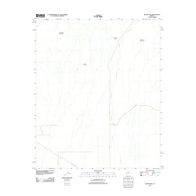
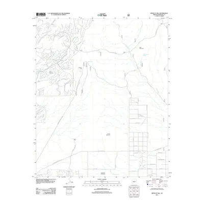
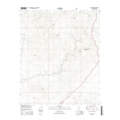
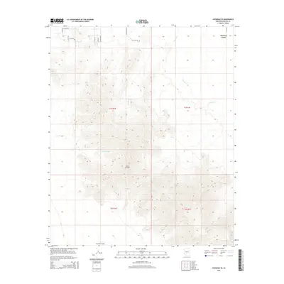
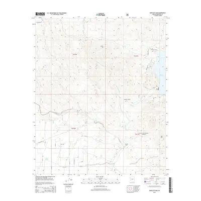
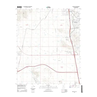
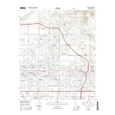
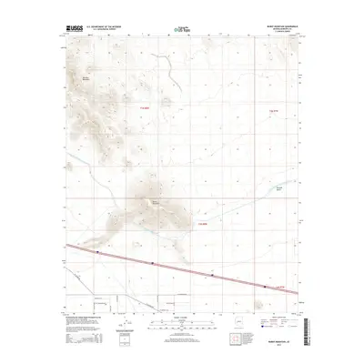
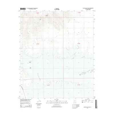
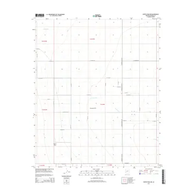
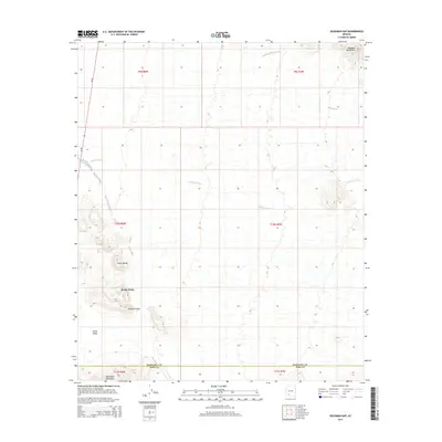
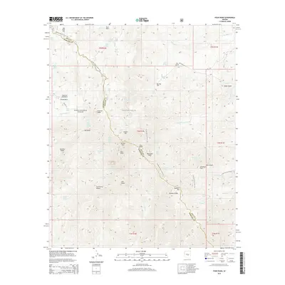
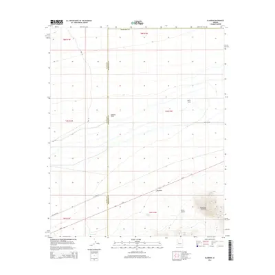
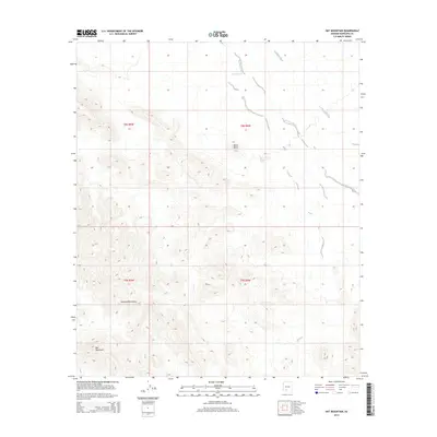
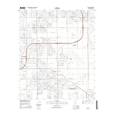
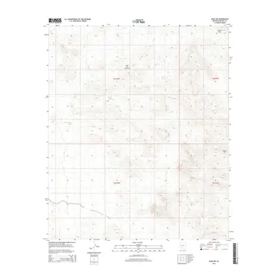
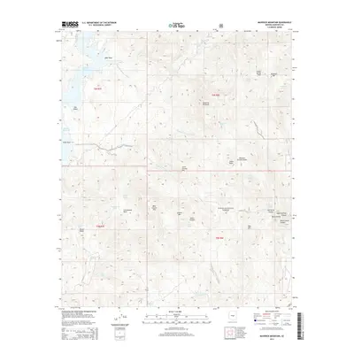
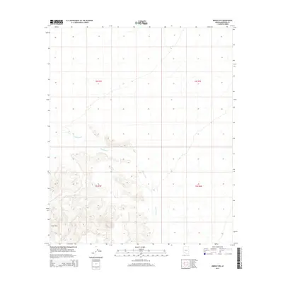
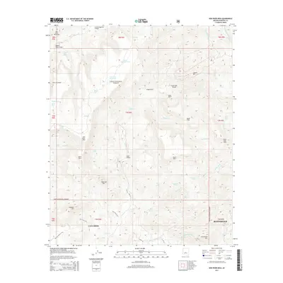
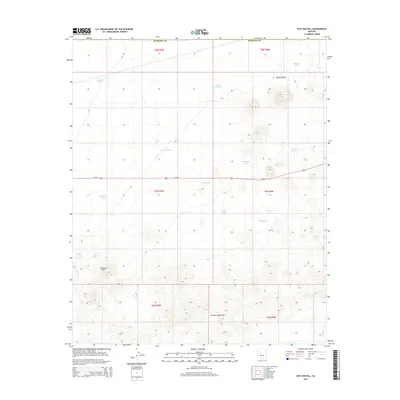
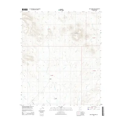
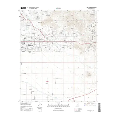
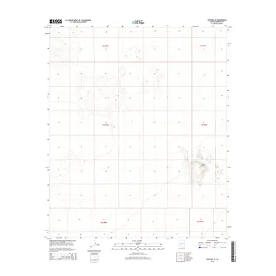
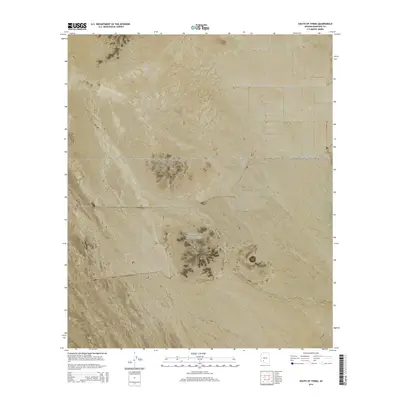
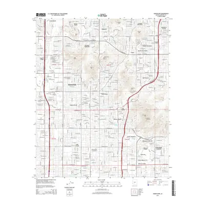
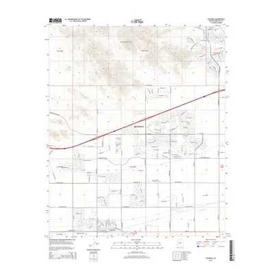
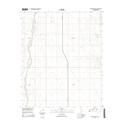
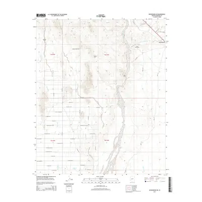
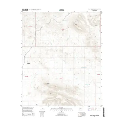
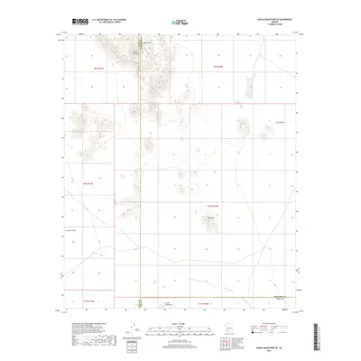
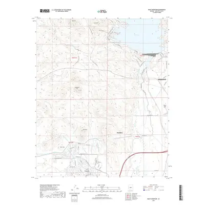
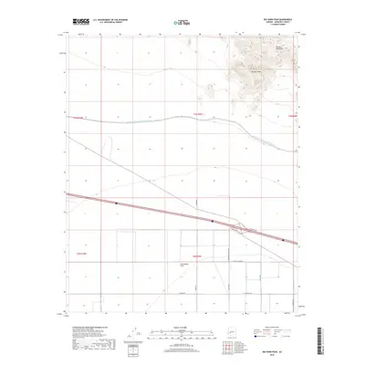
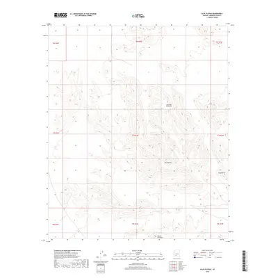
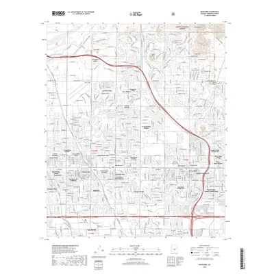
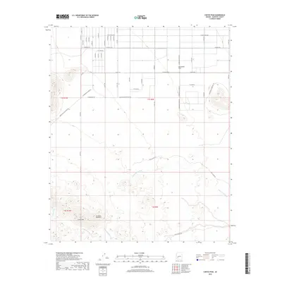
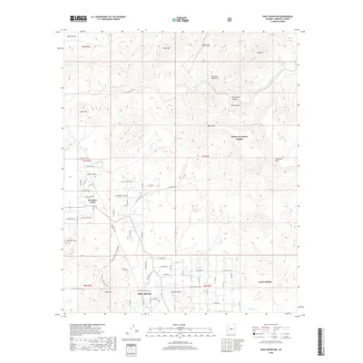
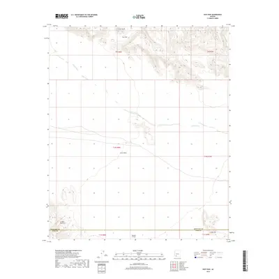
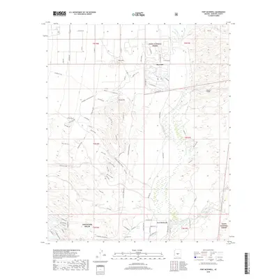
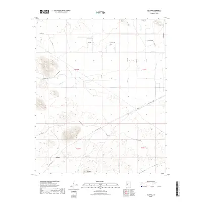
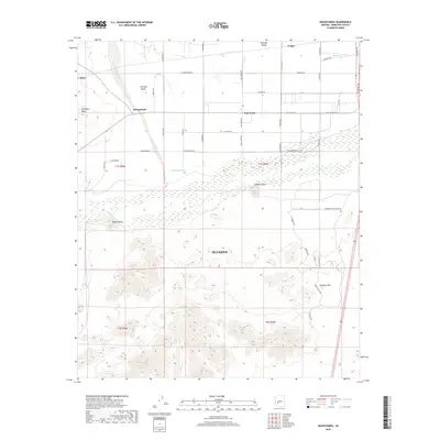
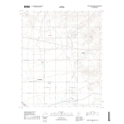
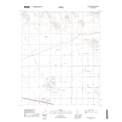
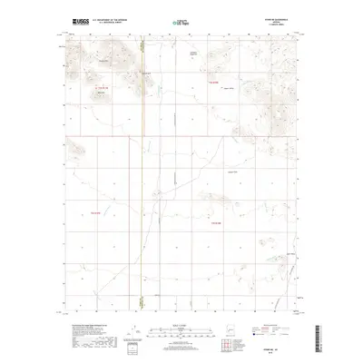
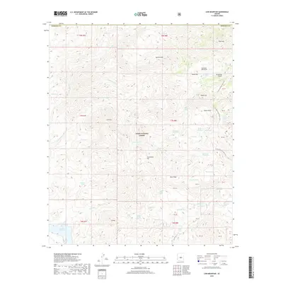
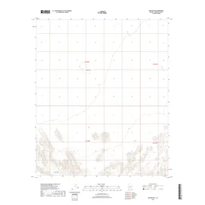
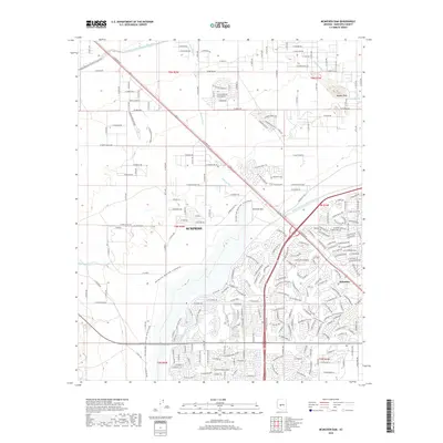
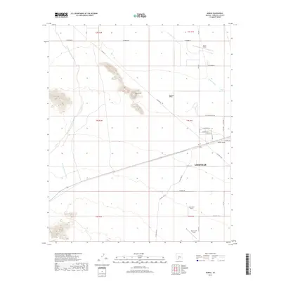
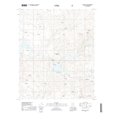
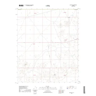
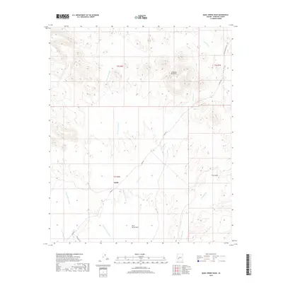
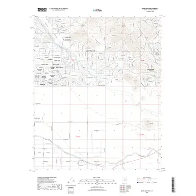
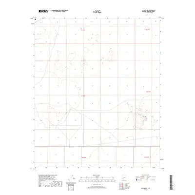
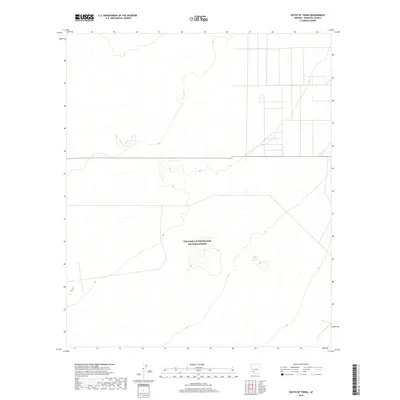
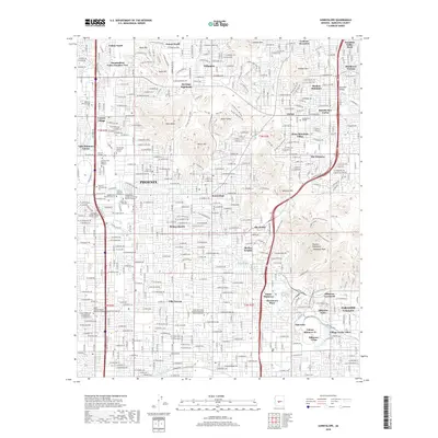
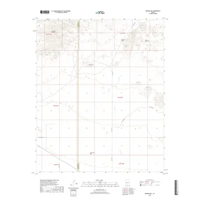
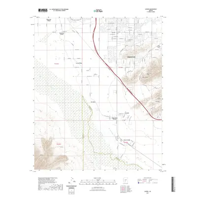
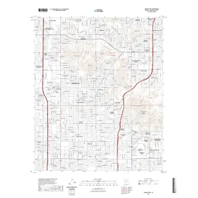
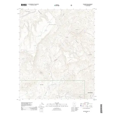
1952 Map of Fowler
USGS Topo · Published 1975About this map
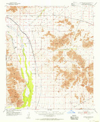
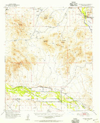
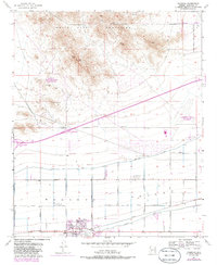
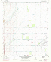
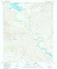
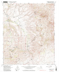
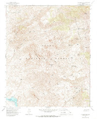
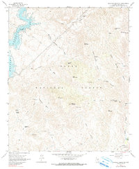
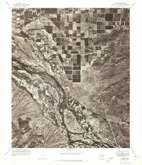
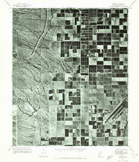
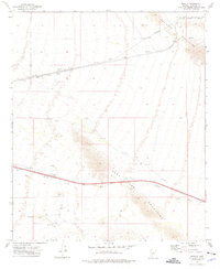
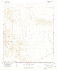
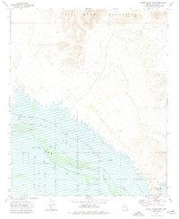
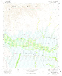
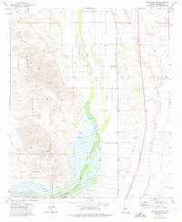
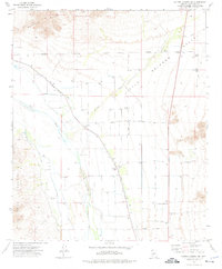
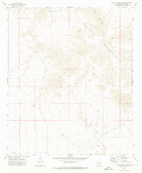
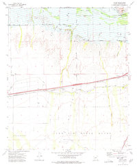
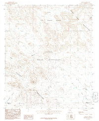
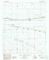
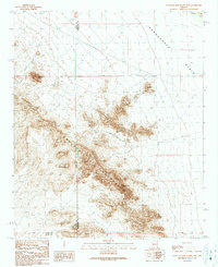
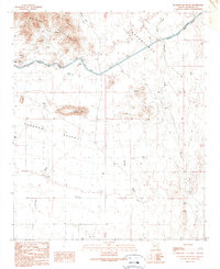
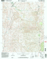
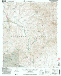
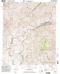
Agricultural lands and industrial sites west of Phoenix are documented in this mid-century survey, with revisions from the late 1960s and early 1970s. The landscape is defined by the convergence of the Salt River and Gila River near the Gila and Salt River Base Line. A network of irrigation canals, including the Grand Canal and Roosevelt Canal, supports the surrounding fields while new residential tracts expand around Alhambra and Fowler. Institutional and industrial growth is evident through the presence of the Aluminum Plant and the County Juvenile Home. Local education is anchored by numerous neighborhood campuses such as Isaac Sch, Coe Sch, and Murphy Sch No 2. This era marks a period of significant urban transformation as the city footprint pushes into formerly rural spaces.
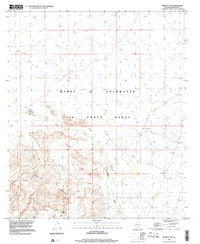
Find a feature on this map
43 named features on this map. Tap any name to fly to it.
Don’t see what you’re looking for? This feature index may not catch every label — zoom into the map to look around manually.
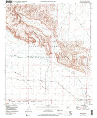
Map Details
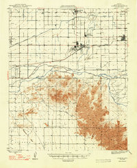
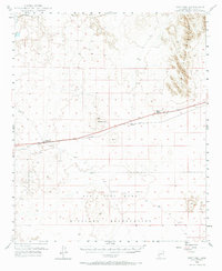
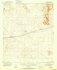
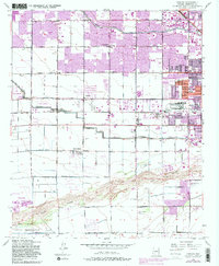
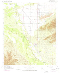
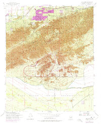
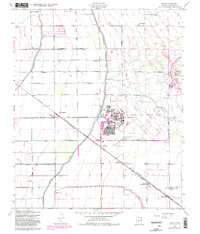
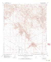
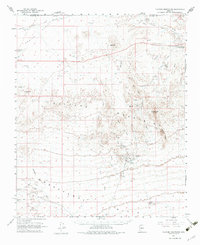
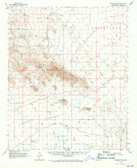
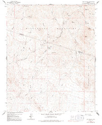
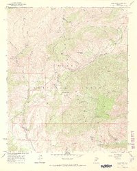
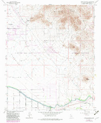
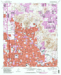
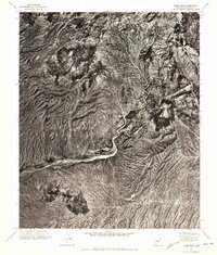
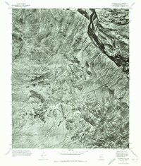
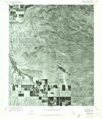
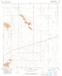
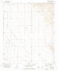
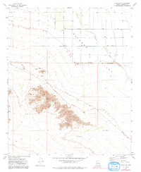
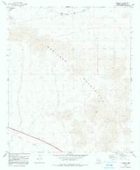
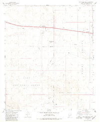
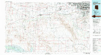
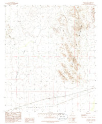
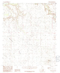
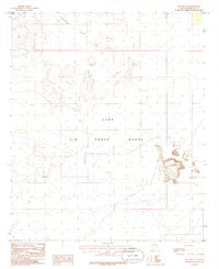
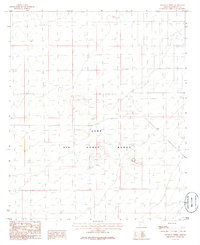
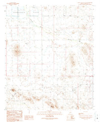
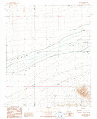
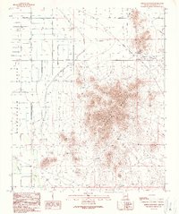
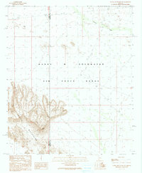
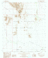
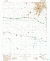
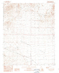
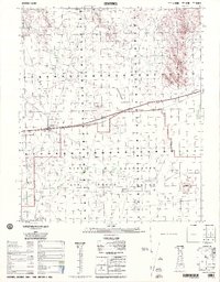
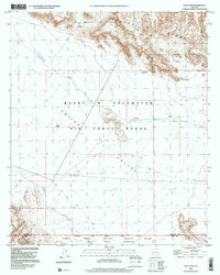
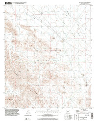
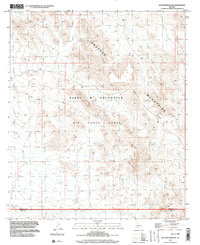
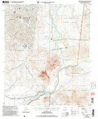
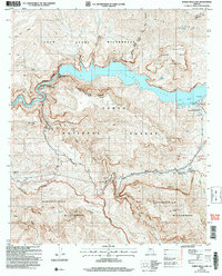
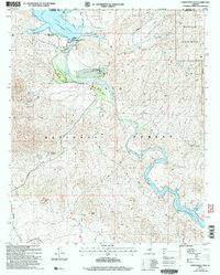
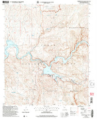
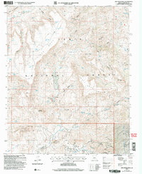
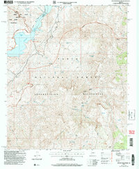
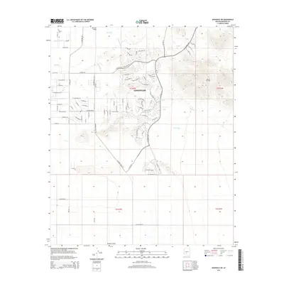
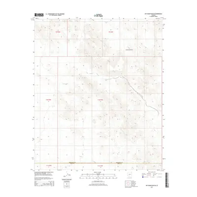
Editions of this 1952 Fowler Map
6 editions found
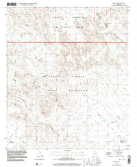
Historical Maps of Phoenix Through Time
718 maps found

1904 Camelback
Maricopa County, AZ

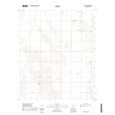
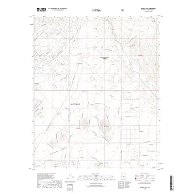
1904 Desert Well
Maricopa County, AZ
1904 Ft. McDowell
Maricopa County, AZ
1906 Camelback
Maricopa County, AZ
1906 Desert Well
Maricopa County, AZ
1906 Ft. McDowell
Maricopa County, AZ
1948 Cashion
Maricopa County, AZ
1949 Sentinel
Maricopa County, AZ
1950 Sentinel
Maricopa County, AZ
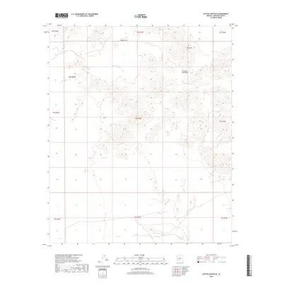
1951 Cotton Center
Maricopa County, AZ
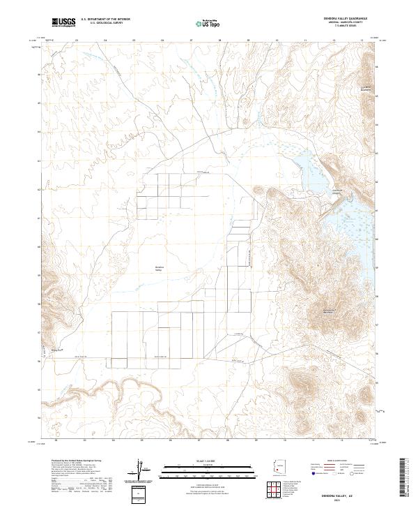
1951 Dendora Valley
Maricopa County, AZ
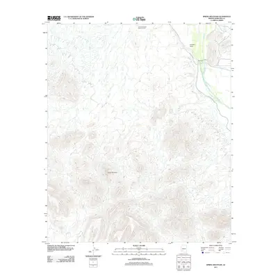
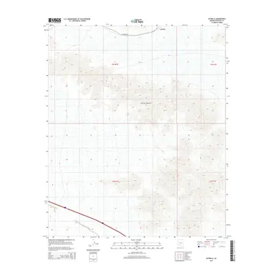
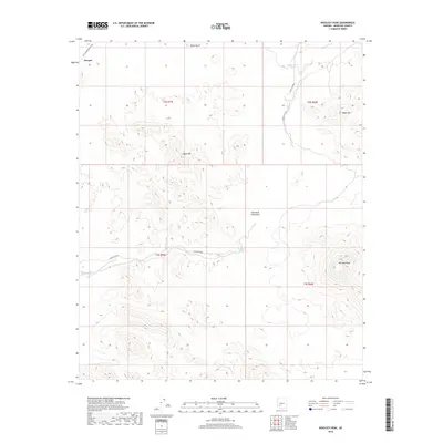
1951 Estrella
Maricopa County, AZ
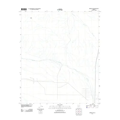
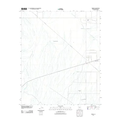
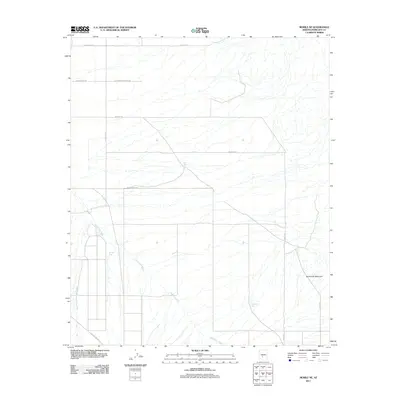
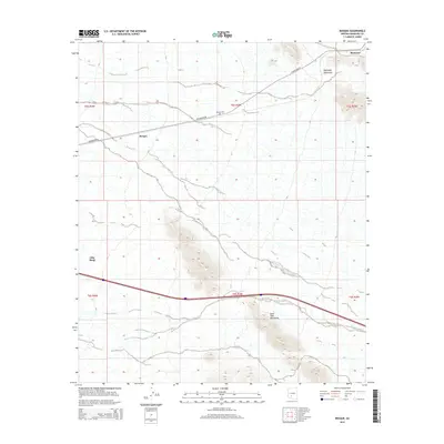
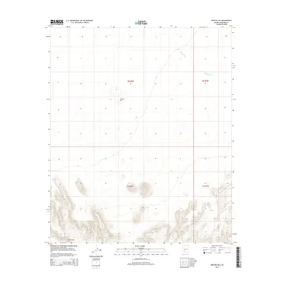
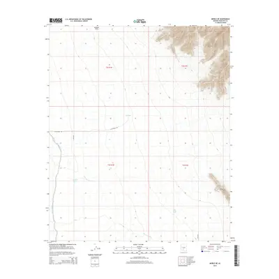
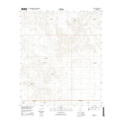
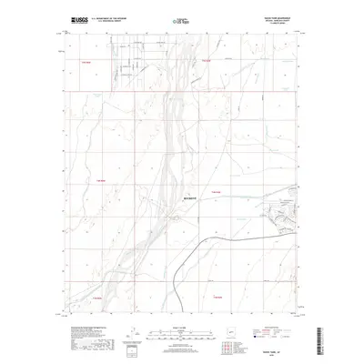
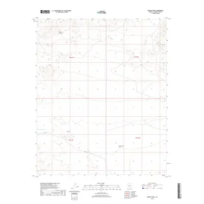
1951 Mobile
Maricopa County, AZ
1951 Woolsey Peak
Maricopa County, AZ
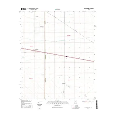
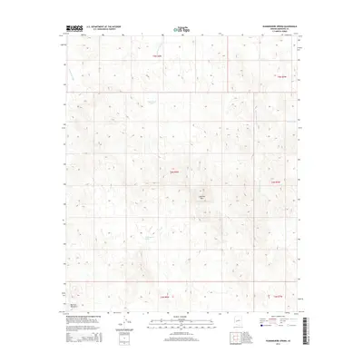
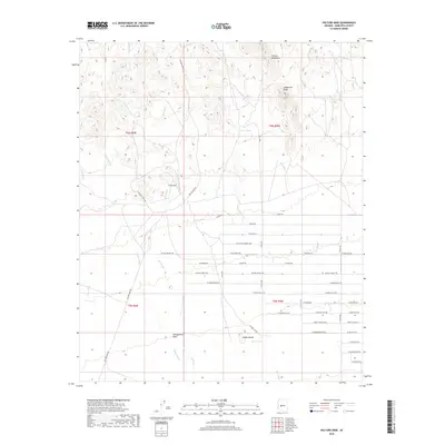
1952 Fowler
Maricopa County, AZ
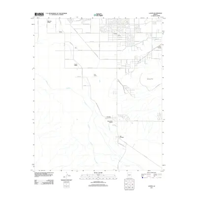
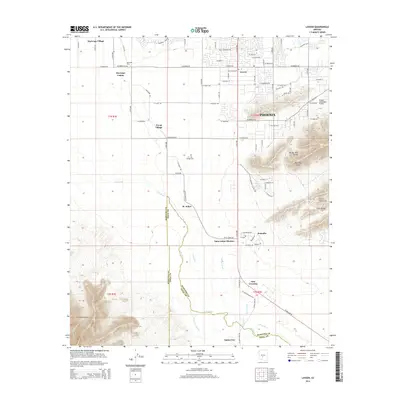
1952 Laveen
Maricopa County, AZ
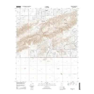
1952 Lone Butte
Maricopa County, AZ
1956 Buckhorn
Maricopa County, AZ
1956 Higley
Maricopa County, AZ
1957 Avondale SE
Maricopa County, AZ
1957 Avondale SW
Maricopa County, AZ
1957 Calderwood Butte
Maricopa County, AZ
1957 Hedgpeth Hills
Maricopa County, AZ
1957 McMicken Dam
Maricopa County, AZ
1957 Perryville
Maricopa County, AZ
1957 Valencia
Maricopa County, AZ
1957 Waddell
Maricopa County, AZ
1957 White Tank Mts.
Maricopa County, AZ
1957 White Tank Mts
Maricopa County, AZ
1957 White Tank Mts NE
Maricopa County, AZ
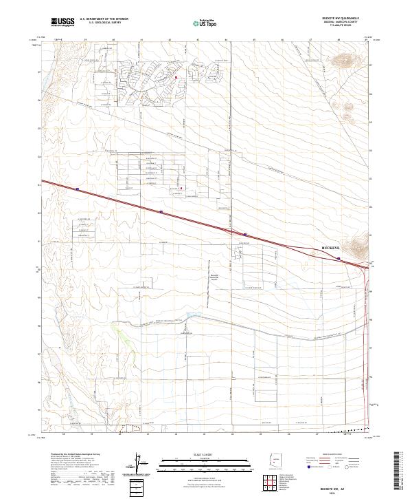
1958 Buckeye NW
Maricopa County, AZ
1958 Hassayampa
Maricopa County, AZ
1958 Hat Mountain
Maricopa County, AZ
1958 Midway
Maricopa County, AZ
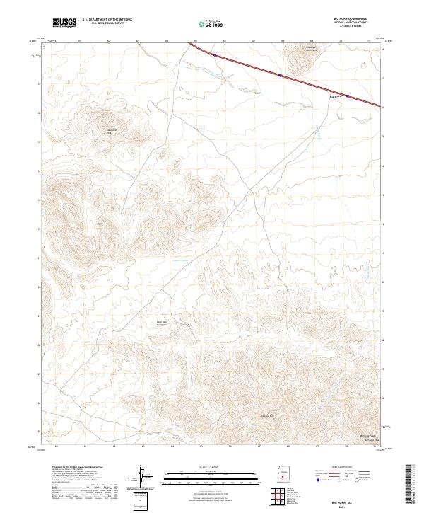
1961 Big Horn Mts
Maricopa County, AZ
1961 Vulture Mountains
Maricopa County, AZ
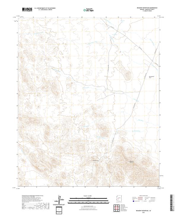
1962 Belmont Mts
Maricopa County, AZ
1962 Cortez Peak
Maricopa County, AZ
1963 Mine Mountain
Maricopa County, AZ
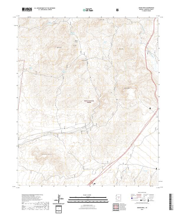
1964 Adams Mesa
Maricopa County, AZ
1964 Baldy Mtn
Maricopa County, AZ
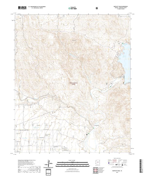
1964 Bartlett Dam
Maricopa County, AZ
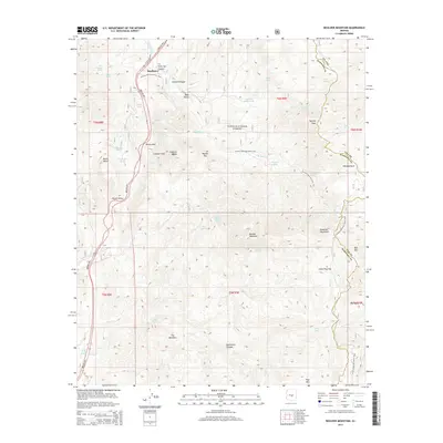
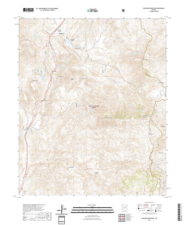
1964 Boulder Mtn
Maricopa County, AZ
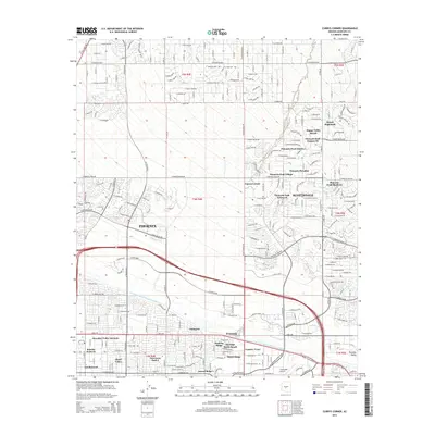
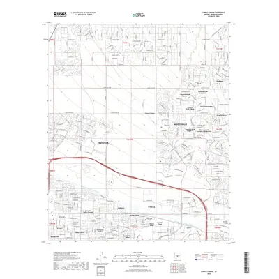
1964 Currys Corner
Maricopa County, AZ
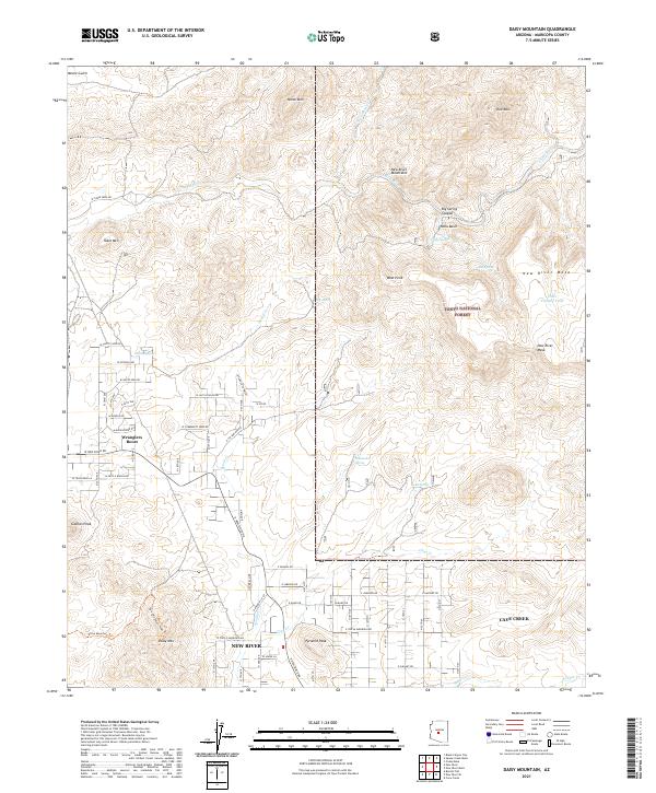
1964 Daisy Mountain
Maricopa County, AZ
1964 Fort McDowell
Maricopa County, AZ
1964 Four Peaks
Maricopa County, AZ
1964 Granite Reef Dam
Maricopa County, AZ
1964 Horse Mesa Dam
Maricopa County, AZ
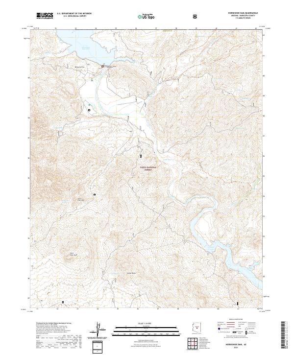
1964 Horseshoe Dam
Maricopa County, AZ
1964 Humboldt Mtn.
Maricopa County, AZ
1964 Hyder NE
Maricopa County, AZ
1964 Lion Mountain
Maricopa County, AZ
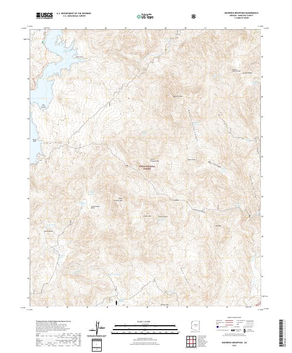
1964 Maverick Mountain
Maricopa County, AZ
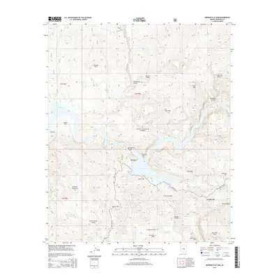
1964 Mormon Flat Dam
Maricopa County, AZ
1964 New River Mesa
Maricopa County, AZ
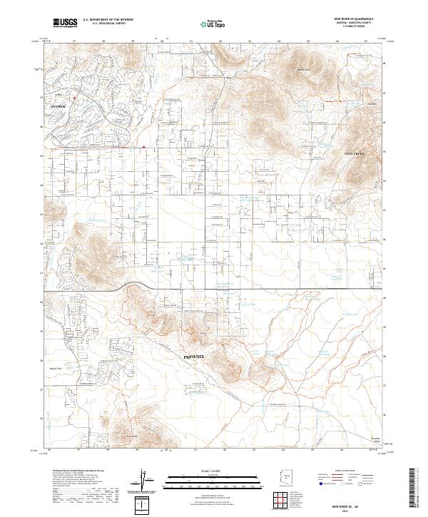
1964 New River SE
Maricopa County, AZ
1964 Pinyon Mountain
Maricopa County, AZ
1964 Red Picacho
Maricopa County, AZ
1964 Reno Pass
Maricopa County, AZ
1964 Sawik Mountain
Maricopa County, AZ
1964 Stewart Mtn.
Maricopa County, AZ
1964 Union Hills
Maricopa County, AZ
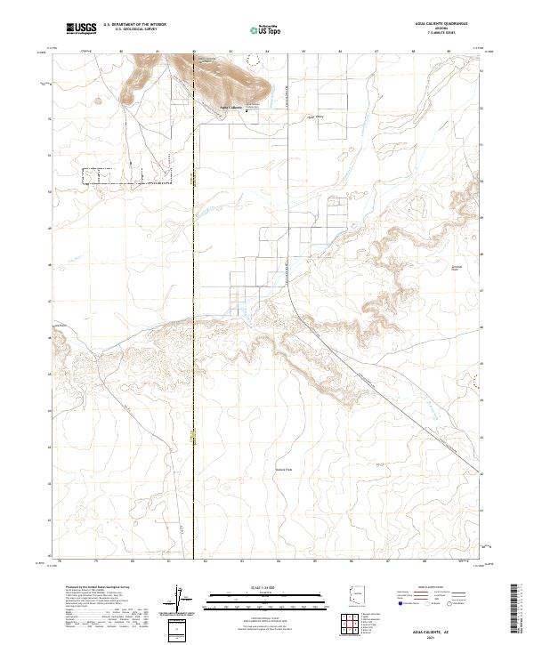
1965 Agua Caliente
Maricopa County, AZ
1965 Aztec SE
Maricopa County, AZ
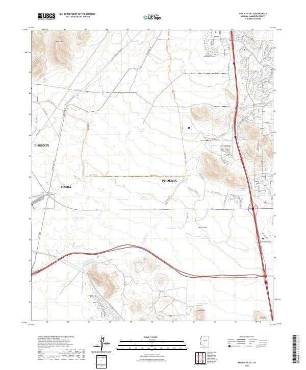
1965 Biscuit Flat
Maricopa County, AZ
1965 Childs Valley
Maricopa County, AZ
1965 Hieroglyphic Mts SW
Maricopa County, AZ
1965 Hyder SE
Maricopa County, AZ
1965 McDowell Peak
Maricopa County, AZ
1965 Sunnyslope
Maricopa County, AZ
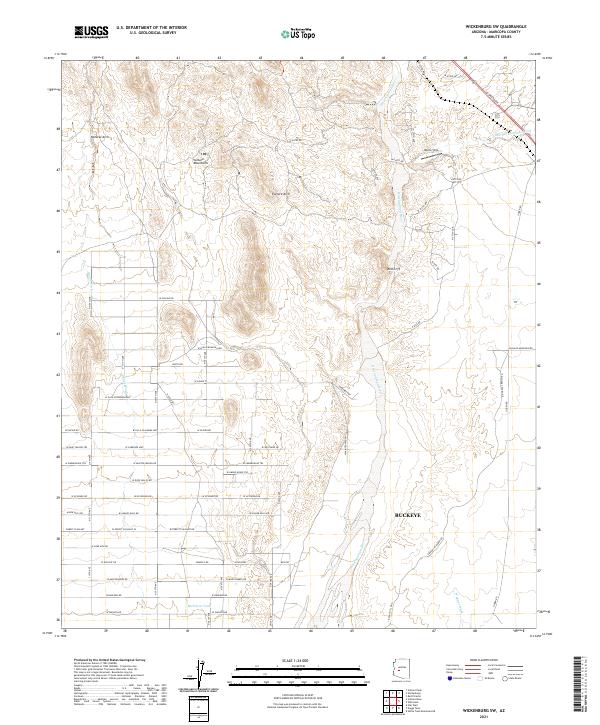
1965 Wickenburg SW
Maricopa County, AZ
1965 Wildcat Hill
Maricopa County, AZ
1969 Black Butte
Maricopa County, AZ
1971 Adams Mesa
Maricopa County, AZ
1971 Avondale SE
Maricopa County, AZ
1971 Avondale SW
Maricopa County, AZ
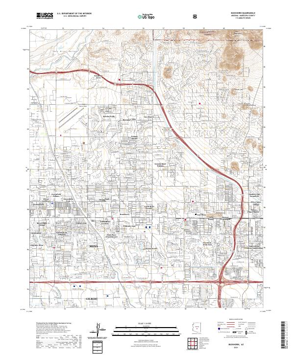
1971 Buckhorn
Maricopa County, AZ
1971 Calderwood Butte
Maricopa County, AZ
1971 Currys Corner
Maricopa County, AZ
1971 Fort McDowell
Maricopa County, AZ
1971 Fowler
Maricopa County, AZ
1971 Granite Reef Dam
Maricopa County, AZ
1971 Hedgpeth Hills
Maricopa County, AZ
1971 Higley
Maricopa County, AZ
1971 Laveen
Maricopa County, AZ
1971 Lone Butte
Maricopa County, AZ
1971 McDowell Peak
Maricopa County, AZ
1971 McMicken Dam
Maricopa County, AZ
1971 Perryville
Maricopa County, AZ

1971 Sawik Mountain
Maricopa County, AZ
1971 Stewart Mtn.
Maricopa County, AZ
1971 Sunnyslope
Maricopa County, AZ
1971 Union Hills
Maricopa County, AZ
1971 Waddell
Maricopa County, AZ
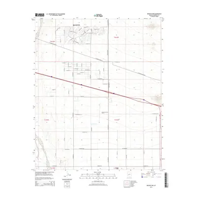
1973 Bosque
Maricopa County, AZ
1973 Butterfield Pass
Maricopa County, AZ
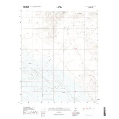
1973 Citrus Valley East
Maricopa County, AZ
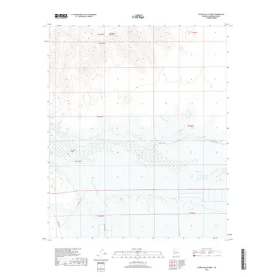
1973 Citrus Valley West
Maricopa County, AZ
1973 Cotton Center
Maricopa County, AZ
1973 Cotton Center NW
Maricopa County, AZ
1973 Cotton Center SE
Maricopa County, AZ
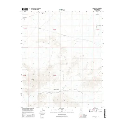
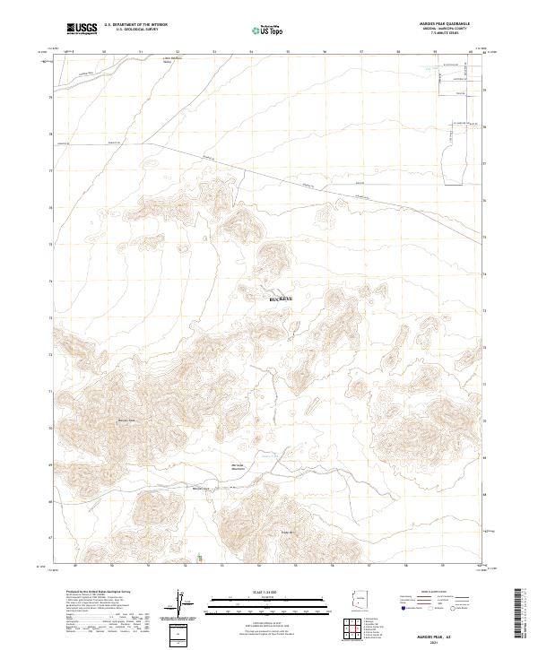
1973 Margies Peak
Maricopa County, AZ
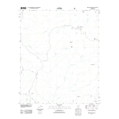
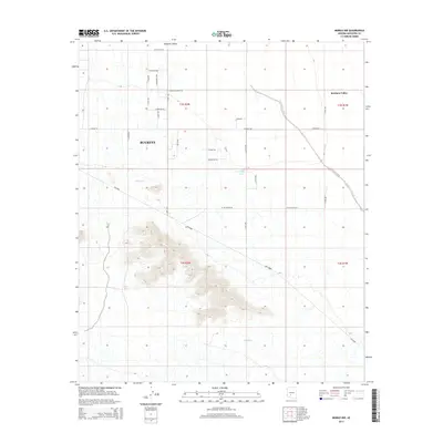
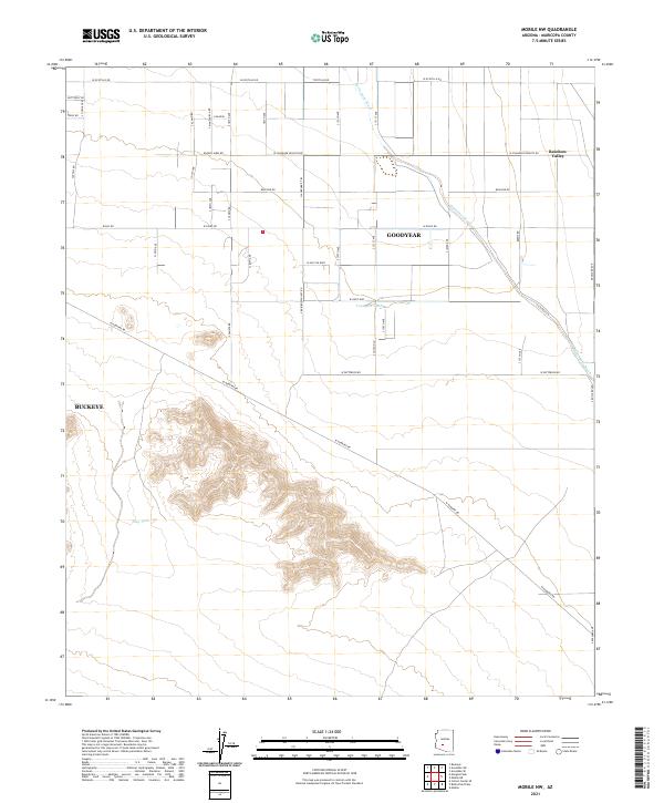
1973 Mobile
Maricopa County, AZ
1973 Mobile NE
Maricopa County, AZ
1973 Mobile NW
Maricopa County, AZ
1973 Smurr
Maricopa County, AZ
1973 Spring Mtn.
Maricopa County, AZ
1973 Woolsey Peak
Maricopa County, AZ
1979 Big Horn
Maricopa County, AZ
1979 Conley Well
Maricopa County, AZ
1979 Estrella
Maricopa County, AZ
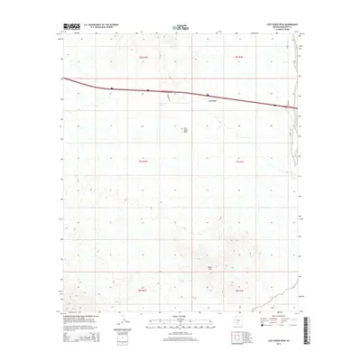
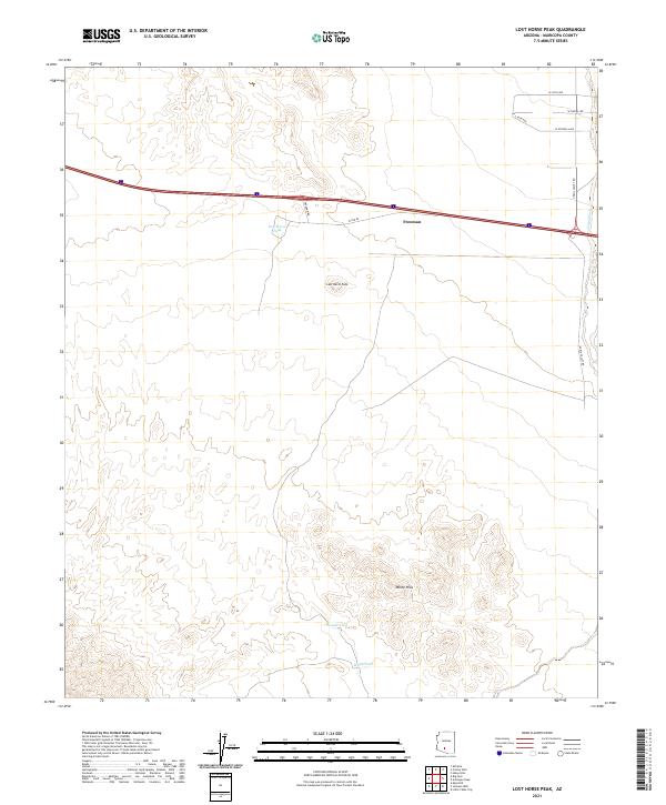
1979 Lost Horse Peak
Maricopa County, AZ
1981 Phoenix South
Maricopa County, AZ
1984 Gillespie
Maricopa County, AZ
1986 Black Gap
Maricopa County, AZ
1986 Blue Plateau
Maricopa County, AZ
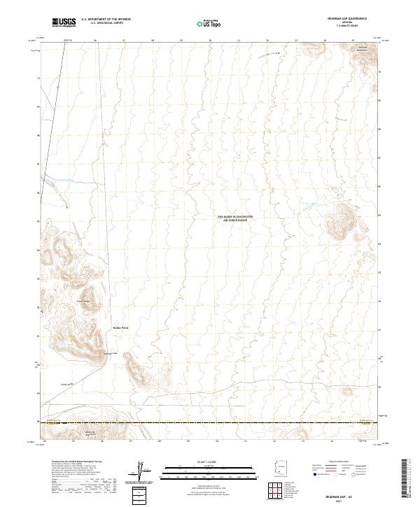
1986 Deadman Gap
Maricopa County, AZ
1986 Dendora Valley
Maricopa County, AZ
1986 Hat Mountain
Maricopa County, AZ
1986 Hat Mountain SW
Maricopa County, AZ
1986 Johnson Well
Maricopa County, AZ
1986 Kaka NW
Maricopa County, AZ
1986 Midway
Maricopa County, AZ
1986 Midway NW
Maricopa County, AZ
1986 Midway SW
Maricopa County, AZ
1986 Moivayi
Maricopa County, AZ
1986 Oatman Mountain
Maricopa County, AZ
1986 Platt Well
Maricopa County, AZ
1986 Quail Spring Wash
Maricopa County, AZ
1986 Sentinel
Maricopa County, AZ
1986 Sentinel NE
Maricopa County, AZ
1986 Sentinel Peak
Maricopa County, AZ
1986 Sentinel SE
Maricopa County, AZ
1986 South of Gila Bend
Maricopa County, AZ
1986 South of Theba
Maricopa County, AZ
1986 Tom Thumb
Maricopa County, AZ
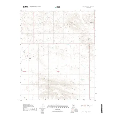
1986 Yellow Medicine Butte
Maricopa County, AZ
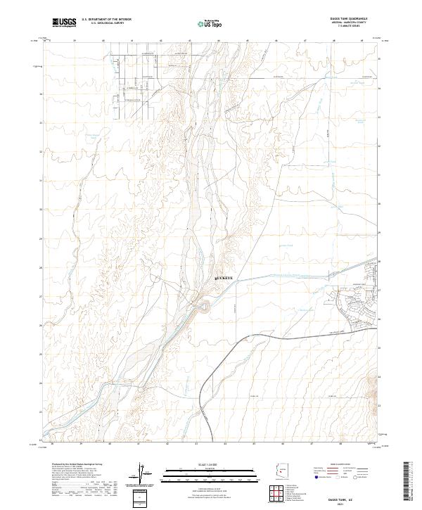
1988 Daggs Tank
Maricopa County, AZ
1988 Phoenix North
Maricopa County, AZ
1988 Wagner Wash Well
Maricopa County, AZ
1989 Belmont Mountain
Maricopa County, AZ
1989 Cortez Peak
Maricopa County, AZ
1989 Fourth of July Butte
Maricopa County, AZ
1989 Gladden
Maricopa County, AZ
1989 Saddle Mountain
Maricopa County, AZ
1989 Star Well
Maricopa County, AZ
1990 Aguila Mountains NE
Maricopa County, AZ
1990 Aguila Mountains SE
Maricopa County, AZ
1990 Big Horn Peak
Maricopa County, AZ
1990 Black Butte
Maricopa County, AZ
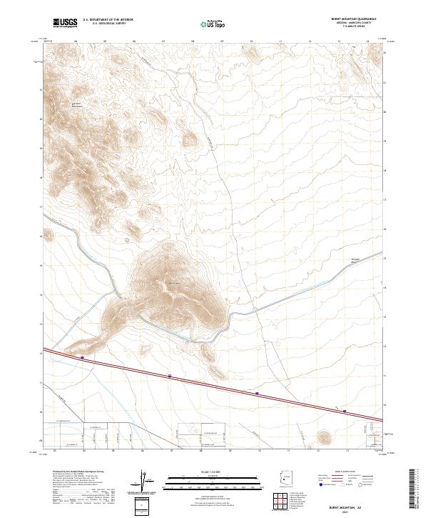
1990 Burnt Mountain
Maricopa County, AZ
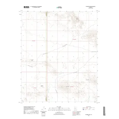
1990 Columbus Peak
Maricopa County, AZ
1990 Cortez Peak NW
Maricopa County, AZ
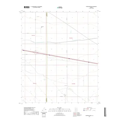
1990 Courthouse Well
Maricopa County, AZ
1990 Eagletail Mountains East
Maricopa County, AZ
1990 East Pass
Maricopa County, AZ
1990 Flatiron Mountain
Maricopa County, AZ
1990 Forepaugh Peak
Maricopa County, AZ
1990 Harquahala Mountain
Maricopa County, AZ
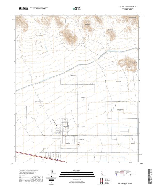
1990 Hot Rock Mountain
Maricopa County, AZ
1990 Hummingbird Spring
Maricopa County, AZ
1990 Little Horn Peak
Maricopa County, AZ
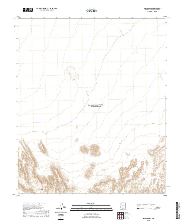
1990 Malpais Hill
Maricopa County, AZ
1990 Okie Well
Maricopa County, AZ
1990 Outlaw Hill
Maricopa County, AZ
1990 South of Sentinel
Maricopa County, AZ
1990 Tiger Well
Maricopa County, AZ
1990 Vulture Mine
Maricopa County, AZ
1990 Vulture Peak
Maricopa County, AZ
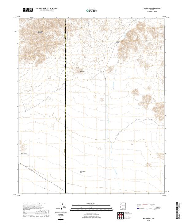
1990 Weldon Hill
Maricopa County, AZ
1990 Wildcat Well
Maricopa County, AZ
1994 Theodore Roosevelt Lake
Maricopa County, AZ
1995 Sentinel
Maricopa County, AZ
1996 Deadman Gap
Maricopa County, AZ
1996 East Pass
Maricopa County, AZ
1996 Hat Mountain
Maricopa County, AZ
1996 Hat Mountain SW
Maricopa County, AZ
1996 Midway
Maricopa County, AZ
1996 Midway NW
Maricopa County, AZ
1996 Midway SW
Maricopa County, AZ
1996 Moivayi
Maricopa County, AZ
1996 Okie Well
Maricopa County, AZ
1996 Tom Thumb
Maricopa County, AZ
2004 Adams Mesa
Maricopa County, AZ
2004 Bartlett Dam
Maricopa County, AZ
2004 Boulder Mountain
Maricopa County, AZ
2004 Buckhorn
Maricopa County, AZ
2004 Daisy Mountain
Maricopa County, AZ
2004 Fort McDowell
Maricopa County, AZ
2004 Four Peaks
Maricopa County, AZ
2004 Granite Reef Dam
Maricopa County, AZ
2004 Horse Mesa Dam
Maricopa County, AZ
2004 Horseshoe Dam
Maricopa County, AZ
2004 Humboldt Mountain
Maricopa County, AZ
2004 Lion Mountain
Maricopa County, AZ
2004 Maverick Mountain
Maricopa County, AZ
2004 McDowell Peak
Maricopa County, AZ
2004 Mine Mountain
Maricopa County, AZ
2004 Mormon Flat Dam
Maricopa County, AZ
2004 New River Mesa
Maricopa County, AZ
2004 Pinyon Mountain
Maricopa County, AZ
2004 Reno Pass
Maricopa County, AZ
2004 Stewart Mountain
Maricopa County, AZ
2004 Wildcat Hill
Maricopa County, AZ
2011 Adams Mesa
Maricopa County, AZ
2011 Agua Caliente
Maricopa County, AZ
2011 Aguila Mountains NE
Maricopa County, AZ
2011 Aguila Mountains SE
Maricopa County, AZ
2011 Avondale SE
Maricopa County, AZ
2011 Avondale SW
Maricopa County, AZ
2011 Aztec SE
Maricopa County, AZ
2011 Baldy Mountain
Maricopa County, AZ
2011 Bartlett Dam
Maricopa County, AZ
2011 Belmont Mountain
Maricopa County, AZ
2011 Big Horn
Maricopa County, AZ
2011 Big Horn Peak
Maricopa County, AZ
2011 Biscuit Flat
Maricopa County, AZ
2011 Black Butte
Maricopa County, AZ
2011 Black Gap
Maricopa County, AZ
2011 Blue Plateau
Maricopa County, AZ
2011 Bosque
Maricopa County, AZ
2011 Boulder Mountain
Maricopa County, AZ
2011 Buckeye NW
Maricopa County, AZ
2011 Buckhorn
Maricopa County, AZ
2011 Burnt Mountain
Maricopa County, AZ
2011 Butterfield Pass
Maricopa County, AZ
2011 Calderwood Butte
Maricopa County, AZ
2011 Citrus Valley East
Maricopa County, AZ
2011 Citrus Valley West
Maricopa County, AZ
2011 Columbus Peak
Maricopa County, AZ
2011 Conley Well
Maricopa County, AZ
2011 Cortez Peak
Maricopa County, AZ
2011 Cortez Peak NW
Maricopa County, AZ
2011 Cotton Center
Maricopa County, AZ
2011 Cotton Center NW
Maricopa County, AZ
2011 Cotton Center SE
Maricopa County, AZ
2011 Courthouse Well
Maricopa County, AZ
2011 Currys Corner
Maricopa County, AZ
2011 Daggs Tank
Maricopa County, AZ
2011 Daisy Mountain
Maricopa County, AZ
2011 Deadman Gap
Maricopa County, AZ
2011 Dendora Valley
Maricopa County, AZ
2011 Eagletail Mountains East
Maricopa County, AZ
2011 East Pass
Maricopa County, AZ
2011 Estrella
Maricopa County, AZ
2011 Flatiron Mountain
Maricopa County, AZ
2011 Forepaugh Peak
Maricopa County, AZ
2011 Fort McDowell
Maricopa County, AZ
2011 Four Peaks
Maricopa County, AZ
2011 Fourth of July Butte
Maricopa County, AZ
2011 Fowler
Maricopa County, AZ
2011 Gillespie
Maricopa County, AZ
2011 Gladden
Maricopa County, AZ
2011 Granite Reef Dam
Maricopa County, AZ
2011 Harquahala Mountain
Maricopa County, AZ
2011 Hassayampa
Maricopa County, AZ
2011 Hat Mountain
Maricopa County, AZ
2011 Hat Mountain SW
Maricopa County, AZ
2011 Hedgpeth Hills
Maricopa County, AZ
2011 Hieroglyphic Mountains SW
Maricopa County, AZ
2011 Higley
Maricopa County, AZ
2011 Horse Mesa Dam
Maricopa County, AZ
2011 Horseshoe Dam
Maricopa County, AZ
2011 Hot Rock Mountain
Maricopa County, AZ
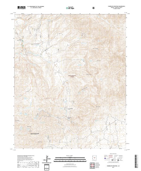
2011 Humboldt Mountain
Maricopa County, AZ
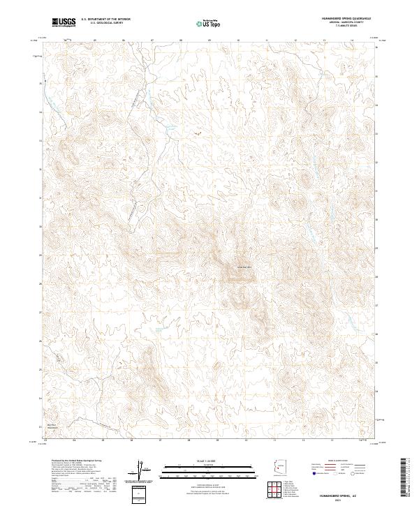
2011 Hummingbird Spring
Maricopa County, AZ
2011 Hyder
Maricopa County, AZ
2011 Hyder NE
Maricopa County, AZ
2011 Johnson Well
Maricopa County, AZ
2011 Kaka NW
Maricopa County, AZ
2011 Laveen
Maricopa County, AZ
2011 Lion Mountain
Maricopa County, AZ
2011 Little Horn Peak
Maricopa County, AZ
2011 Lone Butte
Maricopa County, AZ
2011 Lost Horse Peak
Maricopa County, AZ
2011 Malpais Hill
Maricopa County, AZ
2011 Margies Peak
Maricopa County, AZ
2011 Maverick Mountain
Maricopa County, AZ
2011 McDowell Peak
Maricopa County, AZ
2011 McMicken Dam
Maricopa County, AZ

2011 Midway
Maricopa County, AZ
2011 Midway NW
Maricopa County, AZ
2011 Midway SW
Maricopa County, AZ
2011 Mine Mountain
Maricopa County, AZ
2011 Mobile
Maricopa County, AZ
2011 Mobile NE
Maricopa County, AZ
2011 Mobile NW
Maricopa County, AZ
2011 Moivayi
Maricopa County, AZ
2011 Mormon Flat Dam
Maricopa County, AZ
2011 New River Mesa
Maricopa County, AZ
2011 New River SE
Maricopa County, AZ
2011 Oatman Mountain
Maricopa County, AZ
2011 Okie Well
Maricopa County, AZ
2011 Outlaw Hill
Maricopa County, AZ
2011 Perryville
Maricopa County, AZ
2011 Pinyon Mountain
Maricopa County, AZ
2011 Platt Well
Maricopa County, AZ
2011 Quail Spring Wash
Maricopa County, AZ
2011 Red Picacho
Maricopa County, AZ
2011 Reno Pass
Maricopa County, AZ
2011 Saddle Mountain
Maricopa County, AZ
2011 Sawik Mountain
Maricopa County, AZ
2011 Sentinel
Maricopa County, AZ
2011 Sentinel NE
Maricopa County, AZ
2011 Sentinel Peak
Maricopa County, AZ
2011 Sentinel SE
Maricopa County, AZ
2011 Smurr
Maricopa County, AZ
2011 South of Gila Bend
Maricopa County, AZ
2011 South of Sentinel
Maricopa County, AZ
2011 South of Theba
Maricopa County, AZ
2011 Spring Mountain
Maricopa County, AZ
2011 Star Well
Maricopa County, AZ
2011 Stewart Mountain
Maricopa County, AZ
2011 Sunnyslope
Maricopa County, AZ
2011 Tiger Well
Maricopa County, AZ
2011 Tom Thumb
Maricopa County, AZ
2011 Union Hills
Maricopa County, AZ
2011 Valencia
Maricopa County, AZ
2011 Vulture Mine
Maricopa County, AZ
2011 Vulture Peak
Maricopa County, AZ
2011 Waddell
Maricopa County, AZ
2011 Wagner Wash Well
Maricopa County, AZ
2011 Weldon Hill
Maricopa County, AZ
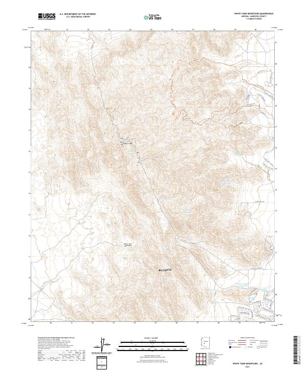
2011 White Tank Mountains
Maricopa County, AZ
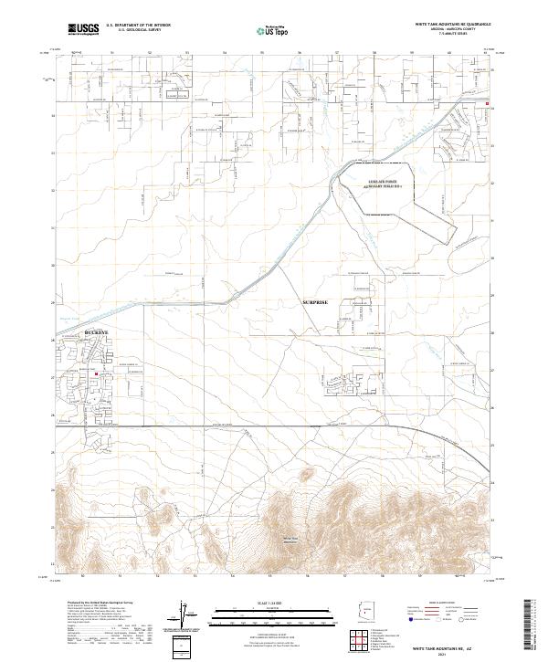
2011 White Tank Mountains NE
Maricopa County, AZ
2011 Wickenburg SW
Maricopa County, AZ
2011 Wildcat Hill
Maricopa County, AZ
2011 Wildcat Well
Maricopa County, AZ
2011 Woolsey Peak
Maricopa County, AZ
2011 Yellow Medicine Butte
Maricopa County, AZ
2014 Adams Mesa
Maricopa County, AZ
2014 Agua Caliente
Maricopa County, AZ
2014 Aguila Mountains NE
Maricopa County, AZ
2014 Aguila Mountains SE
Maricopa County, AZ
2014 Avondale SE
Maricopa County, AZ
2014 Avondale SW
Maricopa County, AZ
2014 Aztec SE
Maricopa County, AZ
2014 Baldy Mountain
Maricopa County, AZ
2014 Bartlett Dam
Maricopa County, AZ
2014 Belmont Mountain
Maricopa County, AZ
2014 Big Horn
Maricopa County, AZ
2014 Big Horn Peak
Maricopa County, AZ
2014 Biscuit Flat
Maricopa County, AZ
2014 Black Butte
Maricopa County, AZ
2014 Black Gap
Maricopa County, AZ
2014 Blue Plateau
Maricopa County, AZ
2014 Bosque
Maricopa County, AZ
2014 Boulder Mountain
Maricopa County, AZ
2014 Buckeye NW
Maricopa County, AZ
2014 Buckhorn
Maricopa County, AZ
2014 Burnt Mountain
Maricopa County, AZ
2014 Butterfield Pass
Maricopa County, AZ
2014 Calderwood Butte
Maricopa County, AZ
2014 Citrus Valley East
Maricopa County, AZ
2014 Citrus Valley West
Maricopa County, AZ
2014 Columbus Peak
Maricopa County, AZ
2014 Conley Well
Maricopa County, AZ
2014 Cortez Peak
Maricopa County, AZ
2014 Cortez Peak NW
Maricopa County, AZ
2014 Cotton Center
Maricopa County, AZ
2014 Cotton Center NW
Maricopa County, AZ
2014 Cotton Center SE
Maricopa County, AZ
2014 Courthouse Well
Maricopa County, AZ
2014 Currys Corner
Maricopa County, AZ
2014 Daggs Tank
Maricopa County, AZ
2014 Daisy Mountain
Maricopa County, AZ
2014 Deadman Gap
Maricopa County, AZ
2014 Dendora Valley
Maricopa County, AZ
2014 Eagletail Mountains East
Maricopa County, AZ
2014 East Pass
Maricopa County, AZ
2014 Estrella
Maricopa County, AZ
2014 Flatiron Mountain
Maricopa County, AZ
2014 Forepaugh Peak
Maricopa County, AZ
2014 Fort McDowell
Maricopa County, AZ
2014 Four Peaks
Maricopa County, AZ
2014 Fourth of July Butte
Maricopa County, AZ
2014 Fowler
Maricopa County, AZ
2014 Gillespie
Maricopa County, AZ
2014 Gladden
Maricopa County, AZ
2014 Granite Reef Dam
Maricopa County, AZ
2014 Harquahala Mountain
Maricopa County, AZ
2014 Hassayampa
Maricopa County, AZ
2014 Hat Mountain
Maricopa County, AZ
2014 Hat Mountain SW
Maricopa County, AZ
2014 Hedgpeth Hills
Maricopa County, AZ
2014 Hieroglyphic Mountains SW
Maricopa County, AZ
2014 Higley
Maricopa County, AZ
2014 Horse Mesa Dam
Maricopa County, AZ
2014 Horseshoe Dam
Maricopa County, AZ
2014 Hot Rock Mountain
Maricopa County, AZ

2014 Humboldt Mountain
Maricopa County, AZ
2014 Hummingbird Spring
Maricopa County, AZ
2014 Hyder
Maricopa County, AZ
2014 Hyder NE
Maricopa County, AZ
2014 Johnson Well
Maricopa County, AZ
2014 Kaka NW
Maricopa County, AZ
2014 Laveen
Maricopa County, AZ
2014 Lion Mountain
Maricopa County, AZ
2014 Little Horn Peak
Maricopa County, AZ
2014 Lone Butte
Maricopa County, AZ
2014 Lost Horse Peak
Maricopa County, AZ
2014 Malpais Hill
Maricopa County, AZ
2014 Margies Peak
Maricopa County, AZ
2014 Maverick Mountain
Maricopa County, AZ
2014 McDowell Peak
Maricopa County, AZ
2014 McMicken Dam
Maricopa County, AZ
2014 Midway
Maricopa County, AZ
2014 Midway NW
Maricopa County, AZ
2014 Midway SW
Maricopa County, AZ
2014 Mine Mountain
Maricopa County, AZ
2014 Mobile
Maricopa County, AZ
2014 Mobile NE
Maricopa County, AZ
2014 Mobile NW
Maricopa County, AZ
2014 Moivayi
Maricopa County, AZ
2014 Mormon Flat Dam
Maricopa County, AZ
2014 New River Mesa
Maricopa County, AZ
2014 New River SE
Maricopa County, AZ
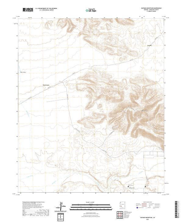
2014 Oatman Mountain
Maricopa County, AZ
2014 Okie Well
Maricopa County, AZ
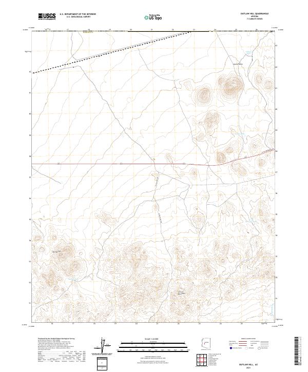
2014 Outlaw Hill
Maricopa County, AZ
2014 Perryville
Maricopa County, AZ
2014 Pinyon Mountain
Maricopa County, AZ
2014 Platt Well
Maricopa County, AZ
2014 Quail Spring Wash
Maricopa County, AZ
2014 Red Picacho
Maricopa County, AZ
2014 Reno Pass
Maricopa County, AZ
2014 Saddle Mountain
Maricopa County, AZ
2014 Sawik Mountain
Maricopa County, AZ
2014 Sentinel
Maricopa County, AZ
2014 Sentinel NE
Maricopa County, AZ
2014 Sentinel Peak
Maricopa County, AZ
2014 Sentinel SE
Maricopa County, AZ
2014 Smurr
Maricopa County, AZ
2014 South of Gila Bend
Maricopa County, AZ
2014 South of Sentinel
Maricopa County, AZ
2014 South of Theba
Maricopa County, AZ
2014 Spring Mountain
Maricopa County, AZ
2014 Star Well
Maricopa County, AZ
2014 Stewart Mountain
Maricopa County, AZ
2014 Sunnyslope
Maricopa County, AZ
2014 Tiger Well
Maricopa County, AZ
2014 Tom Thumb
Maricopa County, AZ
2014 Union Hills
Maricopa County, AZ
2014 Valencia
Maricopa County, AZ
2014 Vulture Mine
Maricopa County, AZ
2014 Vulture Peak
Maricopa County, AZ
2014 Waddell
Maricopa County, AZ
2014 Wagner Wash Well
Maricopa County, AZ
2014 Weldon Hill
Maricopa County, AZ
2014 White Tank Mountains
Maricopa County, AZ
2014 White Tank Mountains NE
Maricopa County, AZ
2014 Wickenburg SW
Maricopa County, AZ
2014 Wildcat Hill
Maricopa County, AZ
2014 Wildcat Well
Maricopa County, AZ
2014 Woolsey Peak
Maricopa County, AZ
2014 Yellow Medicine Butte
Maricopa County, AZ
2018 Adams Mesa
Maricopa County, AZ
2018 Agua Caliente
Maricopa County, AZ
2018 Aguila Mountains NE
Maricopa County, AZ
2018 Aguila Mountains SE
Maricopa County, AZ
2018 Avondale SE
Maricopa County, AZ
2018 Avondale SW
Maricopa County, AZ
2018 Aztec SE
Maricopa County, AZ
2018 Baldy Mountain
Maricopa County, AZ
2018 Bartlett Dam
Maricopa County, AZ
2018 Belmont Mountain
Maricopa County, AZ
2018 Big Horn
Maricopa County, AZ
2018 Big Horn Peak
Maricopa County, AZ
2018 Biscuit Flat
Maricopa County, AZ
2018 Black Butte
Maricopa County, AZ
2018 Black Gap
Maricopa County, AZ
2018 Blue Plateau
Maricopa County, AZ
2018 Bosque
Maricopa County, AZ
2018 Boulder Mountain
Maricopa County, AZ
2018 Buckeye NW
Maricopa County, AZ
2018 Buckhorn
Maricopa County, AZ
2018 Burnt Mountain
Maricopa County, AZ
2018 Butterfield Pass
Maricopa County, AZ
2018 Calderwood Butte
Maricopa County, AZ
2018 Citrus Valley East
Maricopa County, AZ
2018 Citrus Valley West
Maricopa County, AZ
2018 Columbus Peak
Maricopa County, AZ
2018 Conley Well
Maricopa County, AZ
2018 Cortez Peak
Maricopa County, AZ
2018 Cortez Peak NW
Maricopa County, AZ
2018 Cotton Center
Maricopa County, AZ
2018 Cotton Center NW
Maricopa County, AZ
2018 Cotton Center SE
Maricopa County, AZ
2018 Courthouse Well
Maricopa County, AZ
2018 Currys Corner
Maricopa County, AZ
2018 Daggs Tank
Maricopa County, AZ
2018 Daisy Mountain
Maricopa County, AZ
2018 Deadman Gap
Maricopa County, AZ
2018 Dendora Valley
Maricopa County, AZ
2018 Eagletail Mountains East
Maricopa County, AZ
2018 East Pass
Maricopa County, AZ
2018 Estrella
Maricopa County, AZ
2018 Flatiron Mountain
Maricopa County, AZ
2018 Forepaugh Peak
Maricopa County, AZ
2018 Fort McDowell
Maricopa County, AZ
2018 Four Peaks
Maricopa County, AZ
2018 Fourth of July Butte
Maricopa County, AZ
2018 Fowler
Maricopa County, AZ
2018 Gillespie
Maricopa County, AZ
2018 Gladden
Maricopa County, AZ
2018 Granite Reef Dam
Maricopa County, AZ
2018 Harquahala Mountain
Maricopa County, AZ
2018 Hassayampa
Maricopa County, AZ
2018 Hat Mountain
Maricopa County, AZ
2018 Hat Mountain SW
Maricopa County, AZ
2018 Hedgpeth Hills
Maricopa County, AZ
2018 Hieroglyphic Mountains SW
Maricopa County, AZ
2018 Higley
Maricopa County, AZ
2018 Horse Mesa Dam
Maricopa County, AZ
2018 Horseshoe Dam
Maricopa County, AZ
2018 Hot Rock Mountain
Maricopa County, AZ
2018 Humboldt Mountain
Maricopa County, AZ
2018 Hummingbird Spring
Maricopa County, AZ
2018 Hyder
Maricopa County, AZ
2018 Hyder NE
Maricopa County, AZ
2018 Johnson Well
Maricopa County, AZ
2018 Kaka NW
Maricopa County, AZ
2018 Laveen
Maricopa County, AZ
2018 Lion Mountain
Maricopa County, AZ
2018 Little Horn Peak
Maricopa County, AZ
2018 Lone Butte
Maricopa County, AZ
2018 Lost Horse Peak
Maricopa County, AZ
2018 Malpais Hill
Maricopa County, AZ
2018 Margies Peak
Maricopa County, AZ
2018 Maverick Mountain
Maricopa County, AZ
2018 McDowell Peak
Maricopa County, AZ
2018 McMicken Dam
Maricopa County, AZ
2018 Midway
Maricopa County, AZ

2018 Midway NW
Maricopa County, AZ
2018 Midway SW
Maricopa County, AZ
2018 Mine Mountain
Maricopa County, AZ
2018 Mobile
Maricopa County, AZ
2018 Mobile NE
Maricopa County, AZ
2018 Mobile NW
Maricopa County, AZ
2018 Moivayi
Maricopa County, AZ
2018 Mormon Flat Dam
Maricopa County, AZ

2018 New River Mesa
Maricopa County, AZ
2018 New River SE
Maricopa County, AZ
2018 Oatman Mountain
Maricopa County, AZ
2018 Okie Well
Maricopa County, AZ
2018 Outlaw Hill
Maricopa County, AZ
2018 Perryville
Maricopa County, AZ
2018 Pinyon Mountain
Maricopa County, AZ
2018 Platt Well
Maricopa County, AZ
2018 Quail Spring Wash
Maricopa County, AZ
2018 Red Picacho
Maricopa County, AZ
2018 Reno Pass
Maricopa County, AZ
2018 Saddle Mountain
Maricopa County, AZ
2018 Sawik Mountain
Maricopa County, AZ
2018 Sentinel
Maricopa County, AZ
2018 Sentinel NE
Maricopa County, AZ
2018 Sentinel Peak
Maricopa County, AZ
2018 Sentinel SE
Maricopa County, AZ
2018 Smurr
Maricopa County, AZ
2018 South of Gila Bend
Maricopa County, AZ
2018 South of Sentinel
Maricopa County, AZ
2018 South of Theba
Maricopa County, AZ
2018 Spring Mountain
Maricopa County, AZ
2018 Star Well
Maricopa County, AZ
2018 Stewart Mountain
Maricopa County, AZ
2018 Sunnyslope
Maricopa County, AZ
2018 Tiger Well
Maricopa County, AZ
2018 Tom Thumb
Maricopa County, AZ
2018 Union Hills
Maricopa County, AZ

2018 Valencia
Maricopa County, AZ
2018 Vulture Mine
Maricopa County, AZ
2018 Vulture Peak
Maricopa County, AZ
2018 Waddell
Maricopa County, AZ
2018 Wagner Wash Well
Maricopa County, AZ
2018 Weldon Hill
Maricopa County, AZ
2018 White Tank Mountains
Maricopa County, AZ
2018 White Tank Mountains NE
Maricopa County, AZ
2018 Wickenburg SW
Maricopa County, AZ
2018 Wildcat Hill
Maricopa County, AZ
2018 Wildcat Well
Maricopa County, AZ
2018 Woolsey Peak
Maricopa County, AZ
2018 Yellow Medicine Butte
Maricopa County, AZ
2021 Adams Mesa
Maricopa County, AZ
2021 Agua Caliente
Maricopa County, AZ
2021 Aguila Mountains NE
Maricopa County, AZ
2021 Aguila Mountains SE
Maricopa County, AZ
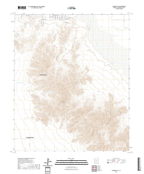
2021 Avondale SE
Maricopa County, AZ
2021 Avondale SW
Maricopa County, AZ
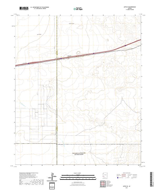
2021 Aztec SE
Maricopa County, AZ
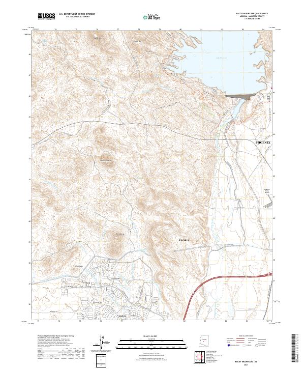
2021 Baldy Mountain
Maricopa County, AZ
2021 Bartlett Dam
Maricopa County, AZ
2021 Belmont Mountain
Maricopa County, AZ
2021 Big Horn
Maricopa County, AZ

2021 Big Horn Peak
Maricopa County, AZ
2021 Biscuit Flat
Maricopa County, AZ
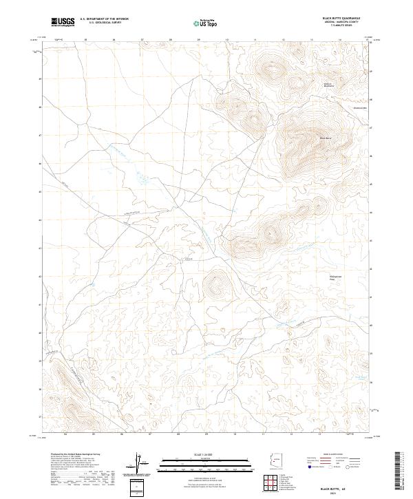
2021 Black Butte
Maricopa County, AZ
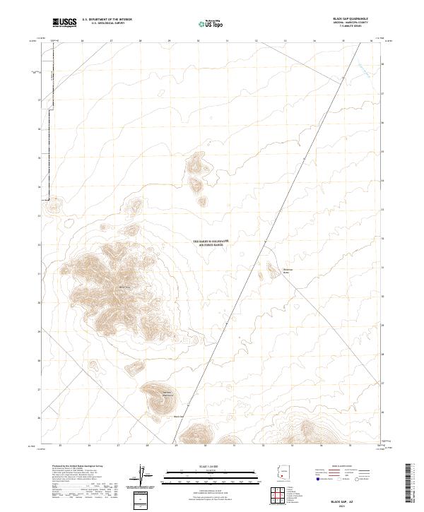
2021 Black Gap
Maricopa County, AZ
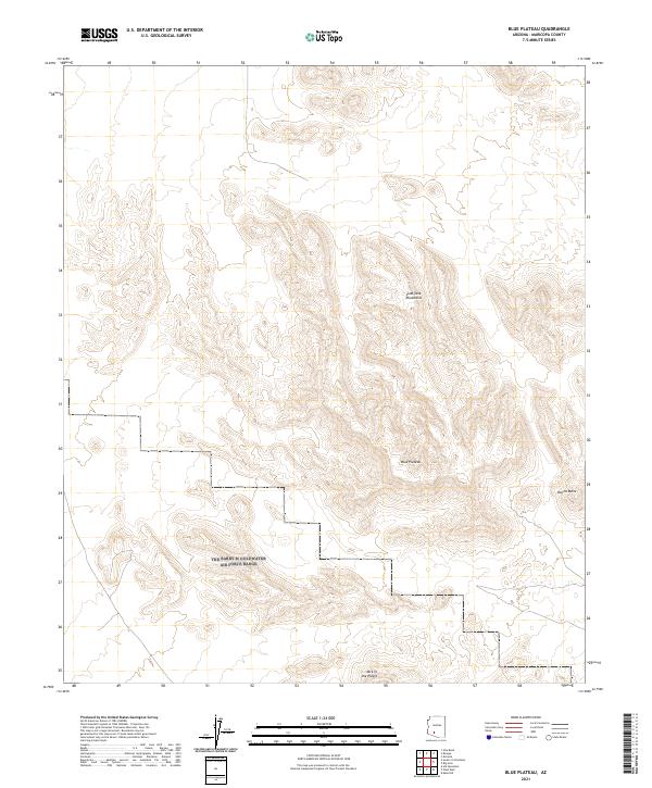
2021 Blue Plateau
Maricopa County, AZ
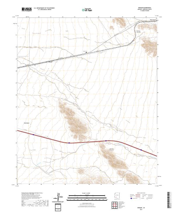
2021 Bosque
Maricopa County, AZ
2021 Boulder Mountain
Maricopa County, AZ
2021 Buckeye NW
Maricopa County, AZ
2021 Buckhorn
Maricopa County, AZ
2021 Burnt Mountain
Maricopa County, AZ
2021 Butterfield Pass
Maricopa County, AZ
2021 Calderwood Butte
Maricopa County, AZ
2021 Citrus Valley East
Maricopa County, AZ
2021 Citrus Valley West
Maricopa County, AZ
2021 Columbus Peak
Maricopa County, AZ
2021 Conley Well
Maricopa County, AZ

2021 Cortez Peak
Maricopa County, AZ
2021 Cortez Peak NW
Maricopa County, AZ
2021 Cotton Center
Maricopa County, AZ
2021 Cotton Center NW
Maricopa County, AZ
2021 Cotton Center SE
Maricopa County, AZ
2021 Courthouse Well
Maricopa County, AZ
2021 Currys Corner
Maricopa County, AZ
2021 Daggs Tank
Maricopa County, AZ
2021 Daisy Mountain
Maricopa County, AZ
2021 Deadman Gap
Maricopa County, AZ
2021 Dendora Valley
Maricopa County, AZ
2021 Eagletail Mountains East
Maricopa County, AZ
2021 East Pass
Maricopa County, AZ
2021 Estrella
Maricopa County, AZ
2021 Flatiron Mountain
Maricopa County, AZ
2021 Forepaugh Peak
Maricopa County, AZ
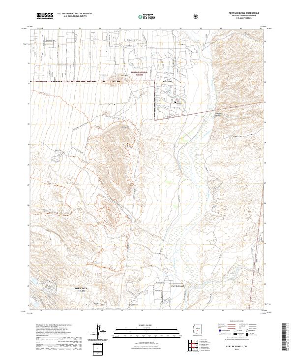
2021 Fort McDowell
Maricopa County, AZ
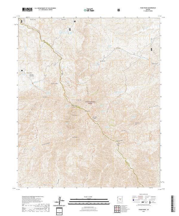
2021 Four Peaks
Maricopa County, AZ
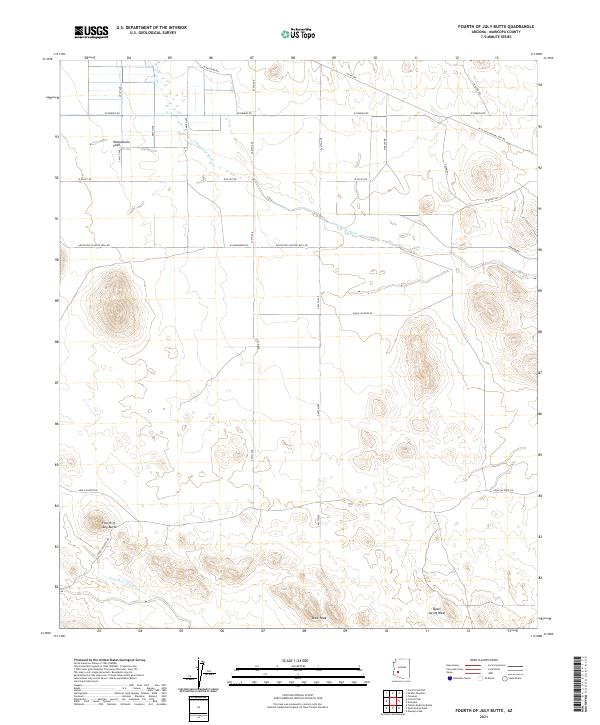
2021 Fourth of July Butte
Maricopa County, AZ
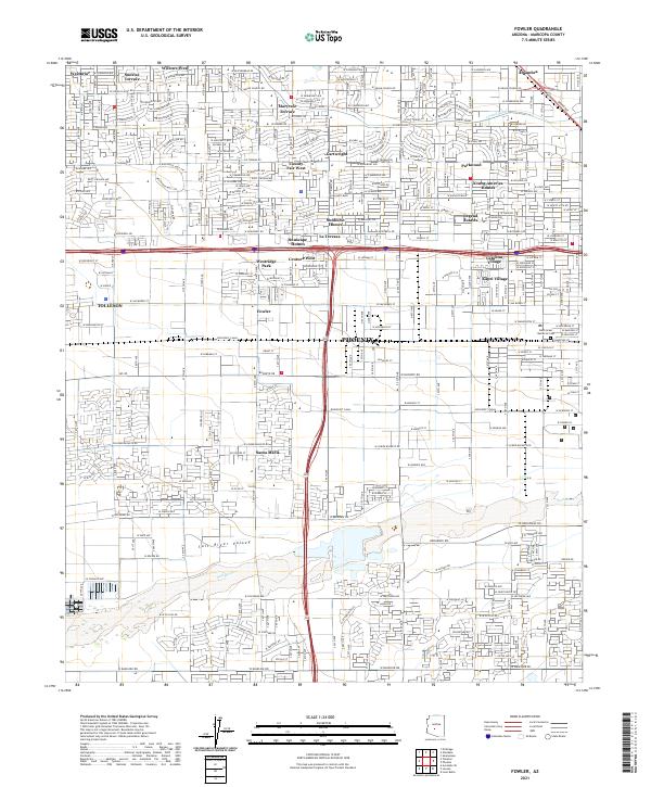
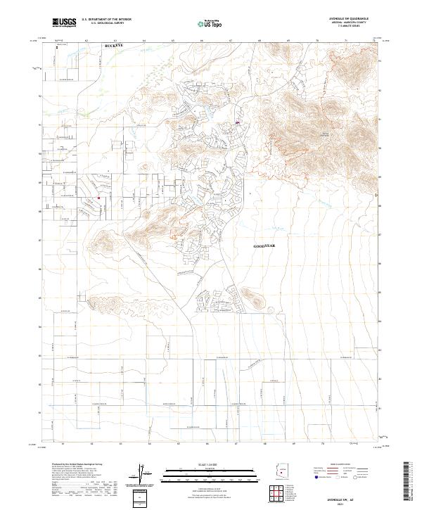
2021 Fowler
Maricopa County, AZ
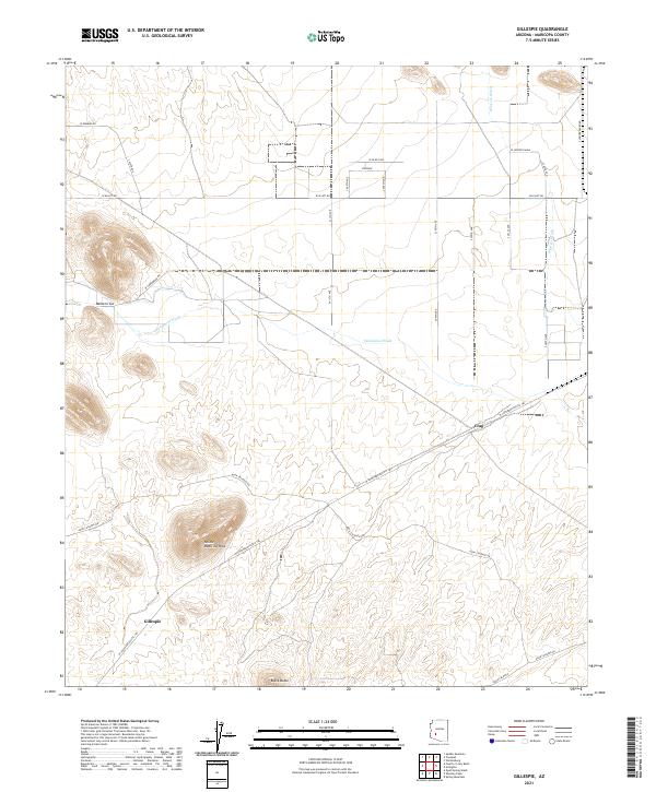
2021 Gillespie
Maricopa County, AZ
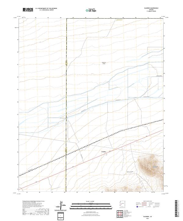
2021 Gladden
Maricopa County, AZ
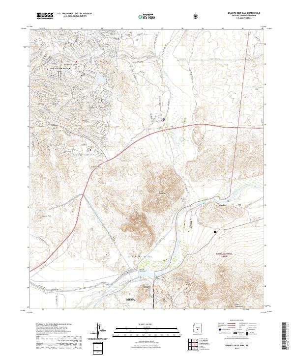
2021 Granite Reef Dam
Maricopa County, AZ
2021 Harquahala Mountain
Maricopa County, AZ
2021 Hassayampa
Maricopa County, AZ
2021 Hat Mountain
Maricopa County, AZ
2021 Hat Mountain SW
Maricopa County, AZ
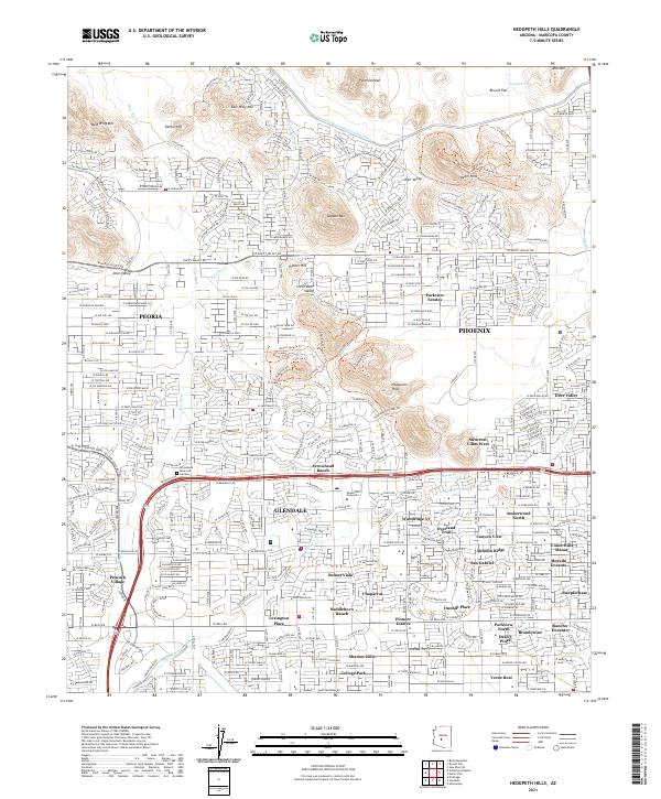
2021 Hedgpeth Hills
Maricopa County, AZ
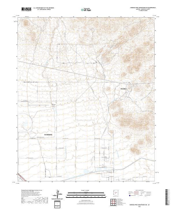
2021 Hieroglyphic Mountains SW
Maricopa County, AZ
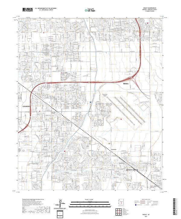
2021 Higley
Maricopa County, AZ
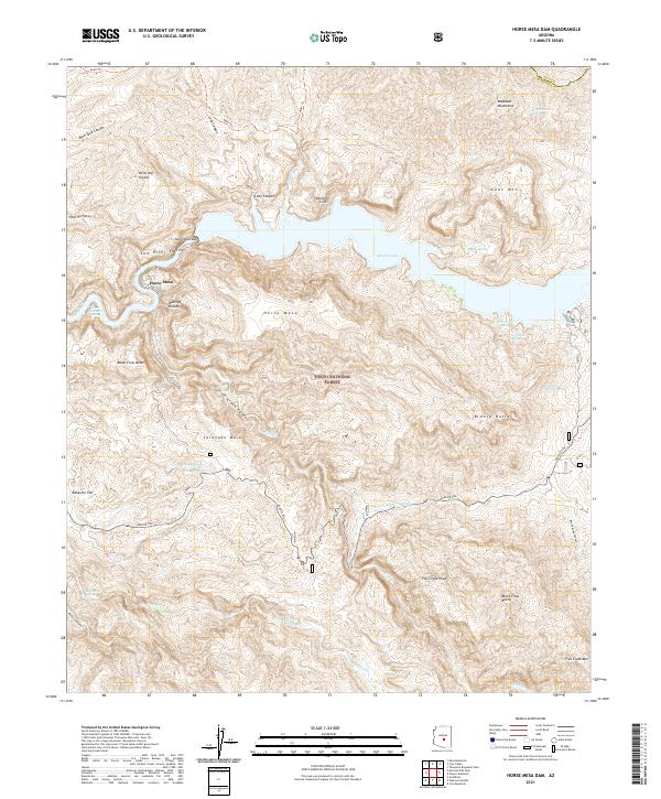
2021 Horse Mesa Dam
Maricopa County, AZ
2021 Horseshoe Dam
Maricopa County, AZ
2021 Hot Rock Mountain
Maricopa County, AZ
2021 Humboldt Mountain
Maricopa County, AZ
2021 Hummingbird Spring
Maricopa County, AZ
2021 Hyder
Maricopa County, AZ
2021 Hyder NE
Maricopa County, AZ
2021 Johnson Well
Maricopa County, AZ
2021 Kaka NW
Maricopa County, AZ
2021 Laveen
Maricopa County, AZ
2021 Lion Mountain
Maricopa County, AZ
2021 Little Horn Peak
Maricopa County, AZ
2021 Lone Butte
Maricopa County, AZ
2021 Lost Horse Peak
Maricopa County, AZ
2021 Malpais Hill
Maricopa County, AZ
2021 Margies Peak
Maricopa County, AZ
2021 Maverick Mountain
Maricopa County, AZ
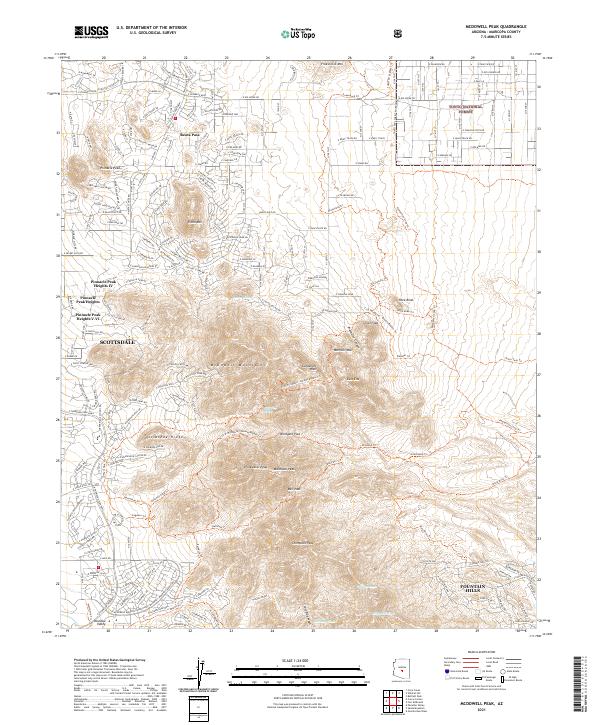
2021 McDowell Peak
Maricopa County, AZ
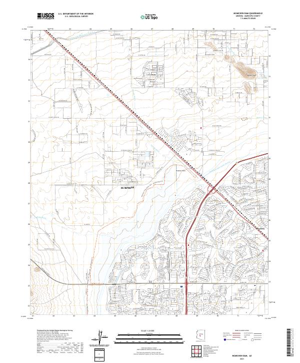
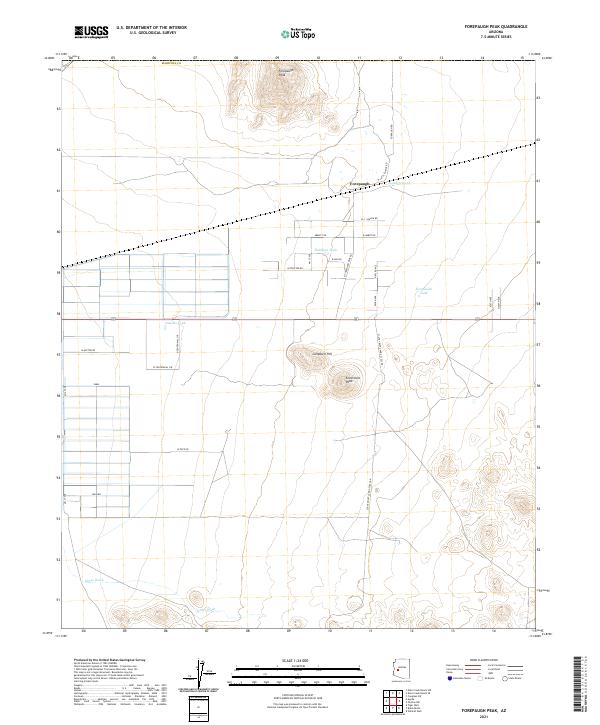
2021 McMicken Dam
Maricopa County, AZ
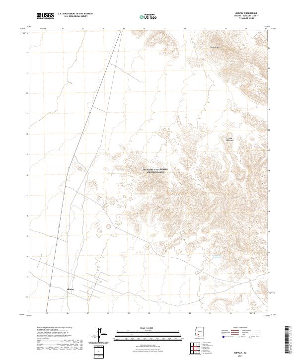
2021 Midway
Maricopa County, AZ
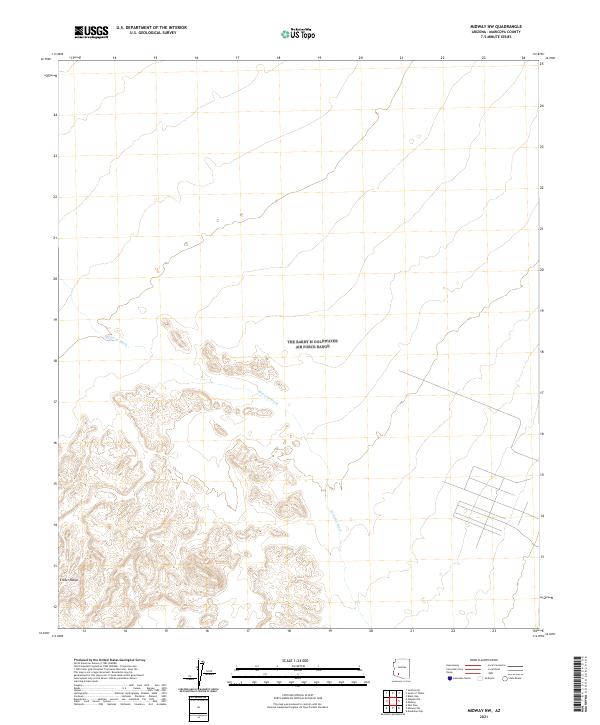
2021 Midway NW
Maricopa County, AZ
2021 Midway SW
Maricopa County, AZ
2021 Mine Mountain
Maricopa County, AZ
2021 Mobile
Maricopa County, AZ
2021 Mobile NE
Maricopa County, AZ
2021 Mobile NW
Maricopa County, AZ
2021 Moivayi
Maricopa County, AZ
2021 Mormon Flat Dam
Maricopa County, AZ
2021 New River Mesa
Maricopa County, AZ
2021 New River SE
Maricopa County, AZ
2021 Oatman Mountain
Maricopa County, AZ
2021 Okie Well
Maricopa County, AZ
2021 Outlaw Hill
Maricopa County, AZ
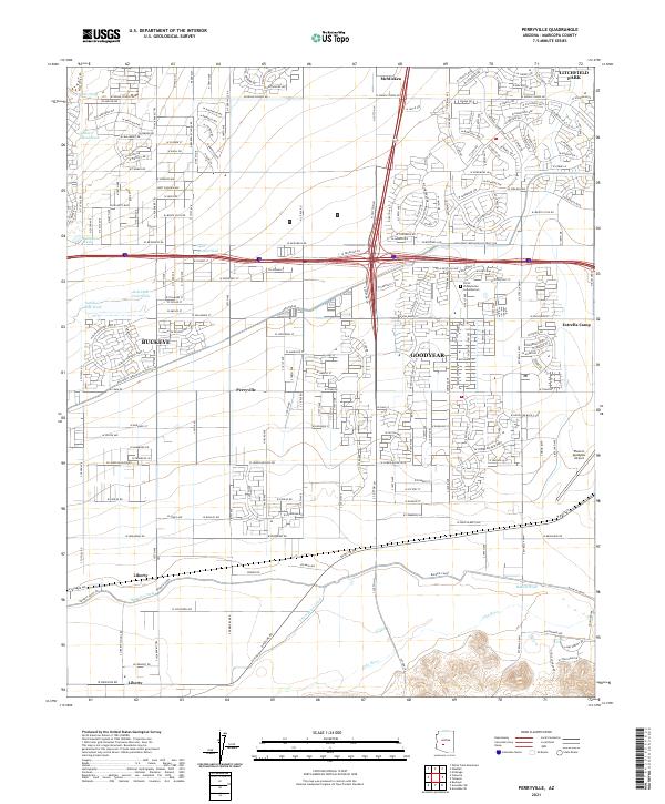
2021 Perryville
Maricopa County, AZ
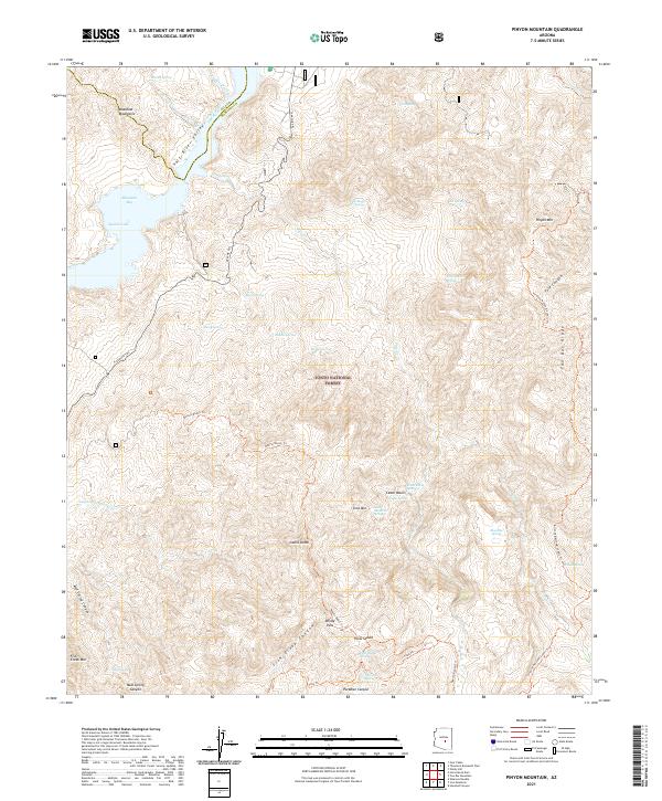
2021 Pinyon Mountain
Maricopa County, AZ
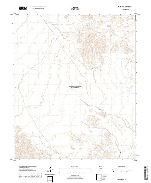
2021 Platt Well
Maricopa County, AZ
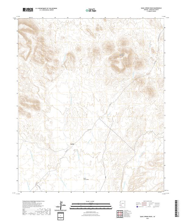
2021 Quail Spring Wash
Maricopa County, AZ
2021 Red Picacho
Maricopa County, AZ
2021 Reno Pass
Maricopa County, AZ
2021 Saddle Mountain
Maricopa County, AZ
2021 Sawik Mountain
Maricopa County, AZ
2021 Sentinel
Maricopa County, AZ
2021 Sentinel NE
Maricopa County, AZ
2021 Sentinel Peak
Maricopa County, AZ
2021 Sentinel SE
Maricopa County, AZ
2021 Smurr
Maricopa County, AZ
2021 South of Gila Bend
Maricopa County, AZ
2021 South of Sentinel
Maricopa County, AZ
2021 South of Theba
Maricopa County, AZ
2021 Spring Mountain
Maricopa County, AZ
2021 Star Well
Maricopa County, AZ
2021 Stewart Mountain
Maricopa County, AZ
2021 Sunnyslope
Maricopa County, AZ
2021 Tiger Well
Maricopa County, AZ
2021 Tom Thumb
Maricopa County, AZ
2021 Union Hills
Maricopa County, AZ
2021 Valencia
Maricopa County, AZ
2021 Vulture Mine
Maricopa County, AZ
2021 Vulture Peak
Maricopa County, AZ
2021 Waddell
Maricopa County, AZ
2021 Wagner Wash Well
Maricopa County, AZ
2021 Weldon Hill
Maricopa County, AZ
2021 White Tank Mountains
Maricopa County, AZ
2021 White Tank Mountains NE
Maricopa County, AZ
2021 Wickenburg SW
Maricopa County, AZ
2021 Wildcat Hill
Maricopa County, AZ
2021 Wildcat Well
Maricopa County, AZ
2021 Woolsey Peak
Maricopa County, AZ
2021 Yellow Medicine Butte
Maricopa County, AZ
2023 Johnson Well
Maricopa County, AZ
2023 Kaka NW
Maricopa County, AZ
2023 Laveen
Maricopa County, AZ
2023 Lion Mountain
Maricopa County, AZ
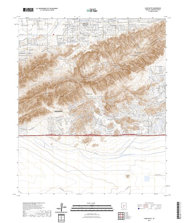
2023 Lone Butte
Maricopa County, AZ
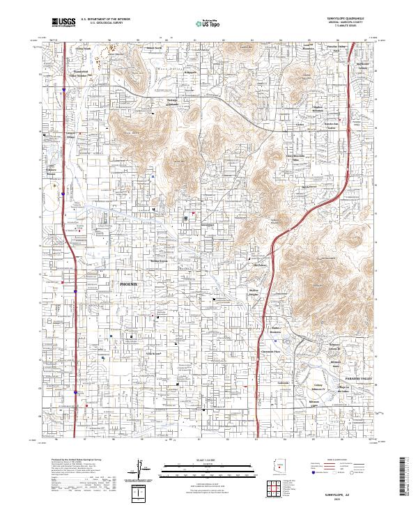
2023 Sunnyslope
Maricopa County, AZ
2026 Black Butte
Maricopa County, AZ
2026 Humboldt Mountain
Maricopa County, AZ
2026 New River Mesa
Maricopa County, AZ