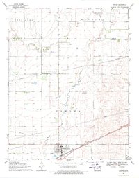
1969 Map of Fowler
USGS Topo · Published 1971About this map
Fowler stands as the primary hub in this late 1960s survey of the High Plains, situated at the edge of the Artesian Valley. The landscape is defined by the winding course of Crooked Creek, which meanders through the townships of East Hess, Wilburn, and Fowler. The Chicago Rock Island and Pacific railroad cuts diagonally across the southern plains, anchoring the local economy to the rail lines and supporting the movement of goods in this agricultural region. Evidence of the area's infrastructure and development is clear through the presence of multiple pipelines and a Radio Tower. For genealogists and local historians, the map provides precise locations for rural burial grounds, including McCauley Cem and Wilburn Cem, offering a window into the settlement patterns of Meade and Ford counties during this era.
Find a feature on this map
17 named features on this map. Tap any name to fly to it.
Don’t see what you’re looking for? This feature index may not catch every label — zoom into the map to look around manually.
Map Details
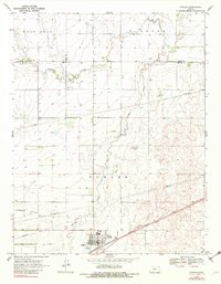
Editions of this 1969 Fowler Map
2 editions found
Other maps of this area

1892 · Meade
USGS Topo · 1:125,000

1892 · Dodge
USGS Topo · 1:125,000

1955 · Dodge City
USGS Topo · 1:250,000

1958 · Dodge City
USGS Topo · 1:250,000

1959 · Dodge City
USGS Topo · 1:250,000

1963 · Meade
USGS Topo · 1:24,000

1967 · Fowler SE
USGS Topo · 1:24,000

1967 · Fowler SW
USGS Topo · 1:24,000

1967 · Minneola
USGS Topo · 1:24,000

1969 · Meade NE
USGS Topo · 1:24,000