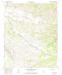
1964 Map of Foxen Canyon
USGS Topo · Published 1978About this map
Sisquoc River waters carve a broad valley through the northern reaches of this map, setting the stage for a landscape dominated by historic California land grants and early ranching estates. The agricultural legacy is preserved in named holdings like Sisquoc Ranch, Rancho Tinaquaic, and Rancho San Juan, which reflect the transition from colonial Mexican ranchos to modern production. Along the arterial Foxen Canyon Road, the map documents significant local landmarks including the Fremont-Foxen Monument and the Foxen Adobe (Site), markers of the area's mid-19th-century history. To the southwest, the industrial footprint of the Gato Ridge Oil Field contrasts with the surrounding Solomon Hills, while the San Rafael Mountains rise in the east, intersected by numerous canyons like Asphaltum Creek and Whoop Canyon.
Find a feature on this map
39 named features on this map. Tap any name to fly to it.
Don’t see what you’re looking for? This feature index may not catch every label — zoom into the map to look around manually.
Map Details
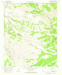
Editions of this 1964 Foxen Canyon Map
2 editions found
Other maps of this area

1905 · Lompoc
USGS Topo · 1:125,000

1942 · Lompoc
USGS Topo · 1:125,000

1942 · Lompoc
USGS Topo · 1:62,500

1942 · Santa Maria
USGS Topo · 1:62,500

1942 · Tepusquet Peak
USGS Topo · 1:62,500

1942 · Los Olivos
USGS Topo · 1:62,500

1943 · Los Olivos
USGS Topo · 1:62,500

1943 · Tepusquet Peak
USGS Topo · 1:62,500

1943 · Lompoc
USGS Topo · 1:125,000

1947 · Careaga Canyon
USGS Topo · 1:24,000