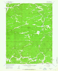
1961 Map of Foxpark
USGS Topo · Published 1963About this map
Union Pacific rail lines carve through the high elevations of the Medicine Bow National Forest in this early 1960s survey. The settlement of Foxpark serves as a central point for the region's mountain activity, flanked by the residential pockets of Wyocolo and Mountain Home near the southern border. The landscape is a network of named drainages like Pelton Creek and Heidrich Creek, interspersed with logging and recreation sites including the Evans Creek Campground and Lake Creek Resort.
Find a feature on this map
76 named features on this map. Tap any name to fly to it.
Don’t see what you’re looking for? This feature index may not catch every label — zoom into the map to look around manually.
Map Details
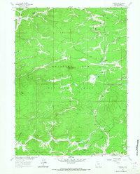
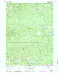
Editions of this 1961 Foxpark Map
3 editions found
Other maps of this area

1906 · Medicine Bow
USGS Topo · 1:125,000

1908 · Medicine Bow
USGS Topo · 1:125,000

1950 · Northgate
USGS Topo · 1:24,000

1950 · Kings Canyon
USGS Topo · 1:24,000

1952 · Northgate
USGS Topo · 1:24,000

1952 · Kings Canyon
USGS Topo · 1:24,000

1954 · Rawlins
USGS Topo · 1:250,000

1954 · Craig
USGS Topo · 1:250,000

1955 · Old Roach
USGS Topo · 1:24,000

1955 · Kings Canyon
USGS Topo · 1:62,500