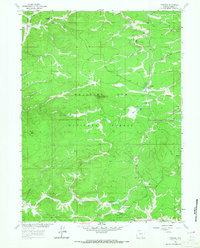
1961 Map of Foxpark
USGS Topo · Published 1967About this map
Medicine Bow National Forest dominates this mountain landscape, which was carefully documented during the early 1960s for the Department of the Interior's Missouri River Basin development program. The Union Pacific railroad line is the primary structural element of the map, weaving through high-elevation terrain to serve the timber and mining interests of the region. This rail-dependent infrastructure is evident in the cluster of small settlements like Foxpark, Wyocolo, and Mountain Home, which were established to support the local economy and forest management.
Find a feature on this map
37 named features on this map. Tap any name to fly to it.
Don’t see what you’re looking for? This feature index may not catch every label — zoom into the map to look around manually.
Map Details
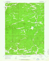
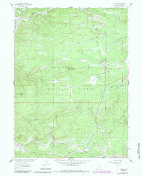
Editions of this 1961 Foxpark Map
3 editions found
Other maps of this area

1906 · Medicine Bow
USGS Topo · 1:125,000

1908 · Medicine Bow
USGS Topo · 1:125,000

1950 · Northgate
USGS Topo · 1:24,000

1950 · Kings Canyon
USGS Topo · 1:24,000

1952 · Northgate
USGS Topo · 1:24,000

1952 · Kings Canyon
USGS Topo · 1:24,000

1954 · Rawlins
USGS Topo · 1:250,000

1954 · Craig
USGS Topo · 1:250,000

1955 · Old Roach
USGS Topo · 1:24,000

1955 · Kings Canyon
USGS Topo · 1:62,500