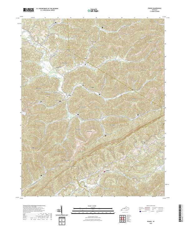
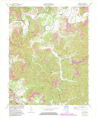
2022 Map of Frakes
USGS Topo · Published 2022About this map
Pine Mountain and the Log Mountains dominate this section of the Cumberland Plateau, where the headwaters of Laurel Fork and Poplar Cr carve through a landscape of ridges and hollows. The settlement pattern follows these narrow watercourses, with communities such as Frakes, Siler, and Pearl established at key junctions and gaps. The map reveals a high density of family cemeteries, including Wells Cem, McKiddy Cem, and Goins Cem, which are often located on elevated terrain like Trace Ridge or near established routes such as State Hwy 190.
Find a feature on this map
96 named features on this map. Tap any name to fly to it.
Don’t see what you’re looking for? This feature index may not catch every label — zoom into the map to look around manually.
Map Details
Editions of this 2022 Frakes Map
This is the sole edition of this map. No revisions or reprints were ever made.
Historical Maps of Frakes Through Time
14 maps found
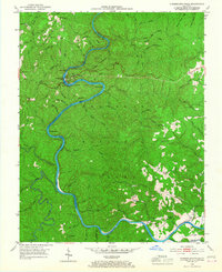
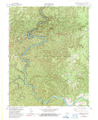
1952 Cumberland Falls
Whitley County, KY
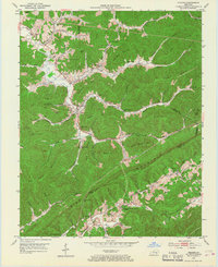
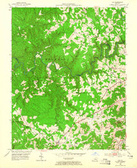
1952 Frakes
Whitley County, KY
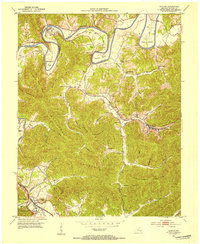
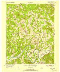
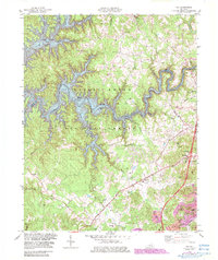
1952 Saxton
Whitley County, KY
1952 Vox
Whitley County, KY
1952 Wofford
Whitley County, KY
1969 Wofford
Whitley County, KY
1970 Saxton
Whitley County, KY
1979 Cumberland Falls
Whitley County, KY
1979 Vox
Whitley County, KY
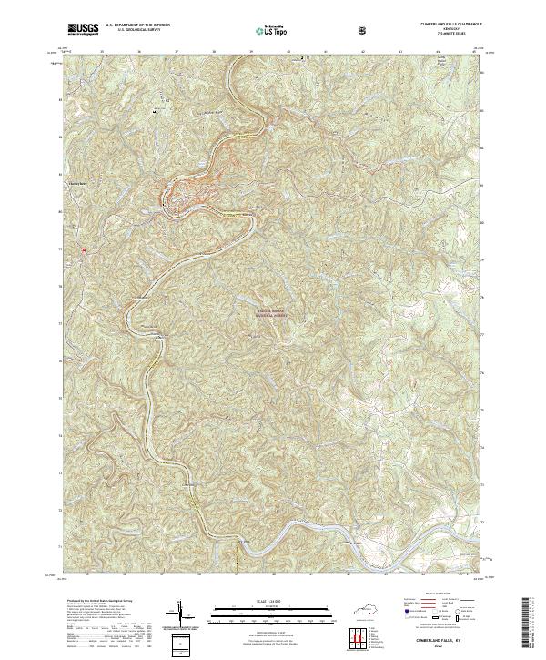
2022 Cumberland Falls
Whitley County, KY
2022 Frakes
Whitley County, KY
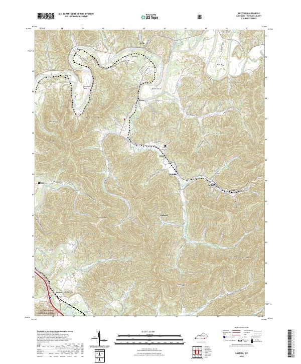
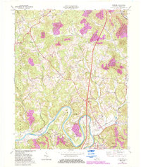
2022 Saxton
Whitley County, KY
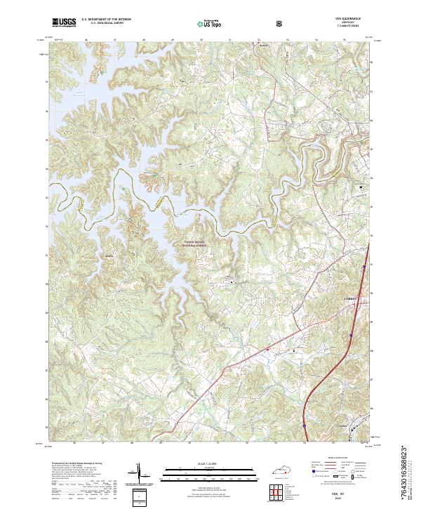
2022 Vox
Whitley County, KY
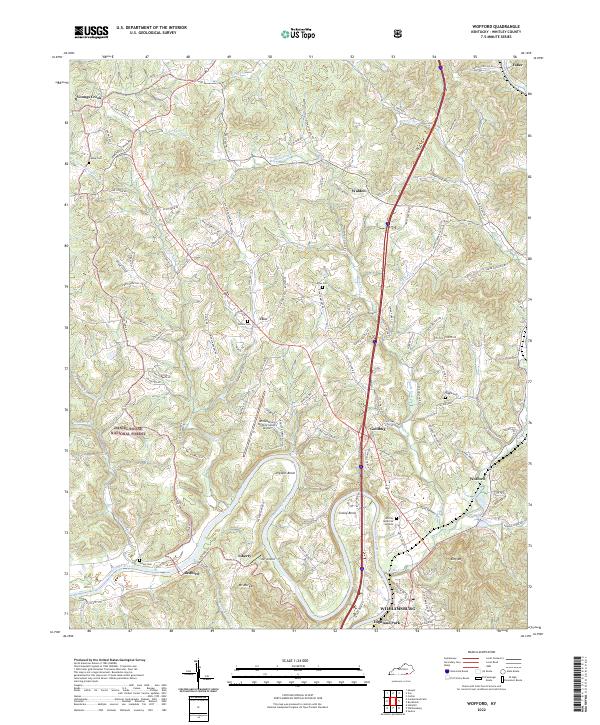
2022 Wofford
Whitley County, KY