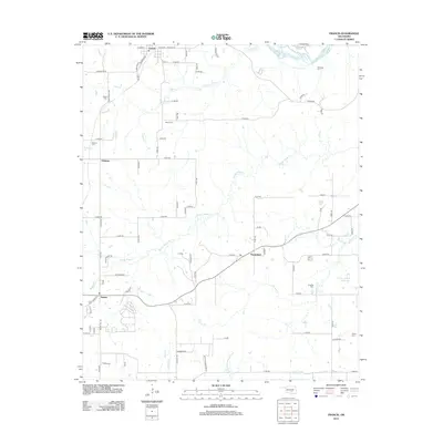
2012 Map of Francis
USGS Topo · Published 2012About this map
The Canadian River cuts across the northern edge of this Pontotoc County landscape, which is defined by a dense network of local roads and small rural settlements in the early 21st century. The town of Francis anchors the northern region, while the small communities of Happyland, Oakman, and Homer are scattered throughout the quadrangle. For genealogists, the map is particularly useful for locating numerous burial grounds, including the Kilcrease Cem, Denny Cem, and Fivemile Cem. The local hydrology is dominated by the winding path of Muddy Boggy Cr and its tributaries like Sincere Cr, which drain toward the Warren Hogue Reservoir in the southeast. The terrain rises toward the south near Walton Mountain Rd, showing the transition from river bottomlands to more elevated country.
Find a feature on this map
75 named features on this map. Tap any name to fly to it.
Don’t see what you’re looking for? This feature index may not catch every label — zoom into the map to look around manually.
Map Details
Editions of this 2012 Francis Map
This is the sole edition of this map. No revisions or reprints were ever made.
Other maps of this area

1896 · Coalgate
USGS Topo · 1:125,000

1899 · Coalgate
USGS Topo · 1:125,000

1900 · Coalgate
USGS Topo · 1:125,000

1901 · Stonewall
USGS Topo · 1:125,000

1957 · Stonewall
USGS Topo · 1:24,000

1957 · Ardmore
USGS Topo · 1:250,000

1958 · Sasakwa
USGS Topo · 1:24,000

1958 · Lula
USGS Topo · 1:24,000

1958 · Francis
USGS Topo · 1:24,000

1958 · Steedman
USGS Topo · 1:24,000