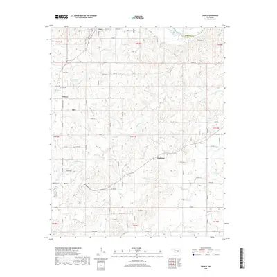
2018 Map of Francis
USGS Topo · Published 2018About this map
Francis and its surrounding rural communities occupy the northern reaches of Pontotoc County, where the terrain transitions toward the Canadian River. This landscape is defined by the headwaters of Muddy Boggy Cr and several local tributaries including Cotton Cr, Sincere Cr, and Rhoda Cr. Small family and community landmarks are frequent across the township lines, including Oliver Cem, Denny Cem, and Kilcrease Cem. The map provides a detailed view of the local road network connecting outlying areas like Happyland, Oakman, and Homer to the larger hub of Ada. Reservoir development is a visible feature of the modern landscape, with several named bodies of water such as the Warren Hogue Reservoir and numbered catchments like 123008 Reservoir. These hydrological features, combined with the presence of Walton Mtn Rd, illustrate the topographic character of the region as it appeared in the late 2010s.
Find a feature on this map
70 named features on this map. Tap any name to fly to it.
Don’t see what you’re looking for? This feature index may not catch every label — zoom into the map to look around manually.
Map Details
Editions of this 2018 Francis Map
This is the sole edition of this map. No revisions or reprints were ever made.
Other maps of this area

1896 · Coalgate
USGS Topo · 1:125,000

1899 · Coalgate
USGS Topo · 1:125,000

1900 · Coalgate
USGS Topo · 1:125,000

1901 · Stonewall
USGS Topo · 1:125,000

1957 · Stonewall
USGS Topo · 1:24,000

1957 · Ardmore
USGS Topo · 1:250,000

1958 · Sasakwa
USGS Topo · 1:24,000

1958 · Lula
USGS Topo · 1:24,000

1958 · Francis
USGS Topo · 1:24,000

1958 · Steedman
USGS Topo · 1:24,000