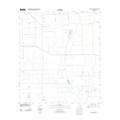
2013 Map of Francitas NE
USGS Topo · Published 2013About this map
Petroleum extraction and coastal drainage systems define this section of the Texas Gulf Coast as it appeared in the early 21st century. The landscape is characterized by its energy production footprint, with the Little Kentucky Oil Field situated in the northwest and the Midfield Oil Field in the southeast. These industrial sites are linked by a network of rural county roads, such as Co RD-330 and Co RD-217, which overlay a flat coastal plain. Water management is central to the area's geography, visible through the winding course of E Carancahua Cr and its tributaries like Moccasin Cr and Lunis Cr. These natural water bodies are supplemented by engineered features like Reservoir Number 4, illustrating the intersection of natural hydrology and resource development in this part of Matagorda County. The southern edge of the survey also captures the northern extent of the North Francitas Oil Field.
Find a feature on this map
35 named features on this map. Tap any name to fly to it.
Don’t see what you’re looking for? This feature index may not catch every label — zoom into the map to look around manually.
Map Details
Editions of this 2013 Francitas NE Map
This is the sole edition of this map. No revisions or reprints were ever made.
Other maps of this area

1951 · Danevang
USGS Topo · 1:24,000

1952 · Francitas NW
USGS Topo · 1:24,000

1952 · Francitas
USGS Topo · 1:24,000

1952 · Blessing
USGS Topo · 1:24,000

1952 · Francitas NE
USGS Topo · 1:24,000

1952 · Midfield
USGS Topo · 1:24,000

1952 · La Ward
USGS Topo · 1:24,000

1953 · Beeville
USGS Topo · 1:250,000

1953 · Seguin
USGS Topo · 1:250,000

1956 · Beeville
USGS Topo · 1:250,000