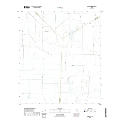
2019 Map of Francitas NE
USGS Topo · Published 2019About this map
E Carancahua Cr winds through this coastal prairie landscape where the borders of Matagorda, Jackson, and Wharton counties converge. The terrain is defined by a systematic grid of rural roads and water management features, including the notable Reservoir Number 4 located in the northeastern sector near Moccasin Cr. The map reveals a highly structured agricultural or drainage network, with numerous family-named routes such as Strarup Rd, Knebel Rd, and Michna Rd providing access to large tracts of land. This pattern of development illustrates the 21st-century transition of the Texas Gulf Coast hinterlands, where natural drainage systems like Lunis Cr have been integrated into a landscape of engineered water storage and local transportation corridors.
Find a feature on this map
37 named features on this map. Tap any name to fly to it.
Don’t see what you’re looking for? This feature index may not catch every label — zoom into the map to look around manually.
Map Details
Editions of this 2019 Francitas NE Map
This is the sole edition of this map. No revisions or reprints were ever made.
Other maps of this area

1951 · Danevang
USGS Topo · 1:24,000

1952 · Francitas NW
USGS Topo · 1:24,000

1952 · Francitas
USGS Topo · 1:24,000

1952 · Blessing
USGS Topo · 1:24,000

1952 · Francitas NE
USGS Topo · 1:24,000

1952 · Midfield
USGS Topo · 1:24,000

1952 · La Ward
USGS Topo · 1:24,000

1953 · Beeville
USGS Topo · 1:250,000

1953 · Seguin
USGS Topo · 1:250,000

1956 · Beeville
USGS Topo · 1:250,000