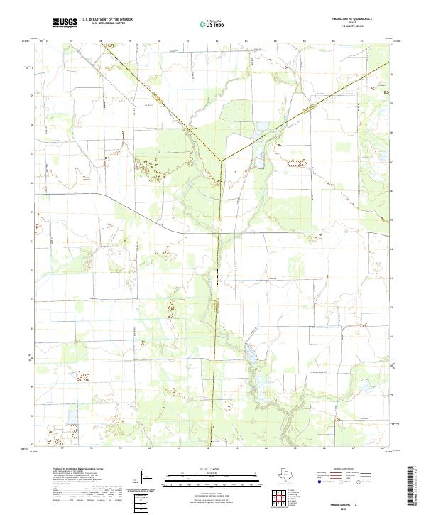
2022 Map of Francitas NE
USGS Topo · Published 2022About this map
E Carancahua Cr and Moccasin Cr define the hydrological landscape of this coastal prairie region where the borders of Jackson, Wharton, and Matagorda counties intersect. The terrain is marked by a network of drainage ways and water management features, most notably Reservoir Number 4, which serves the agricultural needs of the surrounding plains. The map reveals a highly structured grid of rural infrastructure, where family names are preserved through the naming of local thoroughfares such as Michna Rd, Kramer Rd, and Knebel Rd. This pattern of land use, dominated by wide-open spaces and managed water resources like Lunis Cr, reflects the enduring ranching and farming character of the Texas Gulf Coast hinterlands in the early twenty-first century. The intersection of these county lines suggests a long history of property boundary evolution in a landscape where water and road networks dictate the placement of rural homesteads.
Find a feature on this map
38 named features on this map. Tap any name to fly to it.
Don’t see what you’re looking for? This feature index may not catch every label — zoom into the map to look around manually.
Map Details
Editions of this 2022 Francitas NE Map
This is the sole edition of this map. No revisions or reprints were ever made.
Other maps of this area

1951 · Danevang
USGS Topo · 1:24,000

1952 · Francitas NW
USGS Topo · 1:24,000

1952 · Francitas
USGS Topo · 1:24,000

1952 · Blessing
USGS Topo · 1:24,000

1952 · Francitas NE
USGS Topo · 1:24,000

1952 · Midfield
USGS Topo · 1:24,000

1952 · La Ward
USGS Topo · 1:24,000

1953 · Beeville
USGS Topo · 1:250,000

1953 · Seguin
USGS Topo · 1:250,000

1956 · Beeville
USGS Topo · 1:250,000