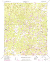
1957 Map of Frankfort
USGS Topo · Published 1974About this map
The Chickasaw Boundary bisects the northwestern portion of this landscape, a significant historical line running near the headwaters of Waterfall Branch and Dry Creek. Settlement patterns are concentrated around the village of Frankfort and the community of Crooked Oak, with the terrain marked by numerous small churches and family burial grounds that reflect the rural character of Franklin County. Many of these sites, such as Burnt Church Cem and Jonesboro Ch, are connected by a network of winding roads and crossings like Hester Bridge.
Find a feature on this map
47 named features on this map. Tap any name to fly to it.
Don’t see what you’re looking for? This feature index may not catch every label — zoom into the map to look around manually.
Map Details
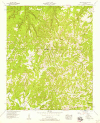
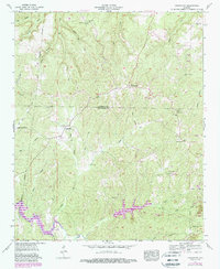
Editions of this 1957 Frankfort Map
3 editions found
Other maps of this area

1924 · Tuscumbia
USGS Topo · 1:48,000

1925 · Barton
USGS Topo · 1:62,500

1926 · Tuscumbia
USGS Topo · 1:62,500

1926 · Barton
USGS Topo · 1:48,000

1929 · Barton
USGS Topo · 1:62,500

1936 · Russellville
USGS Topo · 1:24,000

1936 · Frankfort
USGS Topo · 1:24,000

1936 · Pleasant Grove
USGS Topo · 1:24,000

1936 · Isbell
USGS Topo · 1:24,000

1936 · Pride
USGS Topo · 1:24,000