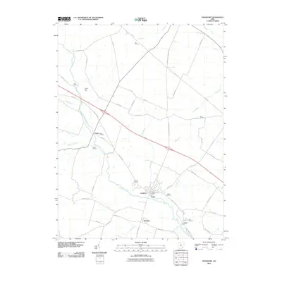
2010 Map of Frankfort
USGS Topo · Published 2010About this map
Frankfort sits at a historic bend where North Fork Paint Creek meets Oldtown Run, anchoring this Ross County landscape. The settlement pattern is defined by a dense network of family-named roads and rural infrastructure, including the Frankfort Post Office and several well-maintained local burial grounds. For genealogists, the map is particularly rich in cemetery locations, from the larger Greenlawn Cemetery to smaller family sites like Stader Cemetery, Ware Cemetery, and Rowe Cemetery.
Find a feature on this map
52 named features on this map. Tap any name to fly to it.
Don’t see what you’re looking for? This feature index may not catch every label — zoom into the map to look around manually.
Map Details
Editions of this 2010 Frankfort Map
This is the sole edition of this map. No revisions or reprints were ever made.
Other maps of this area

1906 · Mt Sterling
USGS Topo · 1:62,500

1911 · Era
USGS Topo · 1:62,500

1912 · Roxabell
USGS Topo · 1:62,500

1913 · Era
USGS Topo · 1:62,500

1914 · Roxabell
USGS Topo · 1:62,500

1917 · Greenfield
USGS Topo · 1:62,500

1943 · Era
USGS Topo · 1:62,500

1944 · Greenfield
USGS Topo · 1:62,500

1944 · Roxabell
USGS Topo · 1:62,500

1947 · Columbus
USGS Topo · 1:250,000