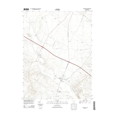
2013 Map of Frankfort
USGS Topo · Published 2013About this map
Frankfort stands as the primary hub in this Ross County landscape, where the confluence of several small waterways and local road networks defines the community structure. The village is flanked by significant local landmarks including Greenlawn Cem and the Old Methodist Cem, pointing to the deep genealogical roots of the area. Further south, the settlement of Roxabell sits near the banks of Little Creek, while the hamlet of Austin is situated to the west, near the Stader Cem.
Find a feature on this map
58 named features on this map. Tap any name to fly to it.
Don’t see what you’re looking for? This feature index may not catch every label — zoom into the map to look around manually.
Map Details
Editions of this 2013 Frankfort Map
This is the sole edition of this map. No revisions or reprints were ever made.
Other maps of this area

1906 · Mt Sterling
USGS Topo · 1:62,500

1911 · Era
USGS Topo · 1:62,500

1912 · Roxabell
USGS Topo · 1:62,500

1913 · Era
USGS Topo · 1:62,500

1914 · Roxabell
USGS Topo · 1:62,500

1917 · Greenfield
USGS Topo · 1:62,500

1943 · Era
USGS Topo · 1:62,500

1944 · Greenfield
USGS Topo · 1:62,500

1944 · Roxabell
USGS Topo · 1:62,500

1947 · Columbus
USGS Topo · 1:250,000