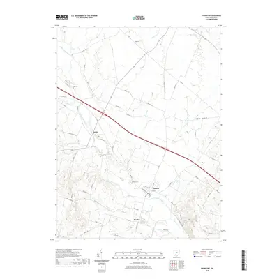
2019 Map of Frankfort
USGS Topo · Published 2019About this map
Frankfort serves as the primary hub of activity in this portion of Ross County, situated along the banks of North Fork Paint Creek. The landscape is a mix of agricultural plots and small settlements, including Austin and Roxabell, connected by a dense network of early thoroughfares like Egypt Pike and Frankfort Clarksburg Pike. Genealogists will find a high concentration of burial sites throughout the quadrangle, ranging from the Old Methodist Cem and Baptist Cem in the heart of town to smaller family or rural plots such as Mallow Cem and Stader Cem. The terrain is generally level near the creek valley, rising toward Lake Hill in the southeast. This map captures the modern footprint of these historic communities while preserving the locations of numerous 19th-century cemeteries and the original path of Old US 35.
Find a feature on this map
68 named features on this map. Tap any name to fly to it.
Don’t see what you’re looking for? This feature index may not catch every label — zoom into the map to look around manually.
Map Details
Editions of this 2019 Frankfort Map
This is the sole edition of this map. No revisions or reprints were ever made.
Other maps of this area

1906 · Mt Sterling
USGS Topo · 1:62,500

1911 · Era
USGS Topo · 1:62,500

1912 · Roxabell
USGS Topo · 1:62,500

1913 · Era
USGS Topo · 1:62,500

1914 · Roxabell
USGS Topo · 1:62,500

1917 · Greenfield
USGS Topo · 1:62,500

1943 · Era
USGS Topo · 1:62,500

1944 · Greenfield
USGS Topo · 1:62,500

1944 · Roxabell
USGS Topo · 1:62,500

1947 · Columbus
USGS Topo · 1:250,000