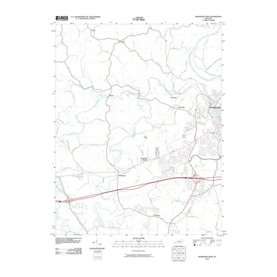
2010 Map of Frankfort West
USGS Topo · Published 2010About this map
The Kentucky River flows through the northeastern corner of this landscape, marking the transition from the state capital's urban fringe to the undulating farmland of the west. In Frankfort, the map captures the transition from the dense downtown grid to the developing outskirts, including Capital City Airport and residential clusters like Broadville Manor. To the west, the terrain is defined by the winding paths of Benson Creek and its many forks, which have shaped the settlement patterns of rural communities such as Benson, Bridgeport, and Evergreen.
Find a feature on this map
55 named features on this map. Tap any name to fly to it.
Don’t see what you’re looking for? This feature index may not catch every label — zoom into the map to look around manually.
Map Details
Editions of this 2010 Frankfort West Map
This is the sole edition of this map. No revisions or reprints were ever made.
Other maps of this area

1906 · Lockport
USGS Topo · 1:48,000

1908 · Lockport
USGS Topo · 1:62,500

1922 · Frankfort
USGS Topo · 1:48,000

1923 · Waddy
USGS Topo · 1:48,000

1924 · Frankfort
USGS Topo · 1:62,500

1925 · Mount Eden
USGS Topo · 1:48,000

1927 · Mount Eden
USGS Topo · 1:62,500

1928 · New Castle
USGS Topo · 1:48,000

1932 · New Castle
USGS Topo · 1:62,500

1951 · Lawrenceburg
USGS Topo · 1:24,000