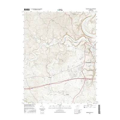
2016 Map of Frankfort West
USGS Topo · Published 2016About this map
The Kentucky River snakes through the eastern portion of this Franklin County landscape, shaping the development of Frankfort and its surrounding hill country. The river's influence is evident at historic crossing points like the Old Iron Bridge At Bridge Hole and the Benson Bridge, which connect the capital city to western rural outposts. Further west, the terrain is defined by the winding course of Benson Creek and its many tributaries, including North Benson Creek and South Benson Creek.
Find a feature on this map
110 named features on this map. Tap any name to fly to it.
Don’t see what you’re looking for? This feature index may not catch every label — zoom into the map to look around manually.
Map Details
Editions of this 2016 Frankfort West Map
This is the sole edition of this map. No revisions or reprints were ever made.
Other maps of this area

1906 · Lockport
USGS Topo · 1:48,000

1908 · Lockport
USGS Topo · 1:62,500

1922 · Frankfort
USGS Topo · 1:48,000

1923 · Waddy
USGS Topo · 1:48,000

1924 · Frankfort
USGS Topo · 1:62,500

1925 · Mount Eden
USGS Topo · 1:48,000

1927 · Mount Eden
USGS Topo · 1:62,500

1928 · New Castle
USGS Topo · 1:48,000

1932 · New Castle
USGS Topo · 1:62,500

1951 · Lawrenceburg
USGS Topo · 1:24,000