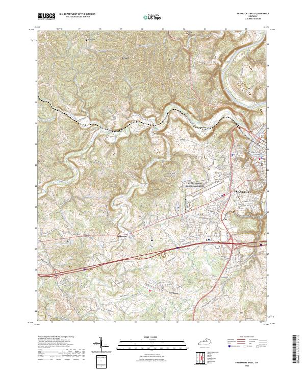
2022 Map of Frankfort West
USGS Topo · Published 2022About this map
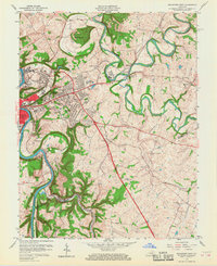
The Kentucky River snakes through the eastern edge of this modern survey, anchoring the state capital's government district near Buttimer Hill. The Franklin County Courthouse and the Supreme Court of Kentucky stand as prominent landmarks within the dense street grid of Frankfort. Westward, the landscape shifts into a complex network of ridges and drainages defined by South Benson Creek and its many tributaries, including Quire Br and Taylor Br.
Find a feature on this map
147 named features on this map. Tap any name to fly to it.
Don’t see what you’re looking for? This feature index may not catch every label — zoom into the map to look around manually.
Map Details
Editions of this 2022 Frankfort West Map
This is the sole edition of this map. No revisions or reprints were ever made.
Historical Maps of Evergreen Through Time
14 maps found
1953 Frankfort East
Franklin County, KY
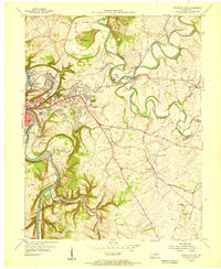
1953 Frankfort West
Franklin County, KY
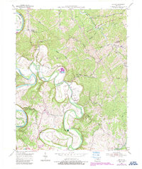
1953 Polsgrove
Franklin County, KY
1954 Switzer
Franklin County, KY
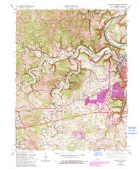
1959 Frankfort East
Franklin County, KY
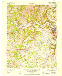
1959 Frankfort West
Franklin County, KY
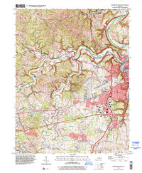
1970 Frankfort East
Franklin County, KY
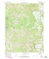
1970 Frankfort West
Franklin County, KY
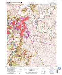
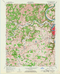
1996 Frankfort East
Franklin County, KY
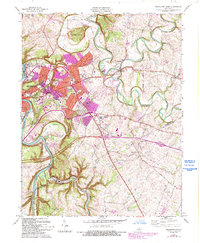
1997 Frankfort West
Franklin County, KY
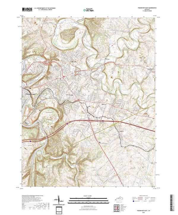
2022 Frankfort East
Franklin County, KY
2022 Frankfort West
Franklin County, KY
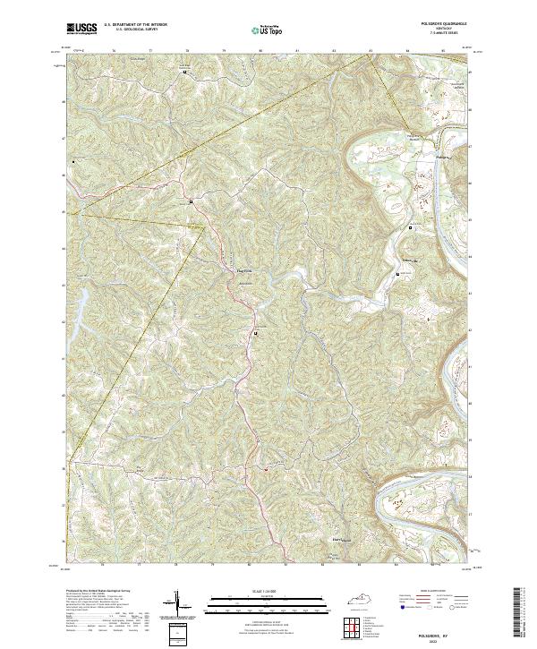
2022 Polsgrove
Franklin County, KY
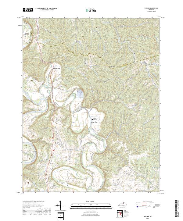
2022 Switzer
Franklin County, KY