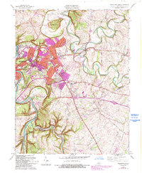
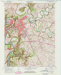
1970 Map of Frankfort East
USGS Topo · Published 1993About this map
The Kentucky River winds sharply through this 1970s landscape, framing the seat of state government and its surrounding valley. The State Capitol and the sprawling grounds of the Frankfort State Hospital and School anchor the urban core of Frankfort, while industrial expansion is evident along Industrial Rd near Jett. To the north, the dramatic ridge known as The Backbone is bypassed by the meandering Elkhorn Creek, which splits into the North Fork and South Fork at the community of Forks of Elkhorn. This period of the city's growth is captured through suburban developments in Indian Hills and Bon Air Hills. Infrastructure such as Lock and Dam No 4 and the Louisville and Nashville RR highlight the city's historic reliance on river and rail transport.
Find a feature on this map
54 named features on this map. Tap any name to fly to it.
Don’t see what you’re looking for? This feature index may not catch every label — zoom into the map to look around manually.
Map Details
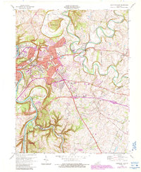
Editions of this 1970 Frankfort East Map
6 editions found
Other maps of this area

1906 · Lockport
USGS Topo · 1:48,000

1906 · Georgetown
USGS Topo · 1:62,500

1908 · Lockport
USGS Topo · 1:62,500

1908 · Georgetown
USGS Topo · 1:62,500

1922 · Frankfort
USGS Topo · 1:48,000

1924 · Frankfort
USGS Topo · 1:62,500

1939 · Sadieville
USGS Topo · 1:62,500

1951 · Lawrenceburg
USGS Topo · 1:24,000

1952 · Midway
USGS Topo · 1:24,000
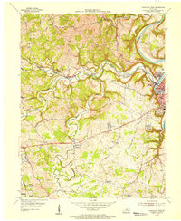
1953 · Frankfort West
USGS Topo · 1:24,000