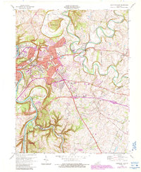
1970 Map of Frankfort East
USGS Topo · Published 1988About this map
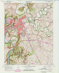
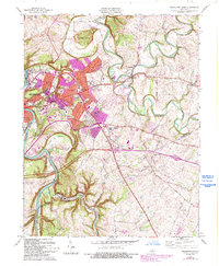
Frankfort serves as the focal point of this 1970 study, which captures the state capital as its suburban boundaries began to expand eastward through Indian Hills and toward the Forks of Elkhorn. The geography is defined by the winding Kentucky River and the dramatic meanders of Elkhorn Creek, featuring distinctive landforms like The Backbone. Institutional landmarks are prominent, including the State Capitol, Ky State College, and the sprawling Frankfort State Hospital and School campus.
Find a feature on this map
60 named features on this map. Tap any name to fly to it.
Don’t see what you’re looking for? This feature index may not catch every label — zoom into the map to look around manually.
Map Details
Editions of this 1970 Frankfort East Map
6 editions found
Other maps of this area

1906 · Lockport
USGS Topo · 1:48,000

1906 · Georgetown
USGS Topo · 1:62,500

1908 · Lockport
USGS Topo · 1:62,500

1908 · Georgetown
USGS Topo · 1:62,500

1922 · Frankfort
USGS Topo · 1:48,000

1924 · Frankfort
USGS Topo · 1:62,500

1939 · Sadieville
USGS Topo · 1:62,500

1951 · Lawrenceburg
USGS Topo · 1:24,000

1952 · Midway
USGS Topo · 1:24,000
1953 · Frankfort West
USGS Topo · 1:24,000