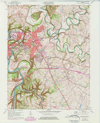
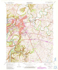
1970 Map of Frankfort East
USGS Topo · Published 1984About this map
The Kentucky River carves a deep path through the limestone landscape of the state capital, framing the eastern expansion of Frankfort and its adjacent neighborhoods like Indian Hills and Highland. This 1970s record shows the city's complex topography, where high ground features like Fort Hill and Penitentiary Hill overlook the river's winding course. The map documents significant institutional footprints, including the Kentucky State College campus and the extensive grounds of the Frankfort State Hospital and School.
Find a feature on this map
47 named features on this map. Tap any name to fly to it.
Don’t see what you’re looking for? This feature index may not catch every label — zoom into the map to look around manually.
Map Details
Editions of this 1970 Frankfort East Map
6 editions found
Other maps of this area

1906 · Lockport
USGS Topo · 1:48,000

1906 · Georgetown
USGS Topo · 1:62,500

1908 · Lockport
USGS Topo · 1:62,500

1908 · Georgetown
USGS Topo · 1:62,500

1922 · Frankfort
USGS Topo · 1:48,000

1924 · Frankfort
USGS Topo · 1:62,500

1939 · Sadieville
USGS Topo · 1:62,500

1951 · Lawrenceburg
USGS Topo · 1:24,000

1952 · Midway
USGS Topo · 1:24,000
1953 · Frankfort West
USGS Topo · 1:24,000