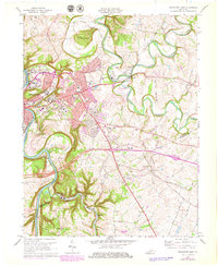
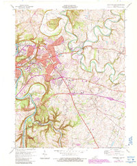
1970 Map of Frankfort East
USGS Topo · Published 1979About this map
Frankfort serves as the focal point of this survey, where the Kentucky River winds through deep meanders past the State Capitol and the Penitentiary. The landscape is defined by the sharp convergence of North Elkhorn Creek and South Elkhorn Creek at the Forks of Elkhorn, an area dotted with historic institutions such as KY State College and the Frankfort State Hospital and School. Outlying areas like Indian Hills and Bon Air Hills represent the mid-century residential expansion beyond the city center. Geologic and topographic landmarks like The Backbone and Fort Hill overlook the river valley, while the presence of the Louisville and Nashville railroad and roads like Leestown Road highlight the transportation corridors that shaped the capital's growth into Franklin and Woodford counties.
Find a feature on this map
50 named features on this map. Tap any name to fly to it.
Don’t see what you’re looking for? This feature index may not catch every label — zoom into the map to look around manually.
Map Details
Editions of this 1970 Frankfort East Map
6 editions found
Other maps of this area

1906 · Lockport
USGS Topo · 1:48,000

1906 · Georgetown
USGS Topo · 1:62,500

1908 · Lockport
USGS Topo · 1:62,500

1908 · Georgetown
USGS Topo · 1:62,500

1922 · Frankfort
USGS Topo · 1:48,000

1924 · Frankfort
USGS Topo · 1:62,500

1939 · Sadieville
USGS Topo · 1:62,500

1951 · Lawrenceburg
USGS Topo · 1:24,000

1952 · Midway
USGS Topo · 1:24,000
1953 · Frankfort West
USGS Topo · 1:24,000