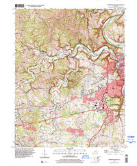
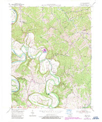
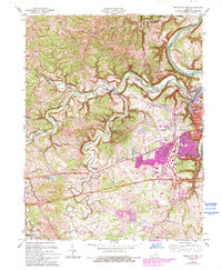
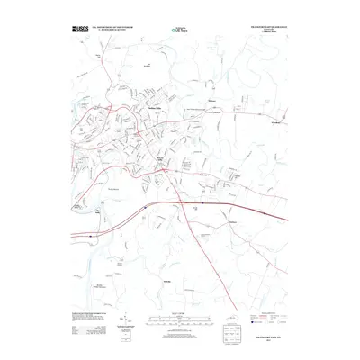
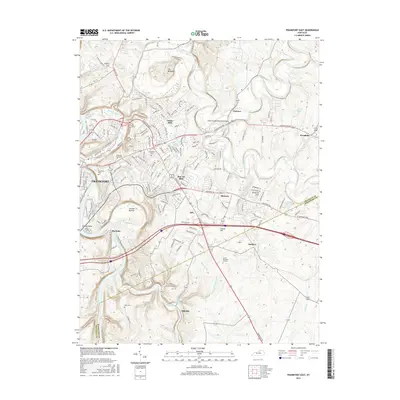
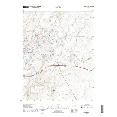
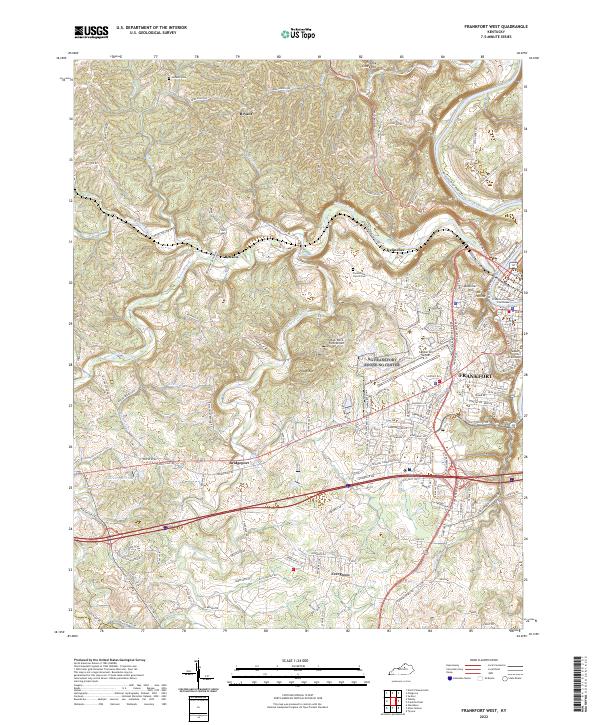
1997 Map of Frankfort West
USGS Topo · Published 2000About this map
The Kentucky River carves a sharp, deep path through the eastern edge of this landscape, framing the western reaches of the state capital. Urban expansion from Frankfort pushes toward the limestone uplands, evidenced by the presence of the Boone National Guard Center and the Capital City Airport. The interior is defined by the winding course of Benson Creek, where the terrain transitions from dense residential developments to more traditional rural settlements.
Find a feature on this map
59 named features on this map. Tap any name to fly to it.
Don’t see what you’re looking for? This feature index may not catch every label — zoom into the map to look around manually.
Map Details
Editions of this 1997 Frankfort West Map
This is the sole edition of this map. No revisions or reprints were ever made.
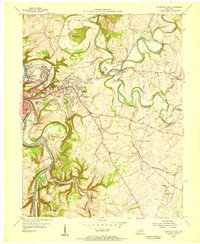
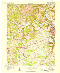
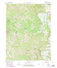
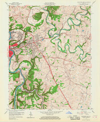
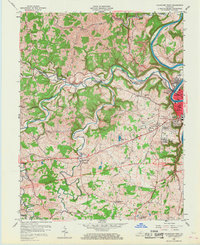
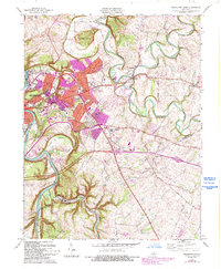
Historical Maps of Frankfort Through Time
30 maps found
1953 Frankfort East
Franklin County, KY
1953 Frankfort West
Franklin County, KY
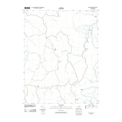
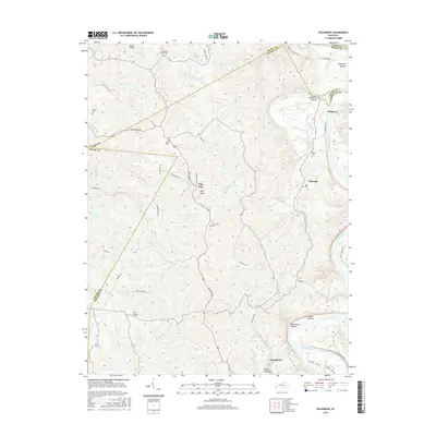
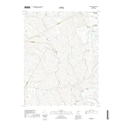
1953 Polsgrove
Franklin County, KY
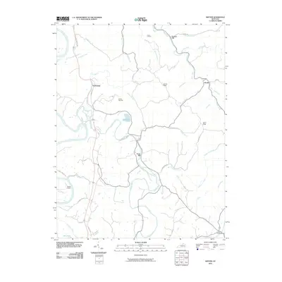
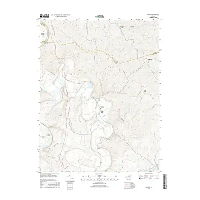
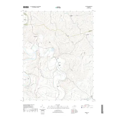
1954 Switzer
Franklin County, KY
1959 Frankfort East
Franklin County, KY
1959 Frankfort West
Franklin County, KY
1970 Frankfort East
Franklin County, KY
1970 Frankfort West
Franklin County, KY
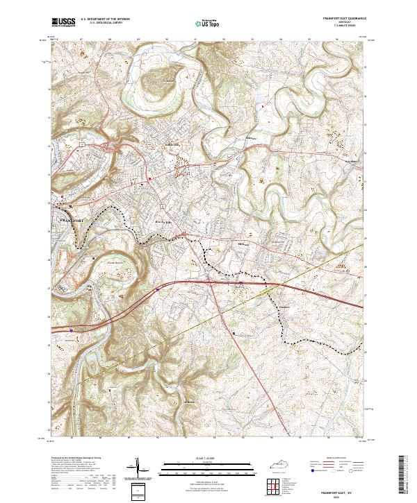
1996 Frankfort East
Franklin County, KY
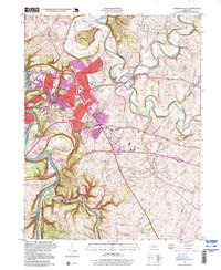
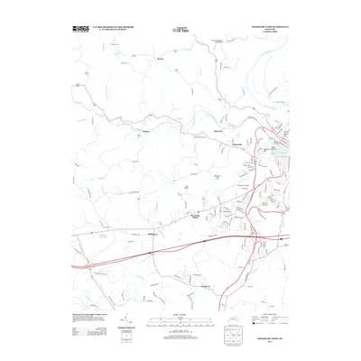
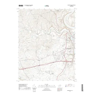
1997 Frankfort West
Franklin County, KY
2010 Frankfort East
Franklin County, KY
2010 Frankfort West
Franklin County, KY
2010 Polsgrove
Franklin County, KY
2010 Switzer
Franklin County, KY
2013 Frankfort East
Franklin County, KY
2013 Frankfort West
Franklin County, KY
2013 Polsgrove
Franklin County, KY
2013 Switzer
Franklin County, KY
2016 Frankfort East
Franklin County, KY
2016 Frankfort West
Franklin County, KY
2016 Polsgrove
Franklin County, KY
2016 Switzer
Franklin County, KY
2019 Frankfort East
Franklin County, KY
2019 Frankfort West
Franklin County, KY
2019 Polsgrove
Franklin County, KY
2019 Switzer
Franklin County, KY
2022 Frankfort East
Franklin County, KY
2022 Frankfort West
Franklin County, KY
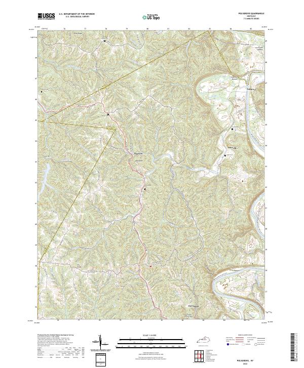
2022 Polsgrove
Franklin County, KY
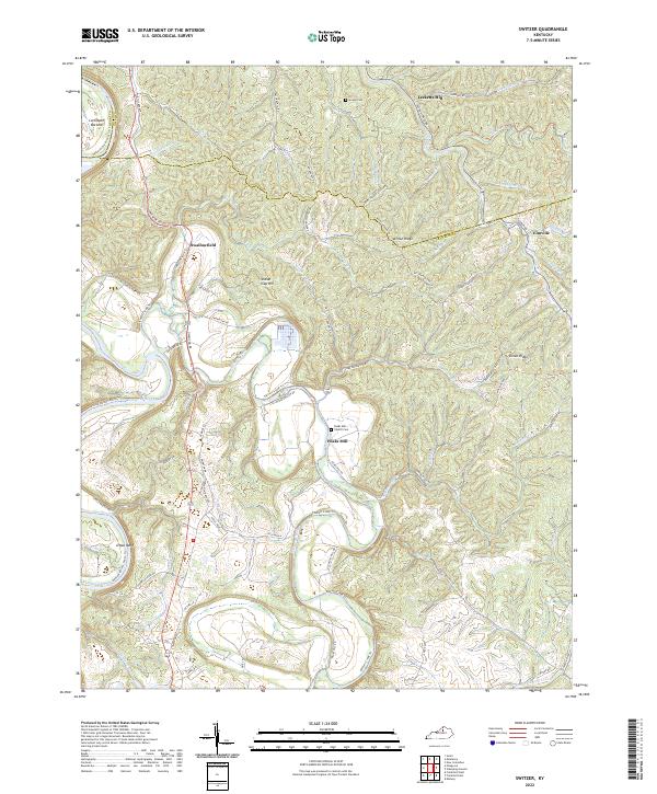
2022 Switzer
Franklin County, KY