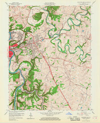
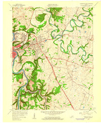
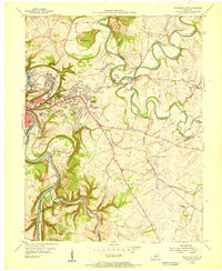
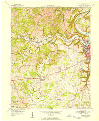
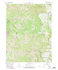
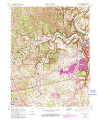
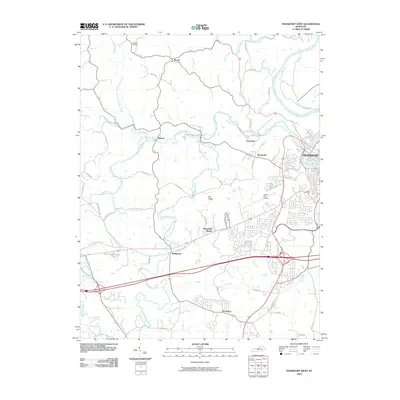
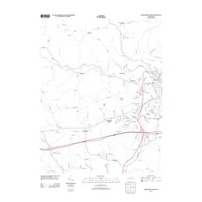
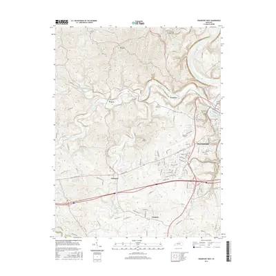
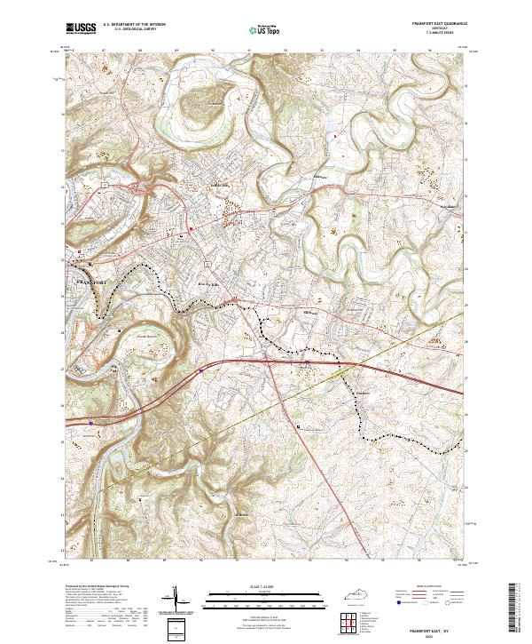
1959 Map of Frankfort East
USGS Topo · Published 1968About this map
Frankfort expands eastward toward the winding courses of Elkhorn Creek in this mid-century survey. The landscape is defined by the sharp meanders of the Kentucky River and the prominent ridge known as The Backbone, which looms over the northern valley. Academic and institutional life is central to the area, evidenced by the presence of the State College and its associated State College Farm, along with the State Training Home.
Find a feature on this map
68 named features on this map. Tap any name to fly to it.
Don’t see what you’re looking for? This feature index may not catch every label — zoom into the map to look around manually.
Map Details
Editions of this 1959 Frankfort East Map
2 editions found
Historical Maps of Frankfort Through Time
30 maps found
1953 Frankfort East
Franklin County, KY
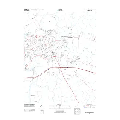
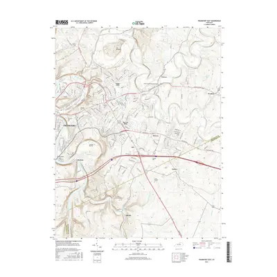
1953 Frankfort West
Franklin County, KY
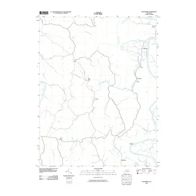
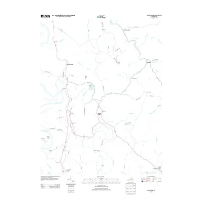
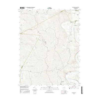
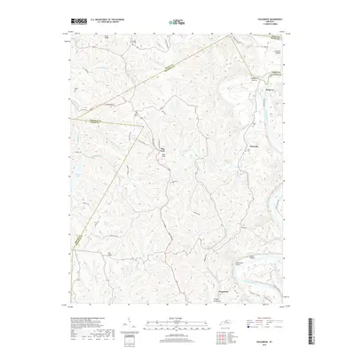
1953 Polsgrove
Franklin County, KY
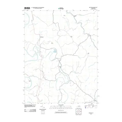
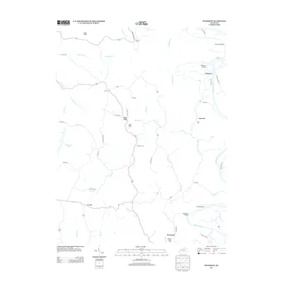
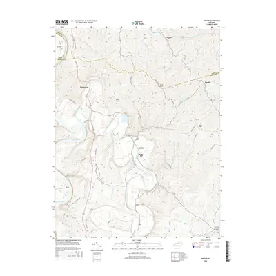
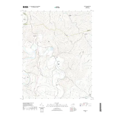
1954 Switzer
Franklin County, KY
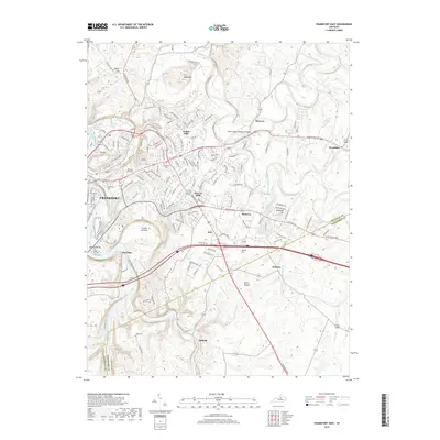
1959 Frankfort East
Franklin County, KY
1959 Frankfort West
Franklin County, KY
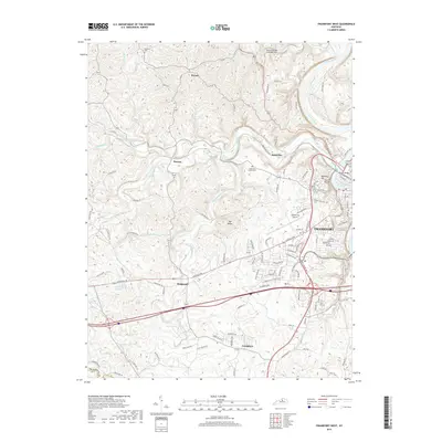
1970 Frankfort East
Franklin County, KY
1970 Frankfort West
Franklin County, KY
1996 Frankfort East
Franklin County, KY
1997 Frankfort West
Franklin County, KY
2010 Frankfort East
Franklin County, KY
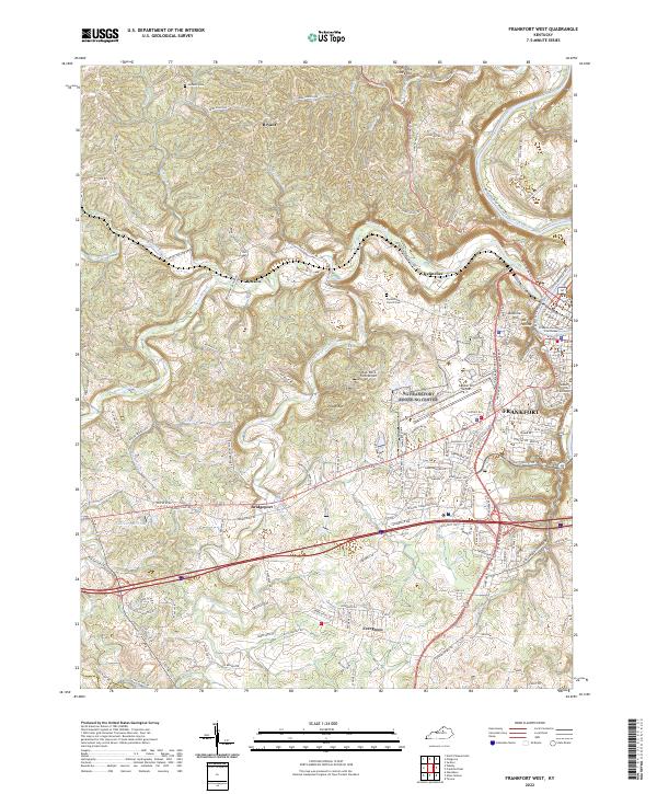
2010 Frankfort West
Franklin County, KY
2010 Polsgrove
Franklin County, KY
2010 Switzer
Franklin County, KY
2013 Frankfort East
Franklin County, KY
2013 Frankfort West
Franklin County, KY
2013 Polsgrove
Franklin County, KY
2013 Switzer
Franklin County, KY
2016 Frankfort East
Franklin County, KY
2016 Frankfort West
Franklin County, KY
2016 Polsgrove
Franklin County, KY
2016 Switzer
Franklin County, KY
2019 Frankfort East
Franklin County, KY
2019 Frankfort West
Franklin County, KY
2019 Polsgrove
Franklin County, KY
2019 Switzer
Franklin County, KY
2022 Frankfort East
Franklin County, KY
2022 Frankfort West
Franklin County, KY
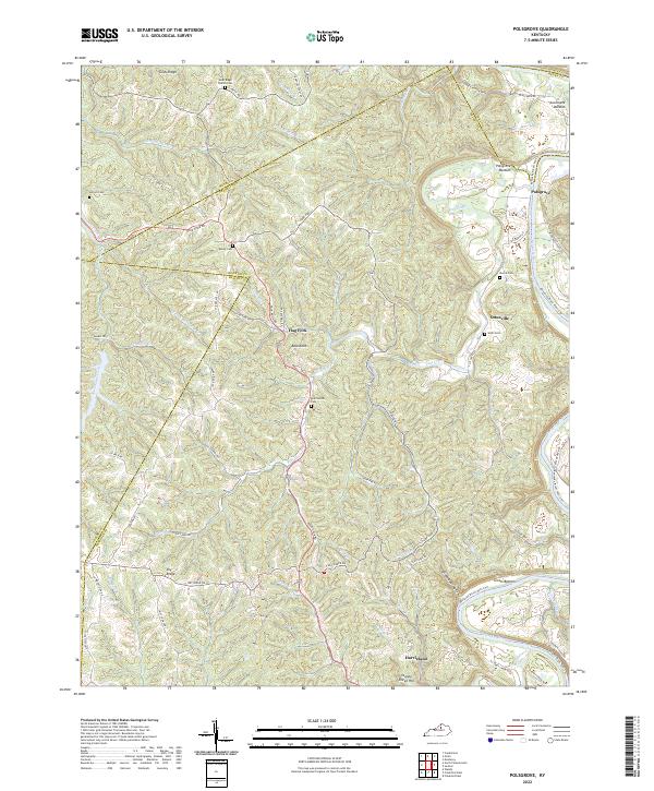
2022 Polsgrove
Franklin County, KY
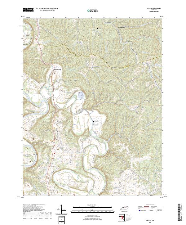
2022 Switzer
Franklin County, KY