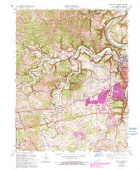
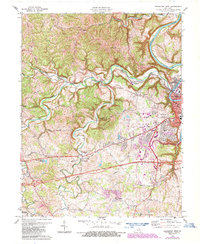
1970 Map of Frankfort West
USGS Topo · Published 1993About this map
Frankfort serves as the focal point of this survey, where the winding Kentucky River and the steep slopes of Devils Hollow frame the state's seat of power. The urban core shows significant development, including the Capital Plaza, City Hall, and the Armory, contrasted by the surrounding ridges and hollows. Beyond the city center, the landscape is defined by the winding course of Benson Creek and its many tributaries, such as Taylor Branch, which drain the upland farms and woodlots.
Find a feature on this map
51 named features on this map. Tap any name to fly to it.
Don’t see what you’re looking for? This feature index may not catch every label — zoom into the map to look around manually.
Map Details
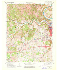
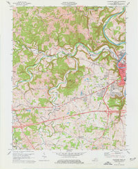
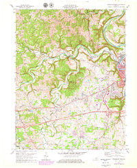
Editions of this 1970 Frankfort West Map
5 editions found
Other maps of this area

1906 · Lockport
USGS Topo · 1:48,000

1908 · Lockport
USGS Topo · 1:62,500

1922 · Frankfort
USGS Topo · 1:48,000

1923 · Waddy
USGS Topo · 1:48,000

1924 · Frankfort
USGS Topo · 1:62,500

1925 · Mount Eden
USGS Topo · 1:48,000

1927 · Mount Eden
USGS Topo · 1:62,500

1928 · New Castle
USGS Topo · 1:48,000

1932 · New Castle
USGS Topo · 1:62,500

1951 · Lawrenceburg
USGS Topo · 1:24,000