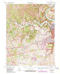
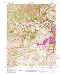
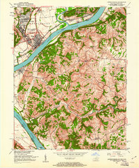
1970 Map of Frankfort West
USGS Topo · Published 1987About this map
The Kentucky River carves a deep valley through the limestone plateau as it winds past the state capital at Frankfort. This 1970 landscape shows the city's westward expansion, where suburban growth meets the traditional rural character of the Bluegrass region. The meandering path of Benson Creek and its many tributaries, such as North Fork Benson Creek and South Benson Creek, define the local topography and historical transportation routes.
Find a feature on this map
68 named features on this map. Tap any name to fly to it.
Don’t see what you’re looking for? This feature index may not catch every label — zoom into the map to look around manually.
Map Details
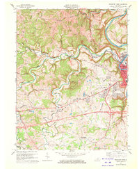
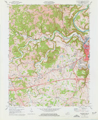
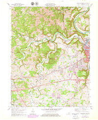
Editions of this 1970 Frankfort West Map
5 editions found
Other maps of this area

1906 · Lockport
USGS Topo · 1:48,000

1908 · Lockport
USGS Topo · 1:62,500

1922 · Frankfort
USGS Topo · 1:48,000

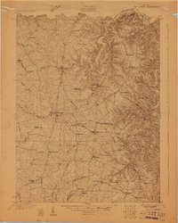
1923 · Waddy
USGS Topo · 1:48,000
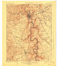
1924 · Frankfort
USGS Topo · 1:62,500

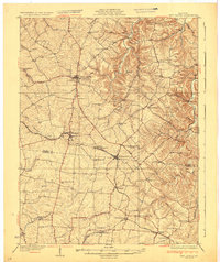
1925 · Mount Eden
USGS Topo · 1:48,000

1927 · Mount Eden
USGS Topo · 1:62,500
1928 · New Castle
USGS Topo · 1:48,000
1932 · New Castle
USGS Topo · 1:62,500
1951 · Lawrenceburg
USGS Topo · 1:24,000